Estimated Value: $375,879 - $505,000
--
Bed
--
Bath
2,106
Sq Ft
$209/Sq Ft
Est. Value
About This Home
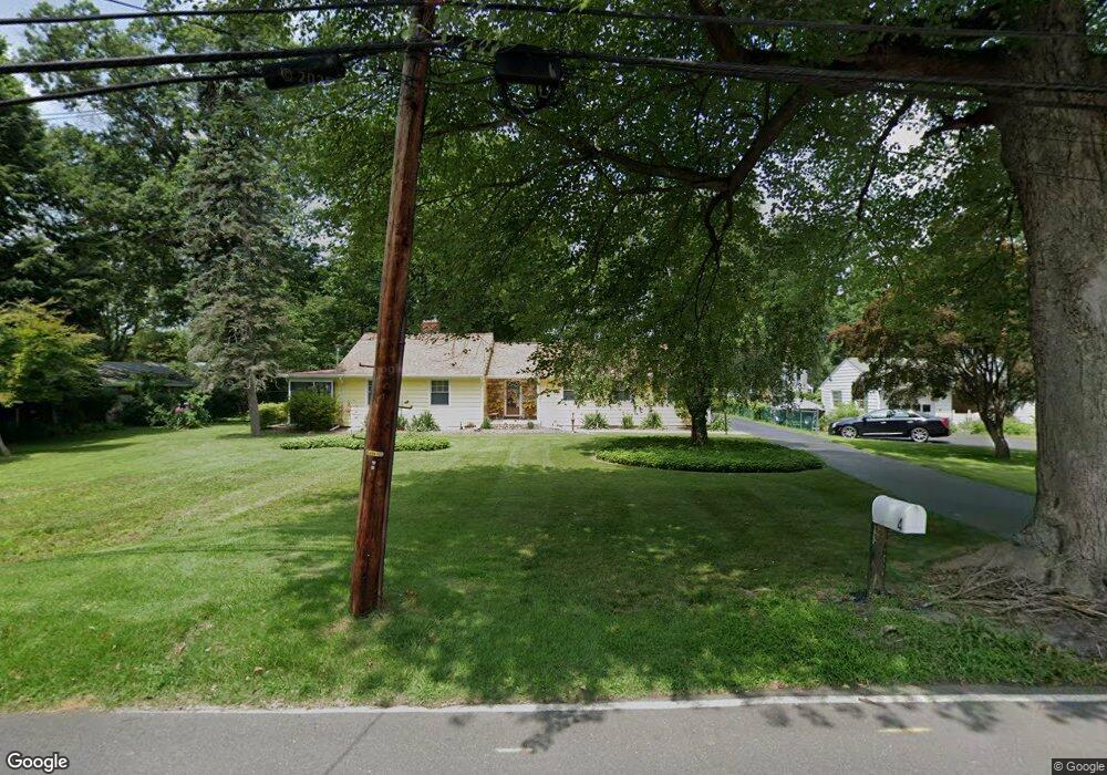
This home is located at 4 Wilburtha Rd, Ewing, NJ 08628 and is currently estimated at $439,720, approximately $208 per square foot. 4 Wilburtha Rd is a home located in Mercer County with nearby schools including Ewing High School, The Village Charter School, and Christina Seix Academy.
Ownership History
Date
Name
Owned For
Owner Type
Purchase Details
Closed on
Feb 3, 2017
Sold by
Wooden Ralph H and Wooden Christine L Hewitt
Bought by
Wooden Christine L Hewitt
Current Estimated Value
Purchase Details
Closed on
Dec 31, 1996
Sold by
Voorhees Foster
Bought by
Wooden Ralph and Wooden Christine
Home Financials for this Owner
Home Financials are based on the most recent Mortgage that was taken out on this home.
Original Mortgage
$125,000
Interest Rate
7.36%
Create a Home Valuation Report for This Property
The Home Valuation Report is an in-depth analysis detailing your home's value as well as a comparison with similar homes in the area
Home Values in the Area
Average Home Value in this Area
Purchase History
| Date | Buyer | Sale Price | Title Company |
|---|---|---|---|
| Wooden Christine L Hewitt | -- | None Available | |
| Wooden Ralph | $157,500 | -- |
Source: Public Records
Mortgage History
| Date | Status | Borrower | Loan Amount |
|---|---|---|---|
| Previous Owner | Wooden Ralph | $125,000 |
Source: Public Records
Tax History Compared to Growth
Tax History
| Year | Tax Paid | Tax Assessment Tax Assessment Total Assessment is a certain percentage of the fair market value that is determined by local assessors to be the total taxable value of land and additions on the property. | Land | Improvement |
|---|---|---|---|---|
| 2025 | $10,859 | $276,100 | $78,000 | $198,100 |
| 2024 | $10,207 | $276,100 | $78,000 | $198,100 |
| 2023 | $10,207 | $276,100 | $78,000 | $198,100 |
| 2022 | $9,931 | $276,100 | $78,000 | $198,100 |
| 2021 | $9,688 | $276,100 | $78,000 | $198,100 |
| 2020 | $9,300 | $276,100 | $78,000 | $198,100 |
| 2019 | $9,302 | $276,100 | $78,000 | $198,100 |
| 2018 | $9,175 | $173,700 | $76,700 | $97,000 |
| 2017 | $9,388 | $173,700 | $76,700 | $97,000 |
| 2016 | $9,262 | $173,700 | $76,700 | $97,000 |
| 2015 | $8,888 | $173,700 | $76,700 | $97,000 |
| 2014 | $8,864 | $173,700 | $76,700 | $97,000 |
Source: Public Records
Map
Nearby Homes
- 4 Locke Ct
- 30 Matthew Dr
- 18 Jacob Ct
- 4 Riverview Dr
- 12 Jacob Ct
- 47 E College Ave
- 42 W College Ave Unit 316
- 42 W College Ave Unit 324
- 42 W College Ave Unit 222
- 0 Dolington Rd
- 29 Cadwallader Ct
- 202 W Upper Ferry Rd
- 167 Harper Ave
- 1048 River Rd
- 182 W Upper Ferry Rd
- 0 Sandy Run Rd Unit PABU2098286
- 0 Sandy Run Rd Unit PABU2099898
- 0 Sandy Run Rd Unit PABU2099912
- 1302 Yardley Commons
- 1603 Yardley Commons