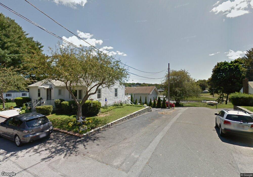
4 William Rd Unit 1 Gloucester, MA 01930
Riverview NeighborhoodEstimated Value: $887,000 - $1,217,000
3
Beds
1
Bath
1,600
Sq Ft
$661/Sq Ft
Est. Value
About This Home
This home is located at 4 William Rd Unit 1, Gloucester, MA 01930 and is currently estimated at $1,058,109, approximately $661 per square foot. 4 William Rd Unit 1 is a home located in Essex County with nearby schools including Beeman Memorial, Ralph B O'maley Middle School, and Gloucester High School.
Ownership History
Date
Name
Owned For
Owner Type
Purchase Details
Closed on
Apr 16, 2020
Sold by
Horne Laurie A
Bought by
Laurie A Horne Ret
Current Estimated Value
Purchase Details
Closed on
Dec 2, 2009
Sold by
Aurora Loan Services L
Bought by
Horne Laurie Ann
Purchase Details
Closed on
Oct 22, 2009
Sold by
Pike Bryan
Bought by
Aurora Loan Services L
Purchase Details
Closed on
Dec 13, 1996
Sold by
Noto Salvatore and Noto Grazia
Bought by
Palazzolo Giuseppe and Palazzolo Jennifer
Create a Home Valuation Report for This Property
The Home Valuation Report is an in-depth analysis detailing your home's value as well as a comparison with similar homes in the area
Home Values in the Area
Average Home Value in this Area
Purchase History
| Date | Buyer | Sale Price | Title Company |
|---|---|---|---|
| Laurie A Horne Ret | -- | None Available | |
| Horne Laurie Ann | $450,000 | -- | |
| Aurora Loan Services L | $368,000 | -- | |
| Palazzolo Giuseppe | $195,000 | -- |
Source: Public Records
Mortgage History
| Date | Status | Borrower | Loan Amount |
|---|---|---|---|
| Previous Owner | Palazzolo Giuseppe | $560,000 | |
| Previous Owner | Palazzolo Giuseppe | $105,000 |
Source: Public Records
Tax History
| Year | Tax Paid | Tax Assessment Tax Assessment Total Assessment is a certain percentage of the fair market value that is determined by local assessors to be the total taxable value of land and additions on the property. | Land | Improvement |
|---|---|---|---|---|
| 2025 | $11,485 | $1,181,600 | $713,600 | $468,000 |
| 2024 | $11,091 | $1,139,900 | $679,300 | $460,600 |
| 2023 | $10,723 | $1,012,600 | $579,700 | $432,900 |
| 2022 | $10,190 | $868,700 | $504,000 | $364,700 |
| 2021 | $10,101 | $812,000 | $458,400 | $353,600 |
| 2020 | $9,665 | $783,900 | $458,400 | $325,500 |
| 2019 | $9,465 | $745,900 | $437,100 | $308,800 |
| 2018 | $9,342 | $722,500 | $426,400 | $296,100 |
| 2017 | $9,089 | $689,100 | $406,200 | $282,900 |
| 2016 | $8,641 | $634,900 | $388,600 | $246,300 |
| 2015 | $8,344 | $611,300 | $379,700 | $231,600 |
Source: Public Records
Map
Nearby Homes
- 2 Breezy Point Rd
- 13 Honeysuckle Rd
- 3 Deacon Farm Ln
- 31 Echo Ave
- 672 Washington St
- 167 Atlantic St
- 178 Atlantic St
- 226 Atlantic St
- 13 Mystic Ave
- 8 Mystic Ave
- 6 Monroe Ct
- 98 Maplewood Ave
- 9 Cleveland Place
- 12 Arthur St
- 40 Sargent St
- 15 Harvard St
- 19 Trask St Unit 2
- 145 Essex Ave Unit 402
- 33 Maplewood Ave Unit 310
- 50 Warner St
Your Personal Tour Guide
Ask me questions while you tour the home.