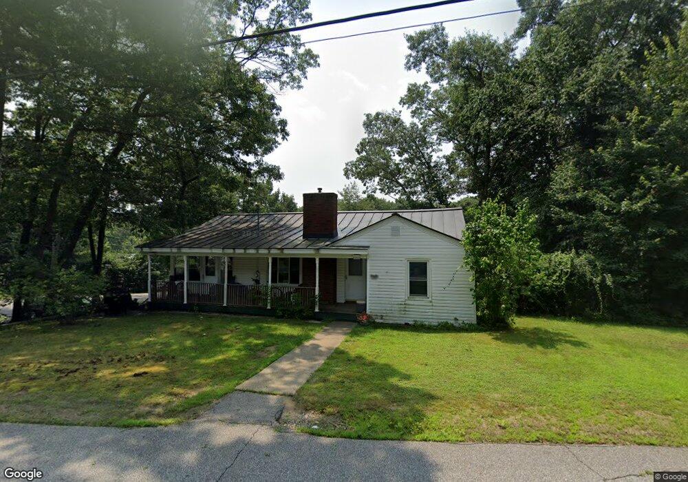
4 Woodcrest Dr Hooksett, NH 03106
Estimated Value: $446,000 - $511,000
3
Beds
1
Bath
1,250
Sq Ft
$383/Sq Ft
Est. Value
About This Home
This home is located at 4 Woodcrest Dr, Hooksett, NH 03106 and is currently estimated at $478,950, approximately $383 per square foot. 4 Woodcrest Dr is a home located in Merrimack County with nearby schools including Fred C. Underhill School, Hooksett Memorial School, and David R. Cawley Middle School.
Ownership History
Date
Name
Owned For
Owner Type
Purchase Details
Closed on
Apr 29, 1996
Sold by
Leavitt Harold M and Leavitt Dolores Ayotte
Bought by
Brockway Daniel R and Brockway Karen S
Current Estimated Value
Home Financials for this Owner
Home Financials are based on the most recent Mortgage that was taken out on this home.
Original Mortgage
$79,800
Outstanding Balance
$4,468
Interest Rate
7.81%
Estimated Equity
$474,482
Create a Home Valuation Report for This Property
The Home Valuation Report is an in-depth analysis detailing your home's value as well as a comparison with similar homes in the area
Home Values in the Area
Average Home Value in this Area
Purchase History
| Date | Buyer | Sale Price | Title Company |
|---|---|---|---|
| Brockway Daniel R | $84,000 | -- |
Source: Public Records
Mortgage History
| Date | Status | Borrower | Loan Amount |
|---|---|---|---|
| Open | Brockway Daniel R | $79,800 |
Source: Public Records
Tax History Compared to Growth
Tax History
| Year | Tax Paid | Tax Assessment Tax Assessment Total Assessment is a certain percentage of the fair market value that is determined by local assessors to be the total taxable value of land and additions on the property. | Land | Improvement |
|---|---|---|---|---|
| 2024 | $7,184 | $423,600 | $140,000 | $283,600 |
| 2023 | $6,769 | $423,600 | $140,000 | $283,600 |
| 2022 | $5,637 | $234,400 | $82,800 | $151,600 |
| 2021 | $5,208 | $234,400 | $82,800 | $151,600 |
| 2020 | $5,276 | $234,400 | $82,800 | $151,600 |
| 2019 | $5,051 | $234,400 | $82,800 | $151,600 |
| 2018 | $5,185 | $234,400 | $82,800 | $151,600 |
| 2017 | $5,008 | $187,300 | $78,000 | $109,300 |
| 2016 | $4,943 | $187,300 | $78,000 | $109,300 |
| 2015 | $4,630 | $187,300 | $78,000 | $109,300 |
| 2014 | $4,651 | $187,300 | $78,000 | $109,300 |
| 2013 | $4,398 | $187,300 | $78,000 | $109,300 |
Source: Public Records
Map
Nearby Homes
- 45 Leonard Ave
- 6 Deerhead St
- 190 Chase Way
- 212 Kearney St
- 128 Mammoth Rd Unit 122
- 126 Mammoth Rd Unit 1
- 136 Mammoth Rd Unit 628
- 541 Pickering St
- 29 Golden Gate Dr
- 755 Straw Hill Rd
- 118 Madeline Rd
- 27 Martins Ferry Rd
- 1515 Belmont St
- 117 Arthur Ave
- 13 Johns Dr
- 15 Johns Dr
- 75 W Haven Rd
- 286 Londonderry Turnpike Unit A
- 534 Fox Hollow Way
- 286B Londonderry Turnpike Unit A
- 2 Red Oak Ln
- 7 Woodcrest Dr
- 5 Woodcrest Dr
- 6 Woodcrest Dr
- 15 W Stearns Ave
- 19 W Stearns Ave
- 11 Ridgeview Dr
- 20 W Stearns Ave
- 3 Red Oak Ln
- 9 Woodcrest Dr
- 18 W Stearns Ave
- 13 W Stearns Ave
- 15 Ridgeview Dr
- 11 Woodcrest Dr
- 9 Ridgeview Dr
- 1 Ridgeview Dr
- 16 W Stearns Ave
- 11 W Stearns Ave
- 17 Ridgeview Dr
- 14 W Stearns Ave