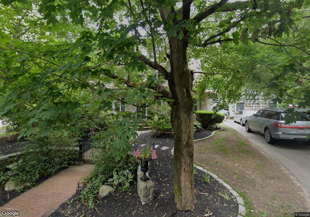
4 Woodside Ave Brockton, MA 02301
Campello NeighborhoodEstimated Value: $542,000 - $630,000
4
Beds
2
Baths
2,504
Sq Ft
$234/Sq Ft
Est. Value
About This Home
This home is located at 4 Woodside Ave, Brockton, MA 02301 and is currently estimated at $586,606, approximately $234 per square foot. 4 Woodside Ave is a home located in Plymouth County with nearby schools including Gilmore Elementary School, Davis K-8 School, and John F. Kennedy Elementary School.
Ownership History
Date
Name
Owned For
Owner Type
Purchase Details
Closed on
Jul 5, 2012
Sold by
Warren Joseph L and Warren Donna L
Bought by
4 Woodside Ave Rt
Current Estimated Value
Purchase Details
Closed on
Mar 17, 2005
Sold by
Warren Joseph L and Warren Donna L
Bought by
Warren Brent Taylor
Home Financials for this Owner
Home Financials are based on the most recent Mortgage that was taken out on this home.
Original Mortgage
$239,000
Interest Rate
5.64%
Mortgage Type
Purchase Money Mortgage
Create a Home Valuation Report for This Property
The Home Valuation Report is an in-depth analysis detailing your home's value as well as a comparison with similar homes in the area
Home Values in the Area
Average Home Value in this Area
Purchase History
| Date | Buyer | Sale Price | Title Company |
|---|---|---|---|
| 4 Woodside Ave Rt | -- | -- | |
| Warren Brent Taylor | -- | -- | |
| Warren Joseph L | -- | -- |
Source: Public Records
Mortgage History
| Date | Status | Borrower | Loan Amount |
|---|---|---|---|
| Previous Owner | Warren Joseph L | $239,000 | |
| Previous Owner | Warren Joseph L | $100,000 | |
| Previous Owner | Warren Joseph L | $135,000 |
Source: Public Records
Tax History Compared to Growth
Tax History
| Year | Tax Paid | Tax Assessment Tax Assessment Total Assessment is a certain percentage of the fair market value that is determined by local assessors to be the total taxable value of land and additions on the property. | Land | Improvement |
|---|---|---|---|---|
| 2025 | $5,832 | $481,600 | $146,000 | $335,600 |
| 2024 | $5,587 | $464,800 | $146,000 | $318,800 |
| 2023 | $5,797 | $446,600 | $111,100 | $335,500 |
| 2022 | $5,582 | $399,600 | $101,000 | $298,600 |
| 2021 | $5,982 | $360,400 | $95,600 | $264,800 |
| 2020 | $5,048 | $333,200 | $91,600 | $241,600 |
| 2019 | $4,651 | $299,300 | $86,000 | $213,300 |
| 2018 | $4,547 | $283,100 | $86,000 | $197,100 |
| 2017 | $5,074 | $260,600 | $86,000 | $174,600 |
| 2016 | $4,389 | $252,800 | $82,100 | $170,700 |
| 2015 | $4,066 | $224,000 | $82,100 | $141,900 |
| 2014 | $4,290 | $236,600 | $82,100 | $154,500 |
Source: Public Records
Map
Nearby Homes
- 358 Copeland St
- 13 Finny's Way
- 15 Fieldstone Dr
- 15 Longworth Ave Unit 231
- 35 Longworth Ave Unit 17
- 1 Fairway Dr
- 47 Southworth St
- 1435 Main St
- 21 Roosevelt Ave
- 57 Copeland St
- 15 Otto St
- 115 Market St
- 16 Friendship Dr
- 163 S Leyden St
- 1036 Ash St
- 18 American Ave
- 65 Tremont St
- 223 Clinton St Unit 10
- 223 Clinton St Unit 3
- 223 Clinton St Unit 16
- 379 Copeland St
- 14 Woodside Ave
- 17 Woodside Ave
- 17 Woodside Ave Unit 1
- 22 Woodside Ave
- 370 Copeland St
- 397 Copeland St
- 349 Copeland St
- 362 Copeland St
- 393 Copeland St
- 151 Hayward Ave
- 21 Woodside Ave
- 86 Glendale Ave
- 26 Woodside Ave
- 345 Copeland St
- 350 Copeland St
- 89 Glendale Ave
- 184 Hubbard Ave
- 148 Hubbard Ave
- 80 Glendale Ave