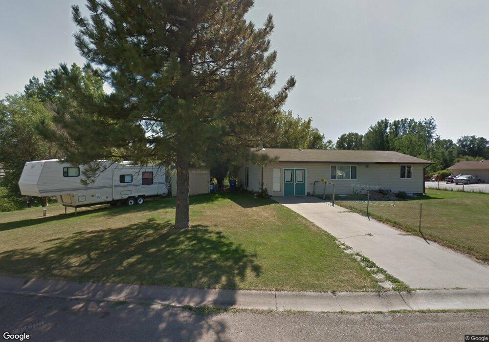
4 Yucca Dr Colstrip, MT 59323
Estimated Value: $167,000 - $268,000
4
Beds
3
Baths
1,152
Sq Ft
$183/Sq Ft
Est. Value
About This Home
This home is located at 4 Yucca Dr, Colstrip, MT 59323 and is currently estimated at $210,838, approximately $183 per square foot. 4 Yucca Dr is a home located in Rosebud County with nearby schools including Pine Butte Elementary School and Frank Brattin Middle School.
Ownership History
Date
Name
Owned For
Owner Type
Purchase Details
Closed on
May 13, 2021
Sold by
Guerin Kristin R
Bought by
Shot-Gunn Crystal F and Spang Terry L
Current Estimated Value
Home Financials for this Owner
Home Financials are based on the most recent Mortgage that was taken out on this home.
Original Mortgage
$101,850
Outstanding Balance
$92,302
Interest Rate
3.1%
Mortgage Type
New Conventional
Estimated Equity
$118,536
Purchase Details
Closed on
Sep 21, 2018
Sold by
Rux Kenneth R and Rux Cynthia L
Bought by
Guerin Kristin R
Home Financials for this Owner
Home Financials are based on the most recent Mortgage that was taken out on this home.
Original Mortgage
$73,600
Interest Rate
4%
Mortgage Type
New Conventional
Purchase Details
Closed on
Jul 22, 2010
Sold by
Ridenour William L
Bought by
Rux Kenneth R and Rux Cynthia L
Create a Home Valuation Report for This Property
The Home Valuation Report is an in-depth analysis detailing your home's value as well as a comparison with similar homes in the area
Home Values in the Area
Average Home Value in this Area
Purchase History
| Date | Buyer | Sale Price | Title Company |
|---|---|---|---|
| Shot-Gunn Crystal F | $127,312 | First American Title | |
| Spang Terry L | -- | First American Title Company | |
| Guerin Kristin R | $92,000 | Other | |
| Guerin Kristin R | -- | None Available | |
| Rux Kenneth R | -- | -- |
Source: Public Records
Mortgage History
| Date | Status | Borrower | Loan Amount |
|---|---|---|---|
| Open | Spang Terry L | $101,850 | |
| Closed | Shot-Gunn Crystal F | $101,850 | |
| Previous Owner | Guerin Kristin R | $73,600 |
Source: Public Records
Tax History Compared to Growth
Tax History
| Year | Tax Paid | Tax Assessment Tax Assessment Total Assessment is a certain percentage of the fair market value that is determined by local assessors to be the total taxable value of land and additions on the property. | Land | Improvement |
|---|---|---|---|---|
| 2025 | $510 | $135,300 | $0 | $0 |
| 2024 | $991 | $110,600 | $0 | $0 |
| 2023 | $935 | $110,600 | $0 | $0 |
| 2022 | $816 | $104,100 | $0 | $0 |
| 2021 | $818 | $104,100 | $0 | $0 |
| 2020 | $767 | $111,500 | $0 | $0 |
| 2019 | $685 | $111,500 | $0 | $0 |
| 2018 | $634 | $100,800 | $0 | $0 |
| 2017 | $568 | $100,800 | $0 | $0 |
| 2016 | $612 | $108,000 | $0 | $0 |
| 2015 | $378 | $108,000 | $0 | $0 |
| 2014 | $228 | $39,697 | $0 | $0 |
Source: Public Records
Map
Nearby Homes
- 4 Sumac Ct
- 115 Olive Dr
- 420 Water Ave
- 17 Clover Dr
- 73 Snider Subdivision Rd
- 61 Diamond Ranch Ln
- 1376 Rosebud Creek Rd
- Nhn Lone Rock Canyon Lot: Sc-28
- Lone Rock Canyon Lane Unit: Sc-25
- TBD Lone Rock Canyon Ln Unit SC-28
- TBD Lone Rock Canyon Ln Unit SC-25
- Lone Rock Canyon Lane Unit: Sc-28
- 418 Ridge Dr
- 78 Rock Canyon Ln Unit BLK-4
- 78 Rock Canyon Ln
- 104 W 4th St
- 249 Overland Road N Lot: 58
- 249 Overland Rd N
- 78 Rock Canyon Lane Unit: Blk-4
- 78 Rock Canyon Lane Lot: Sc-Blk-4