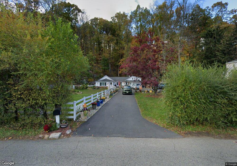
40-40 40 Emmans Rd Rd Roxbury, NJ 07852
Estimated Value: $425,332 - $457,000
--
Bed
1
Bath
1,133
Sq Ft
$389/Sq Ft
Est. Value
About This Home
This home is located at 40-40 40 Emmans Rd Rd, Roxbury, NJ 07852 and is currently estimated at $440,583, approximately $388 per square foot. 40-40 40 Emmans Rd Rd is a home located in Morris County with nearby schools including Eisenhower Middle School, Lincoln Roosevelt Elementary School, and Roxbury High School.
Ownership History
Date
Name
Owned For
Owner Type
Purchase Details
Closed on
Jul 23, 2024
Sold by
Mikus Brian and Mikus Samantha
Bought by
Elam Aleah
Current Estimated Value
Home Financials for this Owner
Home Financials are based on the most recent Mortgage that was taken out on this home.
Original Mortgage
$403,555
Interest Rate
6.63%
Mortgage Type
FHA
Purchase Details
Closed on
Sep 15, 2004
Sold by
Krauer Gregory
Bought by
Mikus Brian
Home Financials for this Owner
Home Financials are based on the most recent Mortgage that was taken out on this home.
Original Mortgage
$220,000
Interest Rate
5.89%
Purchase Details
Closed on
Jun 1, 2000
Sold by
Beacham Jeffrey B
Bought by
Krauer Gregory S
Home Financials for this Owner
Home Financials are based on the most recent Mortgage that was taken out on this home.
Original Mortgage
$127,800
Interest Rate
8.14%
Create a Home Valuation Report for This Property
The Home Valuation Report is an in-depth analysis detailing your home's value as well as a comparison with similar homes in the area
Home Values in the Area
Average Home Value in this Area
Purchase History
| Date | Buyer | Sale Price | Title Company |
|---|---|---|---|
| Elam Aleah | $411,000 | Fidelity National Title | |
| Mikus Brian | $275,000 | -- | |
| Krauer Gregory S | $142,000 | -- |
Source: Public Records
Mortgage History
| Date | Status | Borrower | Loan Amount |
|---|---|---|---|
| Previous Owner | Elam Aleah | $403,555 | |
| Previous Owner | Mikus Brian | $220,000 | |
| Previous Owner | Krauer Gregory S | $127,800 |
Source: Public Records
Tax History Compared to Growth
Tax History
| Year | Tax Paid | Tax Assessment Tax Assessment Total Assessment is a certain percentage of the fair market value that is determined by local assessors to be the total taxable value of land and additions on the property. | Land | Improvement |
|---|---|---|---|---|
| 2025 | $6,018 | $218,900 | $108,800 | $110,100 |
| 2024 | $5,923 | $218,900 | $108,800 | $110,100 |
| 2023 | $5,923 | $218,900 | $108,800 | $110,100 |
| 2022 | $5,766 | $218,900 | $108,800 | $110,100 |
| 2021 | $5,766 | $218,900 | $108,800 | $110,100 |
| 2020 | $5,755 | $218,900 | $108,800 | $110,100 |
| 2019 | $5,648 | $218,900 | $108,800 | $110,100 |
| 2018 | $5,827 | $135,200 | $72,000 | $63,200 |
| 2017 | $5,796 | $135,200 | $72,000 | $63,200 |
| 2016 | $5,682 | $135,200 | $72,000 | $63,200 |
| 2015 | $5,542 | $135,200 | $72,000 | $63,200 |
| 2014 | $5,454 | $135,200 | $72,000 | $63,200 |
Source: Public Records
Map
Nearby Homes
- 31 Emmans Rd
- 33 Canal St
- 16 Mount Arlington Rd
- 31 Drake Ln
- 26 Woods Edge Dr
- 30 Woods Edge Dr
- 85 Autumn Ct
- 94 Woods Edge Dr
- 238 Drake Ln Unit 238
- 117 Woods Edge Dr
- 219 Woods Edge Dr Unit 219
- 37 Lazarus Dr
- 23 Horizon Dr
- 894 Route46ken
- 27 Jefferson Dr
- 7 Mountainview Rd
- 33 N Hillside Ave
- 6 Glenn Dr
- 34 Hunter St
- 1 High St