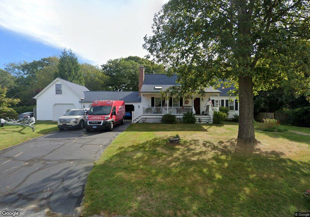
40 Aimee Dr Pawcatuck, CT 06379
Estimated Value: $549,000 - $623,000
3
Beds
3
Baths
1,764
Sq Ft
$337/Sq Ft
Est. Value
About This Home
This home is located at 40 Aimee Dr, Pawcatuck, CT 06379 and is currently estimated at $595,210, approximately $337 per square foot. 40 Aimee Dr is a home located in New London County with nearby schools including Stonington Middle School, Stonington High School, and Pine Point School.
Ownership History
Date
Name
Owned For
Owner Type
Purchase Details
Closed on
Dec 29, 2022
Sold by
Gladych Stanley H and Gladych Rita D
Bought by
Gladych Stanley H and Gladych Rebecca A
Current Estimated Value
Purchase Details
Closed on
Jun 30, 2006
Sold by
Allard Ashlee J
Bought by
Gladych Stanley A and Galdych Rita D
Purchase Details
Closed on
Jul 20, 2001
Sold by
Angus William Gr and Angus Tamera J
Bought by
Allard Ashler J
Create a Home Valuation Report for This Property
The Home Valuation Report is an in-depth analysis detailing your home's value as well as a comparison with similar homes in the area
Home Values in the Area
Average Home Value in this Area
Purchase History
| Date | Buyer | Sale Price | Title Company |
|---|---|---|---|
| Gladych Stanley H | -- | None Available | |
| Gladych Stanley H | -- | None Available | |
| Gladych Stanley A | $345,500 | -- | |
| Gladych Stanley A | $345,500 | -- | |
| Allard Ashler J | $229,000 | -- | |
| Allard Ashler J | $229,000 | -- |
Source: Public Records
Mortgage History
| Date | Status | Borrower | Loan Amount |
|---|---|---|---|
| Previous Owner | Allard Ashler J | $50,000 | |
| Previous Owner | Allard Ashler J | $207,100 |
Source: Public Records
Tax History
| Year | Tax Paid | Tax Assessment Tax Assessment Total Assessment is a certain percentage of the fair market value that is determined by local assessors to be the total taxable value of land and additions on the property. | Land | Improvement |
|---|---|---|---|---|
| 2025 | $7,608 | $397,300 | $120,700 | $276,600 |
| 2024 | $7,283 | $397,300 | $120,700 | $276,600 |
| 2023 | $7,211 | $397,100 | $120,700 | $276,400 |
| 2022 | $5,165 | $210,900 | $72,500 | $138,400 |
| 2021 | $5,207 | $210,900 | $72,500 | $138,400 |
| 2020 | $5,097 | $210,900 | $72,500 | $138,400 |
| 2019 | $5,131 | $210,900 | $72,500 | $138,400 |
| 2018 | $4,958 | $210,900 | $72,500 | $138,400 |
| 2017 | $5,180 | $217,100 | $75,700 | $141,400 |
| 2016 | $5,006 | $217,100 | $75,700 | $141,400 |
| 2015 | $4,791 | $217,100 | $75,700 | $141,400 |
| 2014 | $4,598 | $217,100 | $75,700 | $141,400 |
Source: Public Records
Map
Nearby Homes
- 39 Summertime Cir
- 25 Summertime Cir
- 38 Summertime Cir
- 45 Summertime Cir
- 22 Summertime Cir
- 23 Summertime Cir
- 2 Pawcatuck Ave
- 0 River Unit 24129909
- 60 Margin St Unit 102
- 0 Green Ave
- 16 Green Ave
- 93 S Broad St
- 93A S Broad St
- 65 Mechanic St
- 24 Abbey Ln Unit 13
- 23 Abbey Ln Unit 12
- 13 Palmer St
- 18 Timothy Dr
- 417 River Rd
- 51 Pequot Trail
Your Personal Tour Guide
Ask me questions while you tour the home.