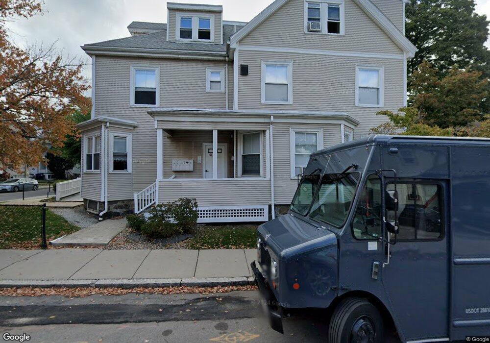
40 Ashford St Unit 2 Allston, MA 02134
Allston NeighborhoodEstimated Value: $624,882
6
Beds
2
Baths
--
Sq Ft
6,011
Sq Ft Lot
About This Home
This home is located at 40 Ashford St Unit 2, Allston, MA 02134 and is currently estimated at $624,882. 40 Ashford St Unit 2 is a home located in Suffolk County with nearby schools including Match Charter Public School, St Herman Of Alaska Christian School, and Boston University Academy.
Ownership History
Date
Name
Owned For
Owner Type
Purchase Details
Closed on
Dec 31, 1991
Sold by
Ashford Rt
Bought by
Ashford St Lp
Current Estimated Value
Home Financials for this Owner
Home Financials are based on the most recent Mortgage that was taken out on this home.
Original Mortgage
$10,116
Interest Rate
8.62%
Mortgage Type
Commercial
Create a Home Valuation Report for This Property
The Home Valuation Report is an in-depth analysis detailing your home's value as well as a comparison with similar homes in the area
Home Values in the Area
Average Home Value in this Area
Purchase History
| Date | Buyer | Sale Price | Title Company |
|---|---|---|---|
| Ashford St Lp | $144,500 | -- |
Source: Public Records
Mortgage History
| Date | Status | Borrower | Loan Amount |
|---|---|---|---|
| Open | Ashford St Lp | $175,000 | |
| Closed | Ashford St Lp | $394,780 | |
| Closed | Ashford St Lp | $10,116 | |
| Previous Owner | Ashford St Lp | $125,000 |
Source: Public Records
Tax History Compared to Growth
Tax History
| Year | Tax Paid | Tax Assessment Tax Assessment Total Assessment is a certain percentage of the fair market value that is determined by local assessors to be the total taxable value of land and additions on the property. | Land | Improvement |
|---|---|---|---|---|
| 2025 | $7,329 | $632,900 | $323,300 | $309,600 |
| 2024 | $6,899 | $632,900 | $323,300 | $309,600 |
| 2023 | $6,722 | $625,900 | $323,300 | $302,600 |
| 2022 | $6,655 | $611,700 | $323,300 | $288,400 |
| 2021 | $6,527 | $611,700 | $263,700 | $348,000 |
| 2020 | $6,460 | $611,700 | $263,700 | $348,000 |
| 2019 | $6,445 | $611,500 | $263,700 | $347,800 |
| 2018 | $6,298 | $601,000 | $251,700 | $349,300 |
| 2017 | $6,365 | $601,000 | $239,700 | $361,300 |
| 2016 | $6,078 | $552,500 | $221,800 | $330,700 |
| 2015 | $6,025 | $497,500 | $203,800 | $293,700 |
| 2014 | $6,189 | $492,000 | $179,800 | $312,200 |
Source: Public Records
Map
Nearby Homes
- 46 Pratt St
- 97 Chester St Unit 8
- 106 Chester St Unit 3
- 59 Brighton Ave Unit 1
- 57 Brighton Ave Unit B
- 57 Brighton Ave Unit C
- 1 Highgate St
- 4 Franklin St Unit 202
- 4 Franklin St Unit 401
- 4 Franklin St Unit 403
- 21 Park Vale Ave Unit 2
- 42 Hopedale St
- 69 Hopedale St
- 30 Glenville Ave Unit 1
- 53 Quint Ave
- 16 Royce Rd Unit 4
- 11 Abbottsford Rd
- 116 Thorndike St Unit 1
- 116 Thorndike St
- 116 Thorndike St Unit 2
- 40 Ashford St Unit 2
- 40 Ashford St Unit 1
- 40 Ashford St
- 42 Ashford St Unit 26
- 42 Ashford St
- 42 Ashford St
- 42 Ashford St
- 42 Ashford St
- 42 Ashford St Unit 1A
- 34-36 Ashford St
- 72 Pratt St
- 34 Ashford St Unit 36
- 36 Ashford St Unit 707
- 32 Ashford St
- 49 Pratt St
- 49 Pratt St
- 47 Pratt St
- 47 Pratt St
- 47 Pratt St Unit 1
- 45 Pratt St