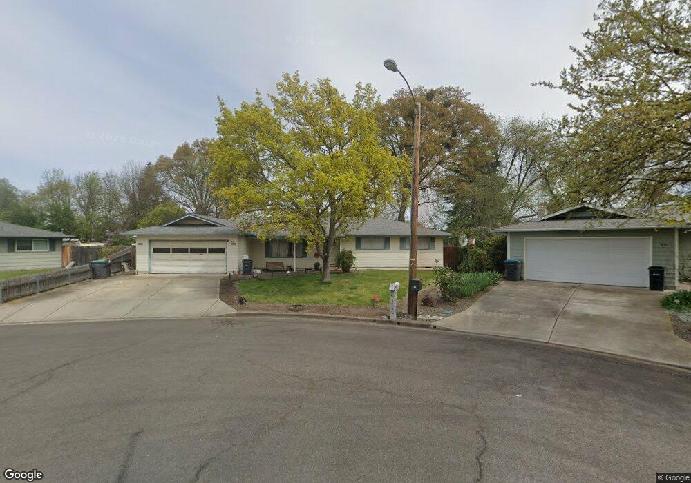
40 Attix Cir Central Point, OR 97502
Estimated Value: $390,000 - $414,000
4
Beds
2
Baths
1,733
Sq Ft
$232/Sq Ft
Est. Value
About This Home
This home is located at 40 Attix Cir, Central Point, OR 97502 and is currently estimated at $402,484, approximately $232 per square foot. 40 Attix Cir is a home located in Jackson County with nearby schools including Richardson Elementary School, Scenic Middle School, and Crater High School.
Ownership History
Date
Name
Owned For
Owner Type
Purchase Details
Closed on
Nov 17, 2016
Sold by
Waldron Harold Lester and Harold Waldron Trust
Bought by
Thurgood Heather K and Thurgood David A
Current Estimated Value
Home Financials for this Owner
Home Financials are based on the most recent Mortgage that was taken out on this home.
Original Mortgage
$183,353
Outstanding Balance
$150,360
Interest Rate
4.12%
Mortgage Type
FHA
Estimated Equity
$252,124
Purchase Details
Closed on
Mar 30, 2015
Sold by
Waldron Harold L
Bought by
Waldron Harold L and Harold Waldron Trust
Create a Home Valuation Report for This Property
The Home Valuation Report is an in-depth analysis detailing your home's value as well as a comparison with similar homes in the area
Home Values in the Area
Average Home Value in this Area
Purchase History
| Date | Buyer | Sale Price | Title Company |
|---|---|---|---|
| Thurgood Heather K | $214,700 | Ticor Title Company Of Or | |
| Waldron Harold L | -- | None Available |
Source: Public Records
Mortgage History
| Date | Status | Borrower | Loan Amount |
|---|---|---|---|
| Open | Thurgood Heather K | $183,353 |
Source: Public Records
Tax History Compared to Growth
Tax History
| Year | Tax Paid | Tax Assessment Tax Assessment Total Assessment is a certain percentage of the fair market value that is determined by local assessors to be the total taxable value of land and additions on the property. | Land | Improvement |
|---|---|---|---|---|
| 2025 | $3,419 | $205,610 | $76,180 | $129,430 |
| 2024 | $3,419 | $199,630 | $73,960 | $125,670 |
| 2023 | $3,309 | $193,820 | $71,810 | $122,010 |
| 2022 | $3,231 | $193,820 | $71,810 | $122,010 |
| 2021 | $3,139 | $188,180 | $69,730 | $118,450 |
| 2020 | $3,047 | $182,700 | $67,700 | $115,000 |
| 2019 | $2,972 | $172,220 | $63,820 | $108,400 |
| 2018 | $2,882 | $167,210 | $61,960 | $105,250 |
| 2017 | $2,809 | $167,210 | $61,960 | $105,250 |
| 2016 | $2,727 | $157,620 | $58,400 | $99,220 |
| 2015 | $2,613 | $157,620 | $58,400 | $99,220 |
| 2014 | $2,547 | $148,580 | $55,050 | $93,530 |
Source: Public Records
Map
Nearby Homes
- 420 Mayberry Ln
- 25 Donna Way
- 429 Mayberry Ln
- 570 Bachand Cir
- 21 Hickory Ln
- 407 Silver Creek Dr
- 3642 Oak Pine Way
- 619 Palo Verde Way
- 349 W Pine St
- 465 Creekside Cir
- 487 Creekside Cir
- 626 Griffin Oaks Dr
- 659 Jackson Creek Dr
- 3506 New Ray Rd
- 1134 Steamboat Dr
- 1135 Shake Dr
- 871 Holley Way
- 3364 Snowy Butte Ln
- 895 Holley Way
- 3307 Freeland Rd