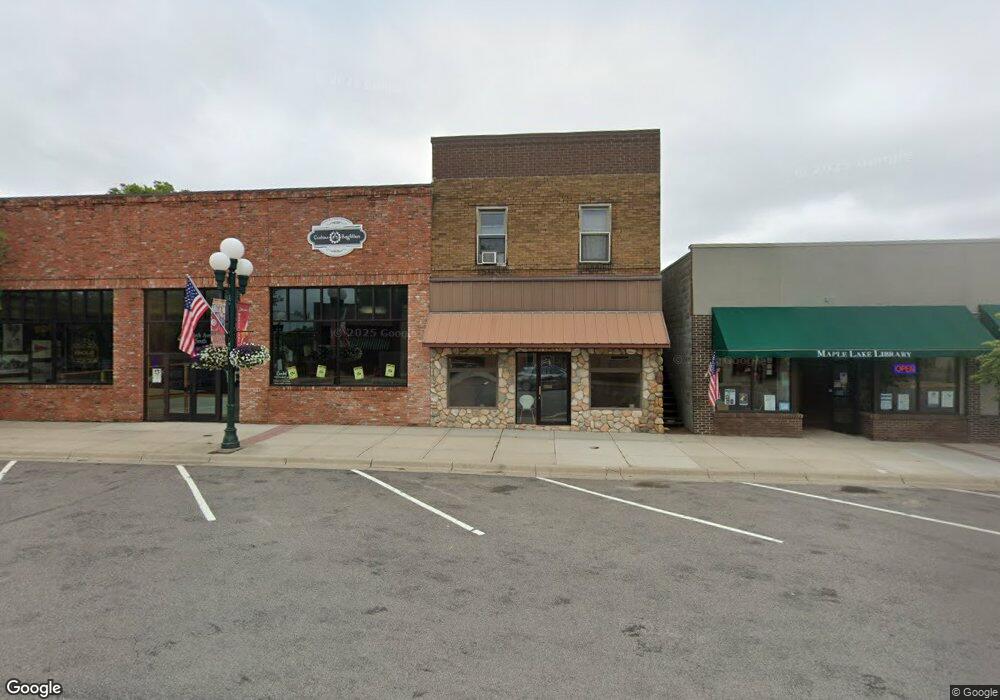
40 Birch Ave S Maple Lake, MN 55358
Estimated Value: $217,010 - $257,000
--
Bed
--
Bath
--
Sq Ft
3,746
Sq Ft Lot
About This Home
This home is located at 40 Birch Ave S, Maple Lake, MN 55358 and is currently estimated at $237,005. 40 Birch Ave S is a home located in Wright County with nearby schools including Maple Lake Elementary School, Maple Lake High School, and St. Timothy's Parish School.
Ownership History
Date
Name
Owned For
Owner Type
Purchase Details
Closed on
Jul 2, 1999
Sold by
Laplant Thomas J and Laplant Vicki L
Bought by
L & S Landscaping Inc
Current Estimated Value
Create a Home Valuation Report for This Property
The Home Valuation Report is an in-depth analysis detailing your home's value as well as a comparison with similar homes in the area
Home Values in the Area
Average Home Value in this Area
Purchase History
| Date | Buyer | Sale Price | Title Company |
|---|---|---|---|
| L & S Landscaping Inc | $70,000 | -- |
Source: Public Records
Tax History Compared to Growth
Tax History
| Year | Tax Paid | Tax Assessment Tax Assessment Total Assessment is a certain percentage of the fair market value that is determined by local assessors to be the total taxable value of land and additions on the property. | Land | Improvement |
|---|---|---|---|---|
| 2025 | $2,660 | $188,400 | $30,000 | $158,400 |
| 2024 | $2,810 | $152,400 | $30,000 | $122,400 |
| 2023 | $2,648 | $142,400 | $25,000 | $117,400 |
| 2022 | $2,676 | $124,100 | $17,800 | $106,300 |
| 2021 | $2,734 | $112,400 | $16,400 | $96,000 |
| 2020 | $2,832 | $110,900 | $16,400 | $94,500 |
| 2019 | $2,870 | $59,600 | $0 | $0 |
| 2018 | $2,878 | $49,200 | $0 | $0 |
| 2017 | $3,138 | $106,800 | $0 | $0 |
| 2016 | $3,156 | $0 | $0 | $0 |
| 2015 | $3,176 | $0 | $0 | $0 |
| 2014 | -- | $0 | $0 | $0 |
Source: Public Records
Map
Nearby Homes
- XXXX Highway 55
- 520 Ramey Rd
- 210 6th St NW
- 451 Marian Dr
- TBD 5th St S
- 640 Robert Ave N
- 713 Danielson Ct
- 329 Geneva Ln
- 412 5th St NW
- 416 5th St NW
- 921 Cedar Ave N
- 1000 Chestnut St
- 1030 Aspen Cir
- 4642 Gulden Ave NW
- XX 63rd St NW
- 7491 County Road 37 NW
- 6455 Illsley Ave NW
- 8129 Griffith Ave NW
- 2532 62nd St NW
- 4963 Crofoot Ave NW
