40 Brigham Woods Concord, MA 01742
Estimated Value: $1,467,000 - $1,974,000
4
Beds
5
Baths
2,465
Sq Ft
$669/Sq Ft
Est. Value
About This Home
This home is located at 40 Brigham Woods, Concord, MA 01742 and is currently estimated at $1,649,731, approximately $669 per square foot. 40 Brigham Woods is a home located in Middlesex County with nearby schools including Willard School, Concord Middle School, and Concord Carlisle High School.
Ownership History
Date
Name
Owned For
Owner Type
Purchase Details
Closed on
Jul 31, 2019
Sold by
Lovdal Michael L and Lovdal Jean M
Bought by
Lovdal Michael L
Current Estimated Value
Purchase Details
Closed on
Jul 1, 1978
Bought by
Lovdal Michael L and Lovdal Jean M
Create a Home Valuation Report for This Property
The Home Valuation Report is an in-depth analysis detailing your home's value as well as a comparison with similar homes in the area
Home Values in the Area
Average Home Value in this Area
Purchase History
| Date | Buyer | Sale Price | Title Company |
|---|---|---|---|
| Lovdal Michael L | -- | -- | |
| Lovdal Michael L | $32,300 | -- |
Source: Public Records
Tax History
| Year | Tax Paid | Tax Assessment Tax Assessment Total Assessment is a certain percentage of the fair market value that is determined by local assessors to be the total taxable value of land and additions on the property. | Land | Improvement |
|---|---|---|---|---|
| 2025 | $186 | $1,403,000 | $604,600 | $798,400 |
| 2024 | $18,012 | $1,371,800 | $604,600 | $767,200 |
| 2023 | $16,843 | $1,299,600 | $551,900 | $747,700 |
| 2022 | $15,474 | $1,048,400 | $398,300 | $650,100 |
| 2021 | $15,123 | $1,027,400 | $434,500 | $592,900 |
| 2020 | $15,279 | $1,073,700 | $434,500 | $639,200 |
| 2019 | $13,909 | $980,200 | $404,800 | $575,400 |
| 2018 | $13,623 | $953,300 | $397,800 | $555,500 |
| 2017 | $13,652 | $970,300 | $378,900 | $591,400 |
| 2016 | $13,520 | $971,300 | $421,600 | $549,700 |
| 2015 | $12,874 | $900,900 | $390,700 | $510,200 |
Source: Public Records
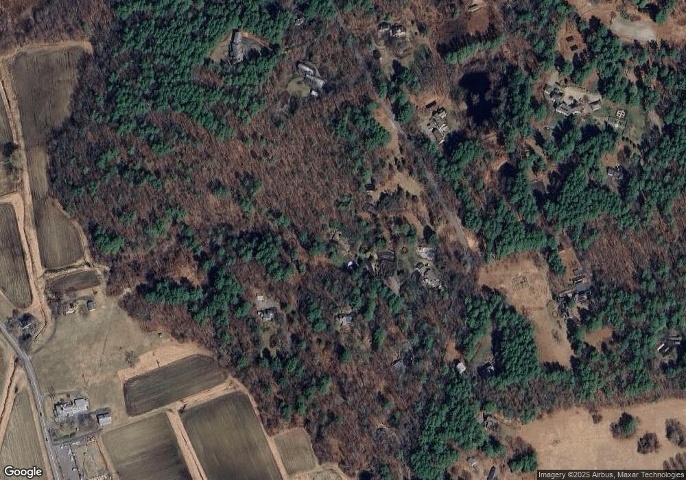
Map
Nearby Homes
- 29 King Ln
- 850 Old Road to 9 Acre Corner
- 32 Bolton St
- 56 Rookery Ln Unit 4
- 117 Cold Brook Dr Unit 7
- 40 Rookery Ln Unit 5
- 72 Rookery Ln Unit 3
- 108 Hawks Perch Unit 108
- 141 Chestnut Cir Unit 141
- 401 Emery Ln Unit 304
- 367 Powder Mill Rd
- 56 Seymour St
- 89 Mattison Dr
- 16 Hampshire Rd
- 497 Old Road to 9 Acre Corner
- 25 Fairhaven Rd
- 1B Quaboag Valley Co-Op St
- Lot 5 Sailaway Ln
- Lot 4 Sailaway Ln
- 2 Betts Way
- 330 Garfield Rd
- 31 Brigham Woods
- 28 Brigham Woods
- 454 Garfield Rd
- 11 Brigham Woods
- 323 Garfield Rd
- 284 Garfield Rd
- 425 Garfield Rd
- 460 Garfield Rd
- 385 Garfield Rd
- 385 Garfield Rd Unit 1
- 385 Garfield Rd Unit 385
- 262 Garfield Rd
- 279 Garfield Rd
- 1571 Sudbury Rd
- 1571 Sudbury Rd
- 252 Garfield Rd
- 441 Garfield Rd
- 389 Garfield Rd
- 387 Garfield Rd Unit 387
Your Personal Tour Guide
Ask me questions while you tour the home.