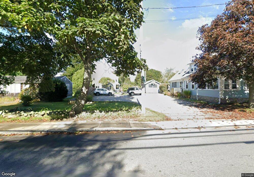
40 Cherry St Gloucester, MA 01930
Estimated Value: $688,000 - $847,000
3
Beds
2
Baths
1,822
Sq Ft
$424/Sq Ft
Est. Value
About This Home
This home is located at 40 Cherry St, Gloucester, MA 01930 and is currently estimated at $772,696, approximately $424 per square foot. 40 Cherry St is a home located in Essex County with nearby schools including Beeman Memorial, Ralph B O'maley Middle School, and Gloucester High School.
Ownership History
Date
Name
Owned For
Owner Type
Purchase Details
Closed on
Jun 11, 2025
Sold by
Horne Beth M and Horne Michael R
Bought by
40 Cherry Street Rt 2025 and Horne
Current Estimated Value
Purchase Details
Closed on
Feb 1, 1999
Sold by
Davis Maria and Davis Christopher A
Bought by
Horne Michael R and Horne Beth M
Purchase Details
Closed on
Jul 13, 1987
Sold by
Bragg James G
Bought by
Benson Kirk W
Create a Home Valuation Report for This Property
The Home Valuation Report is an in-depth analysis detailing your home's value as well as a comparison with similar homes in the area
Purchase History
| Date | Buyer | Sale Price | Title Company |
|---|---|---|---|
| 40 Cherry Street Rt 2025 | -- | None Available | |
| 40 Cherry Street Rt 2025 | -- | None Available | |
| 40 Cherry Street Rt 2025 | -- | None Available | |
| Horne Michael R | $195,000 | -- | |
| Horne Michael R | $195,000 | -- | |
| Benson Kirk W | $150,000 | -- |
Source: Public Records
Mortgage History
| Date | Status | Borrower | Loan Amount |
|---|---|---|---|
| Previous Owner | Benson Kirk W | $130,000 | |
| Previous Owner | Benson Kirk W | $160,000 |
Source: Public Records
Tax History
| Year | Tax Paid | Tax Assessment Tax Assessment Total Assessment is a certain percentage of the fair market value that is determined by local assessors to be the total taxable value of land and additions on the property. | Land | Improvement |
|---|---|---|---|---|
| 2025 | $6,613 | $680,300 | $186,200 | $494,100 |
| 2024 | $6,533 | $671,400 | $177,300 | $494,100 |
| 2023 | $6,240 | $589,200 | $158,300 | $430,900 |
| 2022 | $6,086 | $518,800 | $137,700 | $381,100 |
| 2021 | $5,867 | $471,600 | $125,200 | $346,400 |
| 2020 | $5,814 | $471,500 | $125,200 | $346,300 |
| 2019 | $5,507 | $434,000 | $125,200 | $308,800 |
| 2018 | $5,278 | $408,200 | $125,200 | $283,000 |
| 2017 | $5,148 | $390,300 | $119,200 | $271,100 |
| 2016 | $4,995 | $367,000 | $124,400 | $242,600 |
| 2015 | $4,750 | $348,000 | $124,400 | $223,600 |
Source: Public Records
Map
Nearby Homes
- 31 Echo Ave
- 13 Mystic Ave
- 3 Deacon Farm Ln
- 8 Mystic Ave
- 6 Monroe Ct
- 98 Maplewood Ave
- 9 Cleveland Place
- 12 Arthur St
- 13 Honeysuckle Rd
- 40 Sargent St
- 19 Trask St Unit 2
- 33 Maplewood Ave Unit 310
- 50 Warner St
- 113 Pleasant St
- 15 Harvard St
- 20 Beacon St
- 20 Beacon St Unit 2
- 20 Beacon St Unit 1
- 15 Mount Vernon St
- 2 Breezy Point Rd
Your Personal Tour Guide
Ask me questions while you tour the home.