40 Cork Cir Millville, MA 01529
Estimated Value: $571,000 - $704,000
4
Beds
3
Baths
2,160
Sq Ft
$292/Sq Ft
Est. Value
About This Home
This home is located at 40 Cork Cir, Millville, MA 01529 and is currently estimated at $630,389, approximately $291 per square foot. 40 Cork Cir is a home located in Worcester County with nearby schools including Blackstone-Millville Regional High School.
Ownership History
Date
Name
Owned For
Owner Type
Purchase Details
Closed on
Apr 30, 2003
Sold by
Taylor & Armstrong Rt and Taylor Bruce A
Bought by
Pennie Robert A and Pennie Deborah L
Current Estimated Value
Home Financials for this Owner
Home Financials are based on the most recent Mortgage that was taken out on this home.
Original Mortgage
$199,000
Interest Rate
5.82%
Mortgage Type
Purchase Money Mortgage
Create a Home Valuation Report for This Property
The Home Valuation Report is an in-depth analysis detailing your home's value as well as a comparison with similar homes in the area
Home Values in the Area
Average Home Value in this Area
Purchase History
| Date | Buyer | Sale Price | Title Company |
|---|---|---|---|
| Pennie Robert A | $318,500 | -- |
Source: Public Records
Mortgage History
| Date | Status | Borrower | Loan Amount |
|---|---|---|---|
| Open | Pennie Robert A | $241,000 | |
| Closed | Pennie Robert A | $199,000 |
Source: Public Records
Tax History Compared to Growth
Tax History
| Year | Tax Paid | Tax Assessment Tax Assessment Total Assessment is a certain percentage of the fair market value that is determined by local assessors to be the total taxable value of land and additions on the property. | Land | Improvement |
|---|---|---|---|---|
| 2025 | $5,651 | $428,400 | $115,300 | $313,100 |
| 2024 | $6,763 | $511,600 | $91,300 | $420,300 |
| 2023 | $6,627 | $477,100 | $91,300 | $385,800 |
| 2022 | $6,473 | $428,400 | $115,300 | $313,100 |
| 2021 | $6,214 | $390,100 | $115,300 | $274,800 |
| 2020 | $6,070 | $377,700 | $124,300 | $253,400 |
| 2019 | $5,588 | $345,800 | $132,700 | $213,100 |
| 2018 | $5,962 | $360,000 | $133,600 | $226,400 |
| 2017 | $5,624 | $349,100 | $133,600 | $215,500 |
| 2016 | $5,763 | $340,800 | $133,600 | $207,200 |
| 2015 | $5,550 | $321,900 | $130,000 | $191,900 |
| 2014 | $5,271 | $306,800 | $125,200 | $181,600 |
Source: Public Records
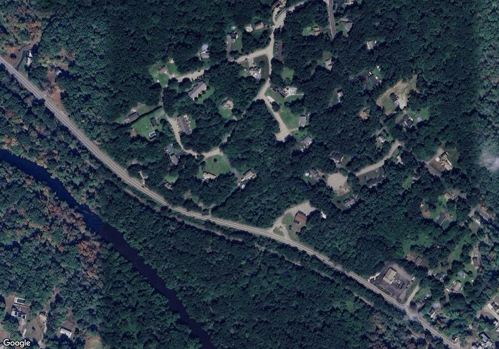
Map
Nearby Homes
- 77 Chestnut Hill Rd
- 90 Chestnut Hill Rd
- 385 River Rd
- 23 Chesley St
- 24 Lincoln St
- 34 Lincoln St
- 16 Preston St
- 179 Thayer St
- 57 Kempton Rd
- 119 Albee Rd
- 9 Balm of Life Spring Rd
- 133 Providence St Unit D
- 41 Thayer St
- 160 Thayer St
- 111 Cider Mill Rd
- 127 Old Millville Rd
- 0 Buxton St Unit 1386233
- 69 Adj Hill St
- 70 Hill St
- 12 Hickory Rd
- 36 Cork Cir
- 9 Lot 9 Cork Cir
- 316 Main St
- 39 Cork Cir
- 10 Theresa Dr
- 44 Bantry Rd
- 3 Lot 3 Cork Cir
- 32 Cork Cir
- 290 Lot1 Main St
- 290 Main St
- 47 Bantry Rd
- 17 Cork Cir Unit F
- 17 Cork Cir Unit E
- 17 Cork Cir Unit D
- 17 Cork Cir Unit C
- 17 Cork Cir Unit B
- 17 Cork Cir Unit A
- 17 Cork Cir Unit 17-D
- 17 Cork Cir Unit 17C
- 29 Cork Cir Unit F