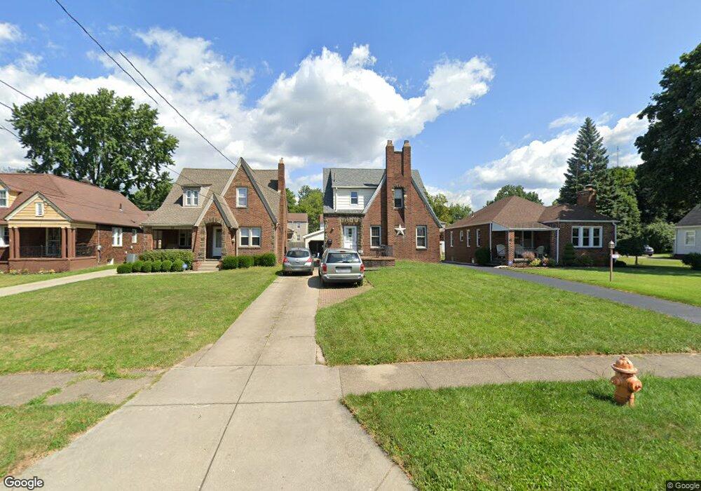
40 Erskine Ave Youngstown, OH 44512
Estimated Value: $139,379 - $159,000
3
Beds
2
Baths
1,651
Sq Ft
$89/Sq Ft
Est. Value
About This Home
This home is located at 40 Erskine Ave, Youngstown, OH 44512 and is currently estimated at $147,595, approximately $89 per square foot. 40 Erskine Ave is a home located in Mahoning County with nearby schools including Boardman Glenwood Junior High School, Boardman High School, and Horizon Science Academy - Youngstown.
Ownership History
Date
Name
Owned For
Owner Type
Purchase Details
Closed on
Apr 7, 2011
Sold by
Nyers Michael E and Nyers Brooke E
Bought by
Price Eric C and Villa Gina M
Current Estimated Value
Home Financials for this Owner
Home Financials are based on the most recent Mortgage that was taken out on this home.
Original Mortgage
$64,500
Interest Rate
12%
Mortgage Type
Seller Take Back
Purchase Details
Closed on
Jan 16, 2003
Sold by
Huffman Denise M
Bought by
Nyers Michael E
Home Financials for this Owner
Home Financials are based on the most recent Mortgage that was taken out on this home.
Original Mortgage
$66,300
Interest Rate
6.13%
Purchase Details
Closed on
Apr 4, 1983
Bought by
Huffman Steven R and Huffman Denise
Create a Home Valuation Report for This Property
The Home Valuation Report is an in-depth analysis detailing your home's value as well as a comparison with similar homes in the area
Home Values in the Area
Average Home Value in this Area
Purchase History
| Date | Buyer | Sale Price | Title Company |
|---|---|---|---|
| Price Eric C | $67,000 | Attorney | |
| Nyers Michael E | $69,800 | -- | |
| Huffman Steven R | -- | -- |
Source: Public Records
Mortgage History
| Date | Status | Borrower | Loan Amount |
|---|---|---|---|
| Closed | Price Eric C | $64,500 | |
| Closed | Nyers Michael E | $66,300 |
Source: Public Records
Tax History Compared to Growth
Tax History
| Year | Tax Paid | Tax Assessment Tax Assessment Total Assessment is a certain percentage of the fair market value that is determined by local assessors to be the total taxable value of land and additions on the property. | Land | Improvement |
|---|---|---|---|---|
| 2024 | $1,998 | $39,180 | $3,020 | $36,160 |
| 2023 | $1,972 | $39,180 | $3,020 | $36,160 |
| 2022 | $1,565 | $23,680 | $2,990 | $20,690 |
| 2021 | $1,566 | $23,680 | $2,990 | $20,690 |
| 2020 | $1,574 | $23,680 | $2,990 | $20,690 |
| 2019 | $1,613 | $20,960 | $2,650 | $18,310 |
| 2018 | $1,367 | $20,960 | $2,650 | $18,310 |
| 2017 | $1,364 | $20,960 | $2,650 | $18,310 |
| 2016 | $1,400 | $21,310 | $2,870 | $18,440 |
| 2015 | $1,523 | $21,310 | $2,870 | $18,440 |
| 2014 | $1,377 | $21,310 | $2,870 | $18,440 |
| 2013 | $1,323 | $21,310 | $2,870 | $18,440 |
Source: Public Records
Map
Nearby Homes
- 81 Melrose Ave
- 127 Melrose Ave
- 44 Gertrude Ave
- 149 Argyle Ave
- 167 Afton Ave
- 28 Terrace Dr
- 175 Homestead Dr
- 169 Wolcott Dr
- 83 Beechwood Dr
- 94 Beechwood Dr
- 148 Clifton Dr
- 5020 Friendship Ave
- 235 Wolcott Dr
- 272 Shields Rd
- 60 Shadyside Dr
- 94 Shadyside Dr
- 4508 Southern Blvd
- 4504 Southern Blvd
- 197 Mathews Rd Unit B
- 0 Mathews Rd Unit 5038026