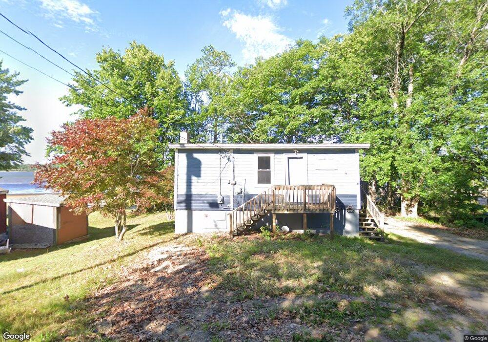
40 F Sanborn Rd Sabattus, ME 04280
Estimated Value: $222,000 - $349,000
1
Bed
1
Bath
728
Sq Ft
$372/Sq Ft
Est. Value
About This Home
This home is located at 40 F Sanborn Rd, Sabattus, ME 04280 and is currently estimated at $270,494, approximately $371 per square foot. 40 F Sanborn Rd is a home with nearby schools including Sabattus Primary School, Libby-Tozier School, and Carrie Ricker School.
Ownership History
Date
Name
Owned For
Owner Type
Purchase Details
Closed on
Feb 18, 2022
Sold by
Pare Michael R
Bought by
Danielle J Pare Ret and Pare
Current Estimated Value
Home Financials for this Owner
Home Financials are based on the most recent Mortgage that was taken out on this home.
Original Mortgage
$131,000
Outstanding Balance
$121,179
Interest Rate
3.55%
Mortgage Type
Purchase Money Mortgage
Estimated Equity
$149,315
Create a Home Valuation Report for This Property
The Home Valuation Report is an in-depth analysis detailing your home's value as well as a comparison with similar homes in the area
Home Values in the Area
Average Home Value in this Area
Purchase History
| Date | Buyer | Sale Price | Title Company |
|---|---|---|---|
| Danielle J Pare Ret | $163,750 | None Available |
Source: Public Records
Mortgage History
| Date | Status | Borrower | Loan Amount |
|---|---|---|---|
| Open | Danielle J Pare Ret | $131,000 |
Source: Public Records
Tax History Compared to Growth
Tax History
| Year | Tax Paid | Tax Assessment Tax Assessment Total Assessment is a certain percentage of the fair market value that is determined by local assessors to be the total taxable value of land and additions on the property. | Land | Improvement |
|---|---|---|---|---|
| 2024 | $3,490 | $182,700 | $125,500 | $57,200 |
| 2023 | $3,334 | $182,700 | $125,500 | $57,200 |
| 2022 | $3,042 | $182,700 | $125,500 | $57,200 |
| 2021 | $2,868 | $182,700 | $125,500 | $57,200 |
| 2020 | $3,600 | $202,800 | $150,500 | $52,300 |
| 2019 | $3,600 | $202,800 | $150,500 | $52,300 |
| 2018 | $3,600 | $202,800 | $150,500 | $52,300 |
| 2017 | $3,600 | $202,800 | $150,500 | $52,300 |
| 2016 | $3,803 | $202,800 | $150,500 | $52,300 |
| 2014 | $3,610 | $202,800 | $150,500 | $52,300 |
| 2013 | $3,316 | $202,800 | $150,500 | $52,300 |
Source: Public Records
Map
Nearby Homes
- 63 Riley Rd
- 49 Hemlock St
- 88 Barnard Cove Rd
- 147 Greene St
- 148 School Rd
- 83 Phelan St
- 22 Woodside Dr
- 18 Terrace View
- 71 5th Ave Unit 15
- 41 Hidden Pond Rd
- 18 Waters Edge Dr
- 325 Middle Rd
- 65 Autumn Ridge
- 26 Fox Run Dr
- 6 Pond Ridge Dr
- 1 Fox Run Dr
- R01L73 & M8l32 Marsh Rd
- 253 Bull Run Rd
- 466 Middle Rd
- 4 Lochview Dr
- 43 F Sanborn Rd
- 32 F Sanborn Rd
- 46 F Sanborn Rd
- 48 F Sanborn Rd
- 73 F Sanborn Rd
- 50 F Sanborn Rd
- 92 F Sanborn Rd
- 30 F Sanborn Rd
- 29 F Sanborn Rd
- 52 F Sanborn Rd
- 28 F Sanborn Rd
- 26 F Sanborn Rd
- 96 F Sanborn Rd
- 72 F Sanborn Rd
- 80 F Sanborn Rd
- 98 F Sanborn Rd
- 1 Cottage Loop
- 49 F Sanborn Rd
- 12 F Sanborn Rd
- 82 F Sanborn Rd