40 Fire Road 3a Lancaster, MA 01523
Estimated Value: $825,000 - $856,420
3
Beds
3
Baths
1,696
Sq Ft
$494/Sq Ft
Est. Value
About This Home
This home is located at 40 Fire Road 3a, Lancaster, MA 01523 and is currently estimated at $837,355, approximately $493 per square foot. 40 Fire Road 3a is a home located in Worcester County with nearby schools including Mary Rowlandson Elementary School, Luther Burbank Middle School, and Nashoba Regional High School.
Ownership History
Date
Name
Owned For
Owner Type
Purchase Details
Closed on
Dec 9, 2024
Sold by
Rotti Dale E and Rotti Raymond J
Bought by
Rotti Nt and Rotti
Current Estimated Value
Purchase Details
Closed on
Feb 23, 2009
Sold by
1St Spec Pond T and Rotti
Bought by
Rotti Dale E and Rotti Raymond J
Home Financials for this Owner
Home Financials are based on the most recent Mortgage that was taken out on this home.
Original Mortgage
$275,000
Interest Rate
5.06%
Mortgage Type
Purchase Money Mortgage
Purchase Details
Closed on
May 27, 2005
Sold by
Southcotte David G
Bought by
First Spec Pond T and Rotti Dale E
Create a Home Valuation Report for This Property
The Home Valuation Report is an in-depth analysis detailing your home's value as well as a comparison with similar homes in the area
Home Values in the Area
Average Home Value in this Area
Purchase History
| Date | Buyer | Sale Price | Title Company |
|---|---|---|---|
| Rotti Nt | -- | None Available | |
| Rotti Nt | -- | None Available | |
| Rotti Dale E | -- | -- | |
| Rotti Dale E | -- | -- | |
| First Spec Pond T | -- | -- | |
| First Spec Pond T | -- | -- | |
| Rotti Dale E | -- | -- | |
| First Spec Pond T | -- | -- |
Source: Public Records
Mortgage History
| Date | Status | Borrower | Loan Amount |
|---|---|---|---|
| Previous Owner | Rotti Dale E | $275,000 |
Source: Public Records
Tax History Compared to Growth
Tax History
| Year | Tax Paid | Tax Assessment Tax Assessment Total Assessment is a certain percentage of the fair market value that is determined by local assessors to be the total taxable value of land and additions on the property. | Land | Improvement |
|---|---|---|---|---|
| 2025 | $12,762 | $789,700 | $281,100 | $508,600 |
| 2024 | $12,809 | $733,600 | $251,100 | $482,500 |
| 2023 | $0 | $701,100 | $221,100 | $480,000 |
| 2022 | $11,635 | $598,200 | $210,000 | $388,200 |
| 2021 | $11,297 | $565,400 | $210,000 | $355,400 |
| 2020 | $11,964 | $602,700 | $210,000 | $392,700 |
| 2019 | $11,028 | $558,400 | $210,000 | $348,400 |
| 2018 | $10,767 | $538,900 | $210,000 | $328,900 |
| 2016 | $9,097 | $465,300 | $191,000 | $274,300 |
| 2015 | $8,686 | $463,000 | $191,000 | $272,000 |
| 2014 | $8,141 | $430,500 | $191,000 | $239,500 |
Source: Public Records
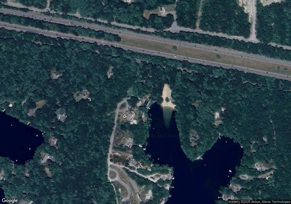
Map
Nearby Homes
- 7 Lawson Ave
- 25 Fuller Ave
- 2038 Lunenburg Rd
- 95 Old Union Turnpike
- 6 Turner Ln
- 35 Mcgovern Blvd
- 1497 Lunenburg Rd
- 0 Windsor Rd
- 217 White Pond Rd
- 50 Sky Ln
- 53 Bridlecross Rd
- 2 Maple St
- 2038 Laurel Hill Ln Unit LOT 18
- 2038-1 Laurel Hill Ln
- 19 Rheault Cir
- 802 Reservoir Rd
- 3 Mill St
- 4 Davis St
- 12 Easter Brook Rd
- 303 Ponakin Rd
- 132 Fire Road 3a
- 43 Cleverly Cove Rd
- Unit 4 Deershorn Unit 4
- 594 Old Union Turnpike
- 57 Fire Road 3a
- 1 Fire Road 5
- 22 Hunter Ln
- 220 Fire Road 3
- 71 Cleverly Cove Rd
- 3 Fire Road 2
- 4 Fort Pont Inn Rd
- 6 Fort Pont Inn Rd
- 1 Fort Pond Inn Rd Unit 6
- 40 Fire Road 6
- 5 Fort Pont Inn Rd
- 300 Fort Pond
- 204 Cleverly Cove Rd
- 206 Fire Road 3
- 16 Fort Pond Inn Rd
- 204 Fire Road 3