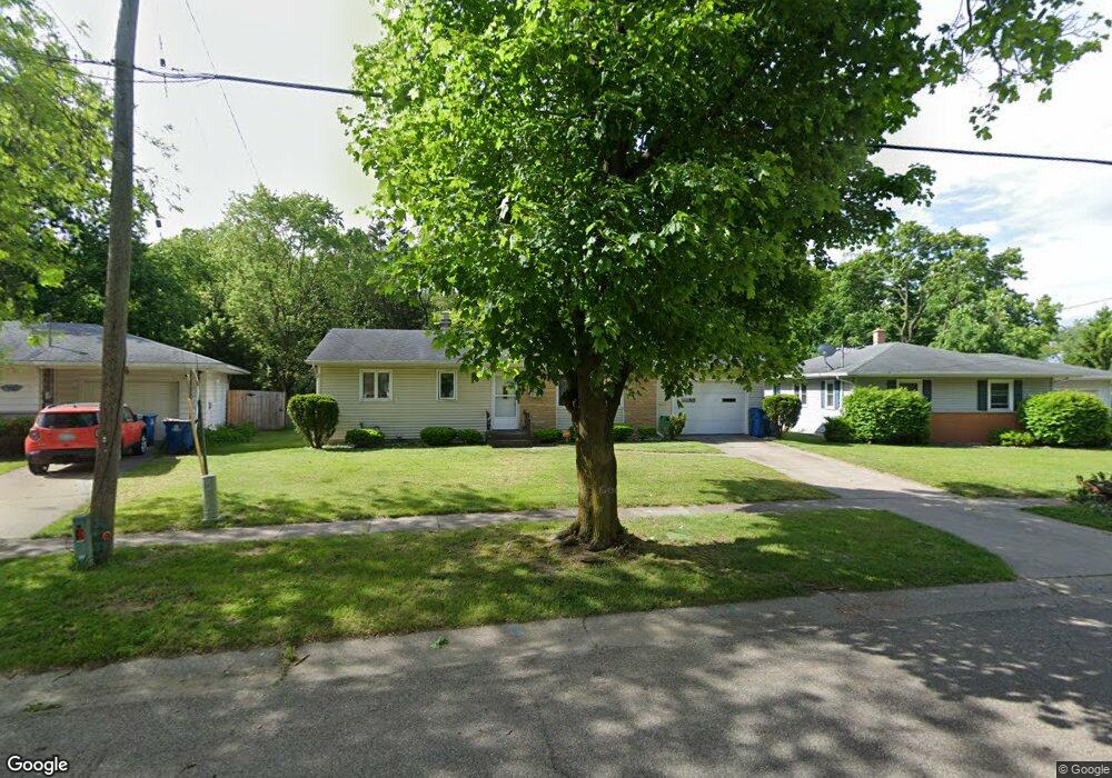
40 Heather Ridge Rd Battle Creek, MI 49017
Northeast Battle Creek NeighborhoodEstimated Value: $169,000 - $182,000
2
Beds
2
Baths
1,600
Sq Ft
$109/Sq Ft
Est. Value
About This Home
This home is located at 40 Heather Ridge Rd, Battle Creek, MI 49017 and is currently estimated at $174,426, approximately $109 per square foot. 40 Heather Ridge Rd is a home located in Calhoun County with nearby schools including Verona Elementary School, Northwestern Middle School, and Battle Creek Central High School.
Ownership History
Date
Name
Owned For
Owner Type
Purchase Details
Closed on
Jul 29, 2005
Sold by
Davison Patricia and Comerica Bank
Bought by
Eanes Anika Lavette
Current Estimated Value
Home Financials for this Owner
Home Financials are based on the most recent Mortgage that was taken out on this home.
Original Mortgage
$87,210
Outstanding Balance
$52,779
Interest Rate
8.12%
Mortgage Type
Fannie Mae Freddie Mac
Estimated Equity
$121,647
Purchase Details
Closed on
Mar 18, 2003
Sold by
Phillips Harold A
Bought by
Phillips Trust Harold A
Create a Home Valuation Report for This Property
The Home Valuation Report is an in-depth analysis detailing your home's value as well as a comparison with similar homes in the area
Home Values in the Area
Average Home Value in this Area
Purchase History
| Date | Buyer | Sale Price | Title Company |
|---|---|---|---|
| Eanes Anika Lavette | $96,900 | Fatic | |
| Phillips Trust Harold A | -- | -- |
Source: Public Records
Mortgage History
| Date | Status | Borrower | Loan Amount |
|---|---|---|---|
| Open | Eanes Anika Lavette | $87,210 |
Source: Public Records
Tax History Compared to Growth
Tax History
| Year | Tax Paid | Tax Assessment Tax Assessment Total Assessment is a certain percentage of the fair market value that is determined by local assessors to be the total taxable value of land and additions on the property. | Land | Improvement |
|---|---|---|---|---|
| 2025 | -- | $63,300 | $0 | $0 |
| 2024 | $1,509 | $60,996 | $0 | $0 |
| 2023 | $1,724 | $50,679 | $0 | $0 |
| 2022 | $1,363 | $47,805 | $0 | $0 |
| 2021 | $1,627 | $45,444 | $0 | $0 |
| 2020 | $1,530 | $43,589 | $0 | $0 |
| 2019 | $1,524 | $41,083 | $0 | $0 |
| 2018 | $1,524 | $39,069 | $4,149 | $34,920 |
| 2017 | $1,477 | $36,255 | $0 | $0 |
| 2016 | $1,475 | $35,487 | $0 | $0 |
| 2015 | $1,445 | $32,143 | $3,930 | $28,213 |
| 2014 | $1,445 | $31,353 | $3,930 | $27,423 |
Source: Public Records
Map
Nearby Homes
- 561 Garrison Rd
- 52 Thorncroft Ave
- 0 Hopkins St
- 274 Central St
- 731 Roosevelt Ave E
- 276 Mckinley Ave N
- 21 Bradley St
- 31 Oxford St
- 110 Harriet Ln
- 0 Capital Ave NE
- 955 Capital Ave NE
- 292 Hunter St
- 261 Emmett St E
- 174 East Ave N
- 195 Union St N
- 21 Bryant St
- 495 Emmett St E
- 176 Union St N
- 208 Glendale Ave
- V/L Parkview Ave
- 36 Heather Ridge Rd
- 44 Heather Ridge Rd
- 32 Heather Ridge Rd
- 31 Heather Ridge Rd
- 28 Heather Ridge Rd
- 271 Bradley St
- 41 Heather Ridge Rd
- 24 Heather Ridge Rd
- 28 Mockingbird Ct
- 23 Mockingbird Ct
- 267 Bradley St
- 51 Heather Ridge Rd
- 27 Heather Ridge Rd
- 19 Mockingbird Ct
- 20 Heather Ridge Rd
- 24 Mockingbird Ct
- 263 Bradley St
- 23 Heather Ridge Rd
- 270 Bradley St
- 55 Heather Ridge Rd