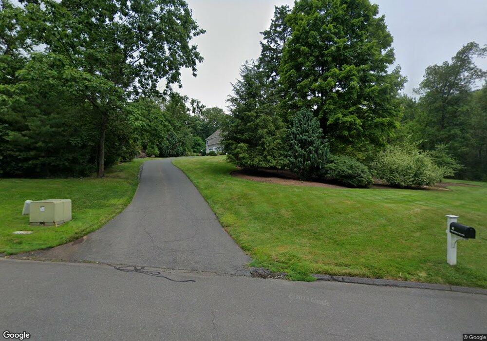
40 Highwood Simsbury, CT 06070
Estimated Value: $992,280 - $1,124,000
5
Beds
6
Baths
4,329
Sq Ft
$244/Sq Ft
Est. Value
About This Home
This home is located at 40 Highwood, Simsbury, CT 06070 and is currently estimated at $1,058,070, approximately $244 per square foot. 40 Highwood is a home located in Hartford County with nearby schools including Latimer Lane School, Henry James Memorial School, and Simsbury High School.
Ownership History
Date
Name
Owned For
Owner Type
Purchase Details
Closed on
May 17, 1999
Sold by
Wade Joyce M
Bought by
Leshem Eddie A and Leshem Joannine M
Current Estimated Value
Home Financials for this Owner
Home Financials are based on the most recent Mortgage that was taken out on this home.
Original Mortgage
$100,001
Interest Rate
6.88%
Create a Home Valuation Report for This Property
The Home Valuation Report is an in-depth analysis detailing your home's value as well as a comparison with similar homes in the area
Home Values in the Area
Average Home Value in this Area
Purchase History
| Date | Buyer | Sale Price | Title Company |
|---|---|---|---|
| Leshem Eddie A | $164,900 | -- |
Source: Public Records
Mortgage History
| Date | Status | Borrower | Loan Amount |
|---|---|---|---|
| Closed | Leshem Eddie A | $400,000 | |
| Closed | Leshem Eddie A | $100,001 | |
| Closed | Leshem Eddie A | $450,000 |
Source: Public Records
Tax History Compared to Growth
Tax History
| Year | Tax Paid | Tax Assessment Tax Assessment Total Assessment is a certain percentage of the fair market value that is determined by local assessors to be the total taxable value of land and additions on the property. | Land | Improvement |
|---|---|---|---|---|
| 2025 | $19,711 | $577,010 | $109,970 | $467,040 |
| 2024 | $19,220 | $577,010 | $109,970 | $467,040 |
| 2023 | $18,360 | $577,010 | $109,970 | $467,040 |
| 2022 | $18,852 | $488,010 | $116,970 | $371,040 |
| 2021 | $18,852 | $488,010 | $116,970 | $371,040 |
| 2020 | $18,100 | $488,010 | $116,970 | $371,040 |
| 2019 | $18,213 | $488,010 | $116,970 | $371,040 |
| 2018 | $18,344 | $488,010 | $116,970 | $371,040 |
| 2017 | $20,081 | $518,080 | $127,890 | $390,190 |
| 2016 | $19,231 | $518,080 | $127,890 | $390,190 |
| 2015 | $19,231 | $518,080 | $127,890 | $390,190 |
| 2014 | $19,241 | $518,080 | $127,890 | $390,190 |
Source: Public Records
Map
Nearby Homes
- 9 Cobtail Way
- 3 Cobtail Way
- 15 Pinnacle Mountain Rd
- 308 Hopmeadow St
- 545 Simsbury Rd
- 4 Stebbins Brook Ln
- 3 Stebbins Brook Ln
- 10 Butternut Dr
- 5 Butternut Dr
- 15 Sand Hill Rd
- 2 Pent Rd
- 8 Roberts Rd
- 24 Alice Dr Unit 24
- 119 Wadhams Rd
- 1 West St Unit 206
- 10 Foothills Way
- 30 Vista Way
- 48 Library Ln Unit 48
- 24 Hunting Ridge Dr
- 40 Firetown Rd Unit 39