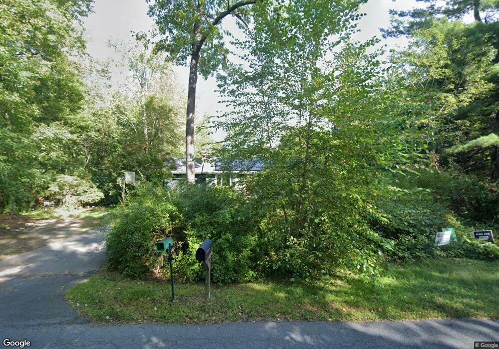
40 Hulst Rd Amherst, MA 01002
Estimated Value: $471,870 - $632,000
3
Beds
2
Baths
1,264
Sq Ft
$448/Sq Ft
Est. Value
About This Home
This home is located at 40 Hulst Rd, Amherst, MA 01002 and is currently estimated at $565,718, approximately $447 per square foot. 40 Hulst Rd is a home located in Hampshire County with nearby schools including Crocker Farm Elementary School, Amherst Regional Middle School, and Amherst Regional High School.
Ownership History
Date
Name
Owned For
Owner Type
Purchase Details
Closed on
Sep 29, 2004
Sold by
Gierman Karl and Gierman Helen C
Bought by
Noble Derek A and Zekos Erika H
Current Estimated Value
Purchase Details
Closed on
Jan 14, 2002
Sold by
Gierman Susan L
Bought by
Gierman Trust Helen C and Gierman Karl E
Purchase Details
Closed on
Aug 17, 1989
Sold by
Bolnik Shelley
Bought by
Gierman Helen C
Create a Home Valuation Report for This Property
The Home Valuation Report is an in-depth analysis detailing your home's value as well as a comparison with similar homes in the area
Home Values in the Area
Average Home Value in this Area
Purchase History
| Date | Buyer | Sale Price | Title Company |
|---|---|---|---|
| Noble Derek A | $310,000 | -- | |
| Gierman Trust Helen C | $153,900 | -- | |
| Gierman Helen C | $131,000 | -- |
Source: Public Records
Mortgage History
| Date | Status | Borrower | Loan Amount |
|---|---|---|---|
| Open | Gierman Helen C | $154,000 | |
| Closed | Gierman Helen C | $35,000 | |
| Closed | Gierman Helen C | $158,000 |
Source: Public Records
Tax History
| Year | Tax Paid | Tax Assessment Tax Assessment Total Assessment is a certain percentage of the fair market value that is determined by local assessors to be the total taxable value of land and additions on the property. | Land | Improvement |
|---|---|---|---|---|
| 2025 | $7,745 | $431,500 | $205,900 | $225,600 |
| 2024 | $7,565 | $408,700 | $194,800 | $213,900 |
| 2023 | $7,290 | $362,700 | $177,700 | $185,000 |
| 2022 | $6,983 | $328,300 | $161,200 | $167,100 |
| 2021 | $6,655 | $305,000 | $149,800 | $155,200 |
| 2020 | $6,503 | $305,000 | $149,800 | $155,200 |
| 2019 | $6,353 | $291,400 | $149,800 | $141,600 |
| 2018 | $6,160 | $291,400 | $149,800 | $141,600 |
| 2017 | $5,949 | $272,500 | $142,900 | $129,600 |
| 2016 | $5,782 | $272,500 | $142,900 | $129,600 |
| 2015 | $5,597 | $272,500 | $142,900 | $129,600 |
Source: Public Records
Map
Nearby Homes
- 664 Bay Rd
- Lots A-C Federal St
- 18 Country Ln
- 16 Hawthorn Rd
- 0 Federal St
- 23 Alyssum Dr
- Lot 1 Amherst Rd
- 100 Larkspur Dr
- 1114 S East St
- 130 Linden Ridge Rd
- 89 Potwine Ln
- 6 Eveningstar Dr
- 105 Pomeroy Ln
- 27 Summerfield Rd
- 53 Pine Grove Unit 53
- 67 Pine Grove Unit 67
- 13 Vista Terrace
- 1 Autumn Ln
- 19 Baldwin Ln
- 178 W Pomeroy Ln
- 36 Hulst Rd
- 43 Hulst Rd
- 49 Cat Aly Unit CLEM
- 49 Hulst Rd
- 34 Hulst Rd
- 73 Stagecoach Rd
- 65 Stagecoach Rd
- 55 Hulst Rd
- 59 Stagecoach Rd
- 81 Stagecoach Rd
- 32 Hulst Rd
- 53 Stagecoach Rd
- 61 Hulst Rd
- 70 Stagecoach Rd
- 76 Stagecoach Rd
- 30 Hulst Rd
- 82 Stagecoach Rd
- 58 Stagecoach Rd
- 88 Stagecoach Rd
- 47 Stagecoach Rd
Your Personal Tour Guide
Ask me questions while you tour the home.