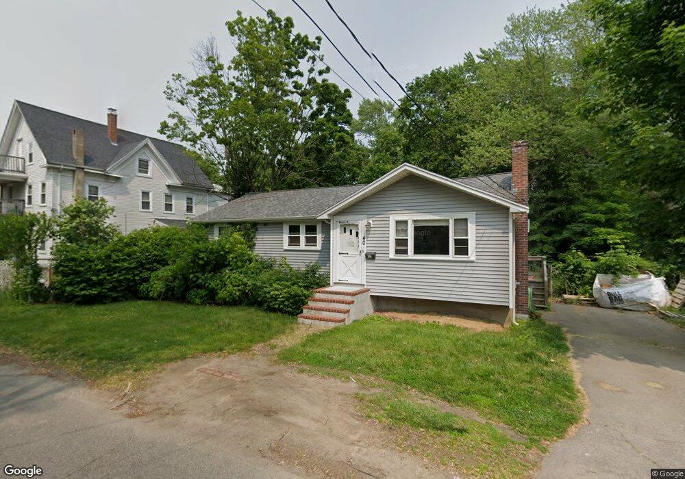
40 Jackson St Brockton, MA 02302
Campello NeighborhoodEstimated Value: $437,000 - $453,666
3
Beds
1
Bath
1,044
Sq Ft
$426/Sq Ft
Est. Value
About This Home
This home is located at 40 Jackson St, Brockton, MA 02302 and is currently estimated at $444,667, approximately $425 per square foot. 40 Jackson St is a home located in Plymouth County with nearby schools including Davis K-8 School, John F. Kennedy Elementary School, and South Middle School.
Ownership History
Date
Name
Owned For
Owner Type
Purchase Details
Closed on
Jun 18, 1993
Sold by
Favor Richard T
Bought by
Rix Timothy E and Rix Kellie A
Current Estimated Value
Purchase Details
Closed on
Sep 15, 1992
Sold by
Brown John W Est
Bought by
Favor Richard T
Create a Home Valuation Report for This Property
The Home Valuation Report is an in-depth analysis detailing your home's value as well as a comparison with similar homes in the area
Home Values in the Area
Average Home Value in this Area
Purchase History
| Date | Buyer | Sale Price | Title Company |
|---|---|---|---|
| Rix Timothy E | $77,000 | -- | |
| Favor Richard T | $55,000 | -- |
Source: Public Records
Mortgage History
| Date | Status | Borrower | Loan Amount |
|---|---|---|---|
| Open | Favor Richard T | $164,000 | |
| Closed | Favor Richard T | $115,000 | |
| Closed | Favor Richard T | $100,000 |
Source: Public Records
Tax History Compared to Growth
Tax History
| Year | Tax Paid | Tax Assessment Tax Assessment Total Assessment is a certain percentage of the fair market value that is determined by local assessors to be the total taxable value of land and additions on the property. | Land | Improvement |
|---|---|---|---|---|
| 2025 | $4,639 | $383,100 | $140,200 | $242,900 |
| 2024 | $4,451 | $370,300 | $140,200 | $230,100 |
| 2023 | $4,194 | $323,100 | $104,900 | $218,200 |
| 2022 | $4,000 | $286,300 | $95,400 | $190,900 |
| 2021 | $3,818 | $263,300 | $79,400 | $183,900 |
| 2020 | $3,809 | $251,400 | $74,200 | $177,200 |
| 2019 | $3,812 | $245,300 | $72,400 | $172,900 |
| 2018 | $3,284 | $204,500 | $72,400 | $132,100 |
| 2017 | $3,064 | $190,300 | $72,400 | $117,900 |
| 2016 | $3,083 | $177,600 | $70,200 | $107,400 |
| 2015 | $2,697 | $148,600 | $70,200 | $78,400 |
| 2014 | $2,709 | $149,400 | $70,200 | $79,200 |
Source: Public Records
Map
Nearby Homes
- 112 Hillside Ave
- 54 Ferris Ave
- 44 Baker St
- 163 S Leyden St
- 34 Carl Ave
- 223 Clinton St Unit 10
- 223 Clinton St Unit 3
- 28 Wallace St
- 70 Carlisle St
- 103 Clinton St
- 12 Paulin Ave
- 265 Summer St
- 65 Tremont St
- 229 Sinclair Rd
- 99 Grove St
- 221 Sinclair Rd
- 936 Warren Ave
- 977 Warren Ave
- 74 Oakland St
- 16 Yuba Cir
- 44 Jackson St
- 34 Jackson St
- 28 Jackson St
- 43 Jackson St
- 54 Jackson St
- 45 Jackson St
- 24 Jackson St
- 208 Perkins Ave
- 181 Concord St
- 27 Jackson St
- 214 Perkins Ave
- 169 Concord St
- 21 Sansom St Unit 1
- 171 Concord St
- 19 Sansom St Unit 2
- 194 Perkins Ave
- 20 Jackson St
- 218 Perkins Ave
- 188 Perkins Ave
- 188 Perkins Ave Unit 188 Perkins Ave