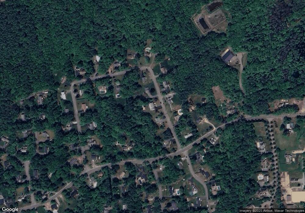
40 Laurie Ln Hanover, MA 02339
Estimated Value: $829,000 - $979,000
4
Beds
3
Baths
2,160
Sq Ft
$416/Sq Ft
Est. Value
About This Home
This home is located at 40 Laurie Ln, Hanover, MA 02339 and is currently estimated at $897,702, approximately $415 per square foot. 40 Laurie Ln is a home located in Plymouth County with nearby schools including Hanover High School, Cadence Academy Preschool - Hanover, and Cardinal Cushing Centers.
Ownership History
Date
Name
Owned For
Owner Type
Purchase Details
Closed on
Apr 18, 2008
Sold by
Nevins Daniel P and Nevins Roberta H
Bought by
Farrell Michael J and Farrell Elizabeth A
Current Estimated Value
Purchase Details
Closed on
Apr 16, 1993
Sold by
Mohns Douglas M and Mohns Sharona
Bought by
Nevins Daniel P and Nevins Roberta H
Purchase Details
Closed on
May 8, 1987
Sold by
Gemelli David J
Bought by
Mohns Douglas M
Create a Home Valuation Report for This Property
The Home Valuation Report is an in-depth analysis detailing your home's value as well as a comparison with similar homes in the area
Home Values in the Area
Average Home Value in this Area
Purchase History
| Date | Buyer | Sale Price | Title Company |
|---|---|---|---|
| Farrell Michael J | $470,000 | -- | |
| Farrell Michael J | $470,000 | -- | |
| Nevins Daniel P | $234,500 | -- | |
| Nevins Daniel P | $234,500 | -- | |
| Mohns Douglas M | $255,000 | -- |
Source: Public Records
Mortgage History
| Date | Status | Borrower | Loan Amount |
|---|---|---|---|
| Open | Mohns Douglas M | $400,000 | |
| Closed | Mohns Douglas M | $409,000 |
Source: Public Records
Tax History Compared to Growth
Tax History
| Year | Tax Paid | Tax Assessment Tax Assessment Total Assessment is a certain percentage of the fair market value that is determined by local assessors to be the total taxable value of land and additions on the property. | Land | Improvement |
|---|---|---|---|---|
| 2025 | $9,879 | $799,900 | $326,300 | $473,600 |
| 2024 | $9,683 | $754,100 | $326,300 | $427,800 |
| 2023 | $9,119 | $676,000 | $296,600 | $379,400 |
| 2022 | $8,854 | $580,600 | $247,100 | $333,500 |
| 2021 | $7,336 | $533,300 | $225,100 | $308,200 |
| 2020 | $5,727 | $519,700 | $225,100 | $294,600 |
| 2019 | $2,233 | $500,500 | $225,100 | $275,400 |
| 2018 | $2,222 | $473,300 | $225,100 | $248,200 |
| 2017 | $457 | $480,100 | $235,800 | $244,300 |
| 2016 | $7,639 | $453,100 | $214,300 | $238,800 |
| 2015 | $7,631 | $472,500 | $233,700 | $238,800 |
Source: Public Records
Map
Nearby Homes
- 180 Elm St
- 186 Elm St
- 114 Graham Hill Dr
- 14 Longwood Ln Unit 14
- 250 Center St
- 51 Cervelli Farm Dr
- 37 Dr
- 23 Cervelli Farm Dr
- 38 Cervelli Farm Dr
- 9 Cervelli Farm Dr
- 7 Farmside Dr
- 436 Center St
- 265 Silver St
- 28 Old Shipyard Ln
- 20 Meadow Brook Rd
- Lot 22 Adams Cir
- 553 Center St
- 1251 Broadway
- 41 Gail Rd
- 55 Shipyard Ln