40 Loon Point Rd Meredith, NH 03253
Estimated Value: $596,000 - $804,000
4
Beds
1
Bath
1,324
Sq Ft
$508/Sq Ft
Est. Value
About This Home
This home is located at 40 Loon Point Rd, Meredith, NH 03253 and is currently estimated at $672,326, approximately $507 per square foot. 40 Loon Point Rd is a home with nearby schools including Inter-Lakes Elementary School, Lakeland School, and Laconia Christian Academy.
Ownership History
Date
Name
Owned For
Owner Type
Purchase Details
Closed on
Mar 21, 2000
Sold by
Lloyd Michael and Lloyd Katy
Bought by
Goodwin Mark and Goodwin Ann
Current Estimated Value
Home Financials for this Owner
Home Financials are based on the most recent Mortgage that was taken out on this home.
Original Mortgage
$180,500
Outstanding Balance
$60,953
Interest Rate
8.24%
Mortgage Type
Purchase Money Mortgage
Estimated Equity
$611,373
Create a Home Valuation Report for This Property
The Home Valuation Report is an in-depth analysis detailing your home's value as well as a comparison with similar homes in the area
Home Values in the Area
Average Home Value in this Area
Purchase History
| Date | Buyer | Sale Price | Title Company |
|---|---|---|---|
| Goodwin Mark | $190,000 | -- |
Source: Public Records
Mortgage History
| Date | Status | Borrower | Loan Amount |
|---|---|---|---|
| Open | Goodwin Mark | $180,500 |
Source: Public Records
Tax History Compared to Growth
Tax History
| Year | Tax Paid | Tax Assessment Tax Assessment Total Assessment is a certain percentage of the fair market value that is determined by local assessors to be the total taxable value of land and additions on the property. | Land | Improvement |
|---|---|---|---|---|
| 2024 | $6,125 | $597,000 | $471,200 | $125,800 |
| 2023 | $5,904 | $597,000 | $471,200 | $125,800 |
| 2022 | $4,451 | $318,600 | $222,000 | $96,600 |
| 2021 | $4,279 | $318,600 | $222,000 | $96,600 |
| 2020 | $4,467 | $318,600 | $222,000 | $96,600 |
| 2019 | $4,257 | $267,900 | $179,300 | $88,600 |
| 2018 | $4,185 | $267,900 | $179,300 | $88,600 |
| 2016 | $3,642 | $233,600 | $153,400 | $80,200 |
| 2015 | $3,551 | $233,600 | $153,400 | $80,200 |
| 2014 | $3,464 | $233,600 | $153,400 | $80,200 |
| 2013 | $3,366 | $233,600 | $153,400 | $80,200 |
Source: Public Records
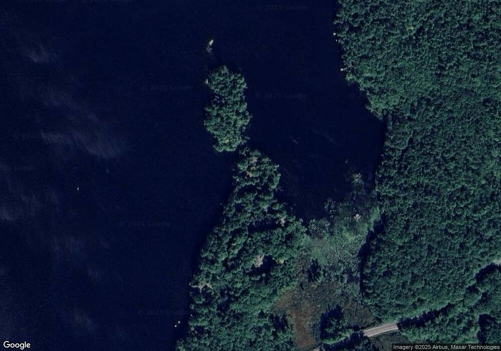
Map
Nearby Homes
- 6 Loon Point Rd
- 126 Meredith Center Rd
- 00 Chemung Rd Unit 31
- 65 Corliss Hill Rd
- 18 Solace Pointe Rd
- 447 Nh Route 104
- 1 Sanctuary Ln
- 14 Solace Pointe Rd
- 65 Tucker Mountain Rd
- 70 Hatch Corner Rd
- 247 Meredith Center Rd
- 264 Chemung Rd
- 31 Sherene Orchard Rd
- 33 Hickorywood Cir
- 33 Sherene Orchard Rd
- 12 Serenity Ln
- 5 Clover Ridge Rd
- 207 Pease Rd
- 22 Clover Ridge Rd
- 2 Namak Way
- 38 Loon Point Rd
- 42 Loon Point Rd
- 36 Loon Point Rd
- 37 Loon Point Rd
- 33 Loon Point Rd
- 22 Loon Point Rd
- 20 Loon Point Rd
- 18 Loon Point Rd
- 16 Loon Point Rd
- 14 Loon Point Rd
- 21 Loon Point Rd
- 57 Chemung Rd
- 12 Loon Point Rd
- 8 Loon Point Rd
- 69 Chemung Rd
- 4 Loon Point Rd
- 101 Chemung Rd
- 78 Chemung Rd
- 72 Chemung Rd
- 57 Wicwood Shores Rd