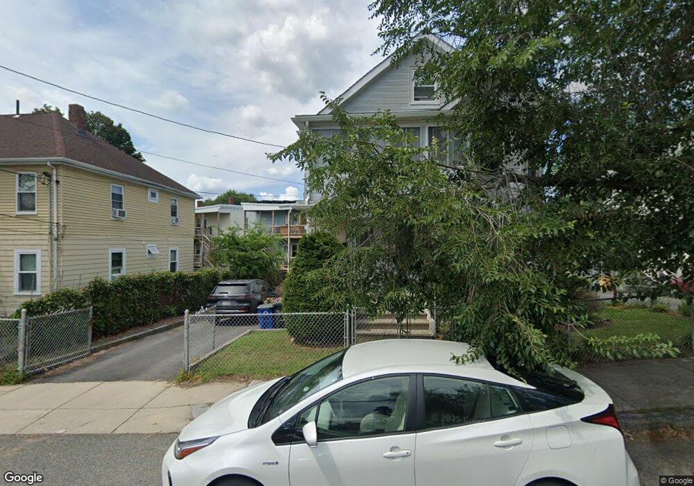
40 Massachusetts Ave Unit 2 Quincy, MA 02169
Quincy Point NeighborhoodEstimated Value: $843,800 - $952,000
3
Beds
2
Baths
1,641
Sq Ft
$544/Sq Ft
Est. Value
About This Home
This home is located at 40 Massachusetts Ave Unit 2, Quincy, MA 02169 and is currently estimated at $893,200, approximately $544 per square foot. 40 Massachusetts Ave Unit 2 is a home located in Norfolk County with nearby schools including Point Webster Middle School, Clifford H. Marshall Elementary School, and Quincy High School.
Ownership History
Date
Name
Owned For
Owner Type
Purchase Details
Closed on
Jan 11, 2024
Sold by
Richmond Donald and Richmond Rebecca
Bought by
Richmond Realty Ret and Richmond
Current Estimated Value
Purchase Details
Closed on
Nov 28, 2007
Sold by
Rossicone Giovanna and Rossicone Secondino
Bought by
Rossicone Carmelo and Ranalli Marisa
Create a Home Valuation Report for This Property
The Home Valuation Report is an in-depth analysis detailing your home's value as well as a comparison with similar homes in the area
Home Values in the Area
Average Home Value in this Area
Purchase History
| Date | Buyer | Sale Price | Title Company |
|---|---|---|---|
| Richmond Realty Ret | -- | None Available | |
| Rossicone Carmelo | -- | -- |
Source: Public Records
Tax History Compared to Growth
Tax History
| Year | Tax Paid | Tax Assessment Tax Assessment Total Assessment is a certain percentage of the fair market value that is determined by local assessors to be the total taxable value of land and additions on the property. | Land | Improvement |
|---|---|---|---|---|
| 2025 | $8,880 | $770,200 | $258,200 | $512,000 |
| 2024 | $8,340 | $740,000 | $245,900 | $494,100 |
| 2023 | $7,206 | $647,400 | $223,600 | $423,800 |
| 2022 | $7,178 | $599,200 | $203,300 | $395,900 |
| 2021 | $7,308 | $602,000 | $203,300 | $398,700 |
| 2020 | $7,099 | $571,100 | $191,700 | $379,400 |
| 2019 | $6,713 | $534,900 | $177,600 | $357,300 |
| 2018 | $6,238 | $467,600 | $161,400 | $306,200 |
| 2017 | $6,501 | $458,800 | $153,700 | $305,100 |
| 2016 | $5,796 | $403,600 | $139,700 | $263,900 |
| 2015 | $5,574 | $381,800 | $131,800 | $250,000 |
| 2014 | $4,874 | $328,000 | $131,800 | $196,200 |
Source: Public Records
Map
Nearby Homes
- 161 Sumner St Unit 2
- 161 Sumner St Unit 4
- 313 Washington St
- 16 Perley Place
- 51 Sumner St
- 25 5th Ave
- 19 Keyes St
- 32 Sumner St
- 16 Dartmouth St Unit 16
- 934 Southern Artery Unit 109
- 187 Washington St
- 41 Broadway
- 200 Cove Way Unit 614
- 35 Miller Stile Rd
- 585 Washington St Unit model-1
- 585 Washington St Unit model-2
- 585 Washington St Unit model
- 33 Elm St
- 66 Mcgrath Hwy Unit 407
- 66 Mcgrath Hwy Unit 405
- 40 Massachusetts Ave
- 42 Massachusetts Ave Unit 1
- 42 Massachusetts Ave
- 36 Massachusetts Ave Unit 1 Right
- 34-36 Massachusetts Ave Unit 2Left
- 34-36 Massachusetts Ave
- 34 Massachusetts Ave Unit 2Left
- 36 Massachusetts Ave Unit 2Right
- 36 Massachusetts Ave Unit 2Left
- 34 Massachusetts Ave
- 34 Massachusetts Ave Unit 1L
- 36 Massachusetts Ave Unit 1L
- 44 Massachusetts Ave
- 35 Massachusetts Ave Unit One
- 65 Grafton St Unit 2
- 33 Mass Ave Unit 2
- 41 Massachusetts Ave
- 37 Massachusetts Ave
- 41 Massachusetts Ave Unit 2
- 61 Grafton St