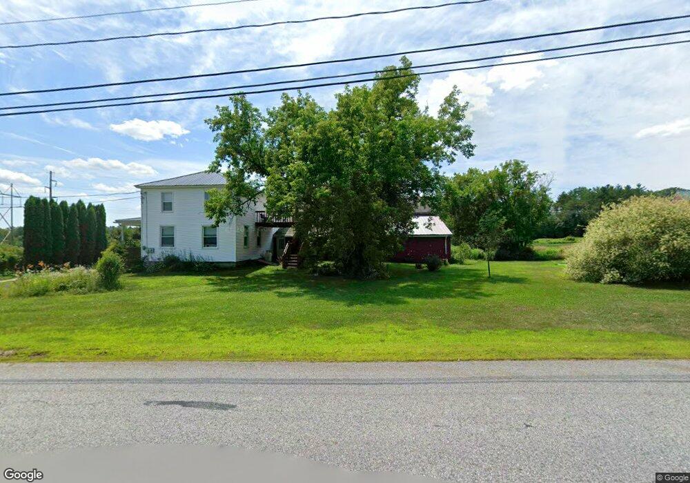
40 Merrill Rd Lewiston, ME 04240
Estimated Value: $358,706 - $371,000
3
Beds
2
Baths
1,794
Sq Ft
$204/Sq Ft
Est. Value
About This Home
This home is located at 40 Merrill Rd, Lewiston, ME 04240 and is currently estimated at $365,177, approximately $203 per square foot. 40 Merrill Rd is a home with nearby schools including Raymond A. Geiger Elementary School, Lewiston Middle School, and Lewiston High School.
Ownership History
Date
Name
Owned For
Owner Type
Purchase Details
Closed on
Aug 20, 2007
Sold by
Boilard Gary R
Bought by
Walsh Arthur W and Walsh Betty L
Current Estimated Value
Home Financials for this Owner
Home Financials are based on the most recent Mortgage that was taken out on this home.
Original Mortgage
$161,150
Outstanding Balance
$102,084
Interest Rate
6.67%
Mortgage Type
FHA
Estimated Equity
$263,093
Create a Home Valuation Report for This Property
The Home Valuation Report is an in-depth analysis detailing your home's value as well as a comparison with similar homes in the area
Home Values in the Area
Average Home Value in this Area
Purchase History
| Date | Buyer | Sale Price | Title Company |
|---|---|---|---|
| Walsh Arthur W | -- | -- |
Source: Public Records
Mortgage History
| Date | Status | Borrower | Loan Amount |
|---|---|---|---|
| Open | Walsh Arthur W | $161,150 |
Source: Public Records
Tax History Compared to Growth
Tax History
| Year | Tax Paid | Tax Assessment Tax Assessment Total Assessment is a certain percentage of the fair market value that is determined by local assessors to be the total taxable value of land and additions on the property. | Land | Improvement |
|---|---|---|---|---|
| 2024 | $4,544 | $143,040 | $31,920 | $111,120 |
| 2023 | $4,291 | $143,040 | $31,920 | $111,120 |
| 2022 | $4,077 | $143,040 | $31,920 | $111,120 |
| 2021 | $4,042 | $143,040 | $31,920 | $111,120 |
| 2020 | $4,101 | $143,040 | $31,920 | $111,120 |
| 2019 | $4,135 | $143,040 | $31,920 | $111,120 |
| 2018 | $4,101 | $143,040 | $31,920 | $111,120 |
| 2017 | $4,008 | $143,040 | $31,920 | $111,120 |
| 2016 | $3,939 | $143,040 | $31,920 | $111,120 |
| 2015 | $3,915 | $143,040 | $31,920 | $111,120 |
| 2014 | $3,803 | $143,040 | $31,920 | $111,120 |
| 2013 | $3,782 | $143,040 | $31,920 | $111,120 |
Source: Public Records
Map
Nearby Homes
- 60 Merrill Rd
- 20 Sleeper Rd
- 81 Merrill Rd
- 87 Merrill Rd
- 22 Sleeper Rd
- 24 Sleeper Rd
- 102 Merrill Rd
- 103 Merrill Rd
- 1 Sleeper Rd
- 30 Sleeper Rd
- 123 Merrill Rd
- 42 Sleeper Rd
- 866 College St
- 876 College St
- 940 College St
- 136 Merrill Rd
- 916 College St
- 918 College St
- 900 College St
- 0 Main St & Merrill Rd Lots A