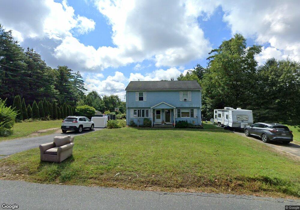
40 Mount Dumplin Rd Unit B Palmer, MA 01069
Estimated Value: $189,000 - $257,000
2
Beds
2
Baths
900
Sq Ft
$241/Sq Ft
Est. Value
About This Home
This home is located at 40 Mount Dumplin Rd Unit B, Palmer, MA 01069 and is currently estimated at $216,498, approximately $240 per square foot. 40 Mount Dumplin Rd Unit B is a home located in Hampden County with nearby schools including Old Mill Pond Elementary School, Converse Middle School, and Palmer High School.
Ownership History
Date
Name
Owned For
Owner Type
Purchase Details
Closed on
Aug 16, 2019
Sold by
Clark Glenn J
Bought by
Federal National Mortgage Association
Current Estimated Value
Purchase Details
Closed on
Apr 28, 2006
Sold by
Deutsche Bank T Co Ame and Equifirst Mtg Loan T 2
Bought by
Clark Glenn J
Home Financials for this Owner
Home Financials are based on the most recent Mortgage that was taken out on this home.
Original Mortgage
$96,000
Interest Rate
6.4%
Mortgage Type
Purchase Money Mortgage
Purchase Details
Closed on
Apr 18, 2006
Sold by
Giordano Katherine and Deutsche Bk T Co Ameri
Bought by
Deutsche Bk T Co Ameri
Home Financials for this Owner
Home Financials are based on the most recent Mortgage that was taken out on this home.
Original Mortgage
$96,000
Interest Rate
6.4%
Mortgage Type
Purchase Money Mortgage
Create a Home Valuation Report for This Property
The Home Valuation Report is an in-depth analysis detailing your home's value as well as a comparison with similar homes in the area
Home Values in the Area
Average Home Value in this Area
Purchase History
| Date | Buyer | Sale Price | Title Company |
|---|---|---|---|
| Federal National Mortgage Association | $70,884 | -- | |
| Clark Glenn J | $120,000 | -- | |
| Deutsche Bk T Co Ameri | $93,500 | -- |
Source: Public Records
Mortgage History
| Date | Status | Borrower | Loan Amount |
|---|---|---|---|
| Previous Owner | Clark Glenn J | $96,000 | |
| Previous Owner | Clark Glenn J | $24,000 |
Source: Public Records
Tax History Compared to Growth
Tax History
| Year | Tax Paid | Tax Assessment Tax Assessment Total Assessment is a certain percentage of the fair market value that is determined by local assessors to be the total taxable value of land and additions on the property. | Land | Improvement |
|---|---|---|---|---|
| 2025 | $2,049 | $112,900 | $0 | $112,900 |
| 2024 | $2,009 | $107,600 | $0 | $107,600 |
| 2023 | $1,942 | $99,900 | $0 | $99,900 |
| 2022 | $1,875 | $87,600 | $0 | $87,600 |
| 2021 | $1,955 | $86,400 | $0 | $86,400 |
| 2020 | $1,952 | $85,600 | $0 | $85,600 |
| 2019 | $2,396 | $108,200 | $0 | $108,200 |
| 2018 | $2,111 | $95,600 | $0 | $95,600 |
| 2017 | $2,062 | $95,600 | $0 | $95,600 |
| 2016 | $2,038 | $95,800 | $0 | $95,800 |
| 2015 | $2,245 | $108,800 | $0 | $108,800 |
Source: Public Records
Map
Nearby Homes
- 4560 High St
- 4329 High St
- Lots 39-42 Lawrence
- 0 St Unit 73414881
- 0 Old Warren Rd
- Lot 0 Thorndike and Lawrence St
- 62-91 Lawrence St
- L 65-35-1 Pine Hill Dr
- 4014 School St
- Lot 8 Breckenridge St
- 4188 Main St
- 22 Pine View
- 207 Breckenridge St
- 1029 Wilson St
- 1682 N Main St
- 44 Converse St
- 2077 Calkins Rd
- 160 Breckenridge St
- 1018-1020 Maple St
- 15 Quaboag Valley Co-Op St Unit 15
- 40 Mount Dumplin Rd Unit A
- 40B Mt Dumplin Rd
- 46 Mount Dumplin Rd
- 45 Mount Dumplin Rd
- 36 Mount Dumplin Rd
- 41 Mount Dumplin Rd
- 2 Desimone Dr
- 49 Mount Dumplin Rd
- 37 Mount Dumplin Rd
- 34 Mount Dumplin Rd
- 4 Desimone Dr
- 2 Memory Ln
- 53 Mount Dumplin Rd
- 33 Mount Dumplin Rd
- 54 Mount Dumplin Rd
- 32 Mount Dumplin Rd
- 6 Desimone Dr
- 4 Memory Ln
- 43 Mount Dumplin Rd
- 43B Mount Dumplin Rd