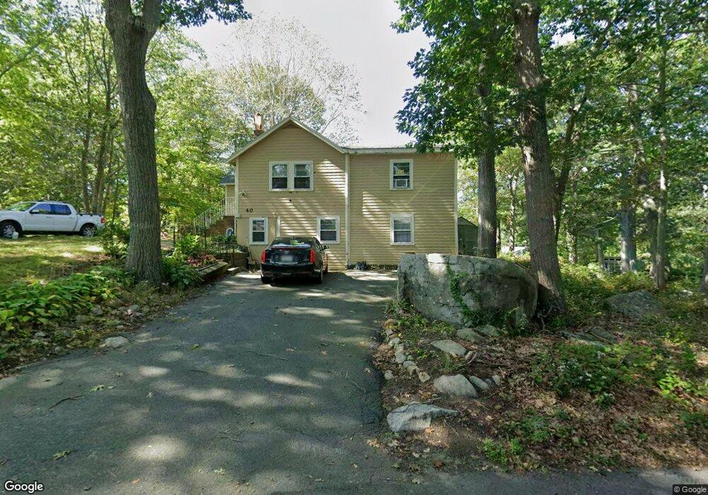
40 Ocean Ave Gloucester, MA 01930
Magnolia NeighborhoodEstimated Value: $588,746 - $724,000
2
Beds
1
Bath
1,020
Sq Ft
$635/Sq Ft
Est. Value
About This Home
This home is located at 40 Ocean Ave, Gloucester, MA 01930 and is currently estimated at $647,687, approximately $634 per square foot. 40 Ocean Ave is a home located in Essex County with nearby schools including West Parish, Ralph B O'maley Middle School, and Gloucester High School.
Ownership History
Date
Name
Owned For
Owner Type
Purchase Details
Closed on
Mar 29, 2012
Sold by
Misuraca Eli and Misuraca Nathan
Bought by
Misuraca Thomas
Current Estimated Value
Purchase Details
Closed on
Mar 31, 2011
Sold by
Nathan Eli and Misuraca David
Bought by
Gloucester City Of
Purchase Details
Closed on
May 23, 2006
Sold by
40 Ocean Avenue Rt and Sheedy
Bought by
Misuraca Eli
Purchase Details
Closed on
Aug 13, 2003
Sold by
Sheedy Roberta and Misuraca Roberta S
Bought by
40 Ocean Avenue Rt
Create a Home Valuation Report for This Property
The Home Valuation Report is an in-depth analysis detailing your home's value as well as a comparison with similar homes in the area
Home Values in the Area
Average Home Value in this Area
Purchase History
| Date | Buyer | Sale Price | Title Company |
|---|---|---|---|
| Misuraca Thomas | $114,000 | -- | |
| Gloucester City Of | $3,889 | -- | |
| Misuraca Eli | -- | -- | |
| 40 Ocean Avenue Rt | -- | -- |
Source: Public Records
Mortgage History
| Date | Status | Borrower | Loan Amount |
|---|---|---|---|
| Previous Owner | 40 Ocean Avenue Rt | $25,000 | |
| Previous Owner | 40 Ocean Avenue Rt | $50,000 | |
| Previous Owner | 40 Ocean Avenue Rt | $40,000 |
Source: Public Records
Tax History
| Year | Tax Paid | Tax Assessment Tax Assessment Total Assessment is a certain percentage of the fair market value that is determined by local assessors to be the total taxable value of land and additions on the property. | Land | Improvement |
|---|---|---|---|---|
| 2025 | $5,257 | $540,800 | $252,500 | $288,300 |
| 2024 | $5,100 | $524,200 | $240,500 | $283,700 |
| 2023 | $5,097 | $481,300 | $214,700 | $266,600 |
| 2022 | $4,773 | $406,900 | $182,600 | $224,300 |
| 2021 | $4,769 | $383,400 | $166,000 | $217,400 |
| 2020 | $4,475 | $362,900 | $166,000 | $196,900 |
| 2019 | $4,449 | $350,600 | $166,000 | $184,600 |
| 2018 | $4,404 | $340,600 | $166,000 | $174,600 |
| 2017 | $4,283 | $324,700 | $158,000 | $166,700 |
| 2016 | $4,097 | $301,000 | $158,500 | $142,500 |
| 2015 | $4,047 | $296,500 | $158,500 | $138,000 |
Source: Public Records
Map
Nearby Homes
- 17 Butler Ave
- 2 Ocean Ave Unit 3C
- 2 Ocean Ave Unit 2K
- 468 Summer St
- 450 Summer St
- 335 Summer St
- 239 Summer St
- 25 Forest St
- 5 Marshfield St
- 368 Essex Ave
- 5 Samoset Rd Unit B
- 4 Cobb Ave
- 6 Smith Ln Unit 6
- 45 School St
- 8 Flatley Ave
- 9 Flatley Ave
- 25 Masconomo St
- 55 Mansfield St Unit A
- 55 Mansfield St Unit B
- 55 Mansfield St
Your Personal Tour Guide
Ask me questions while you tour the home.