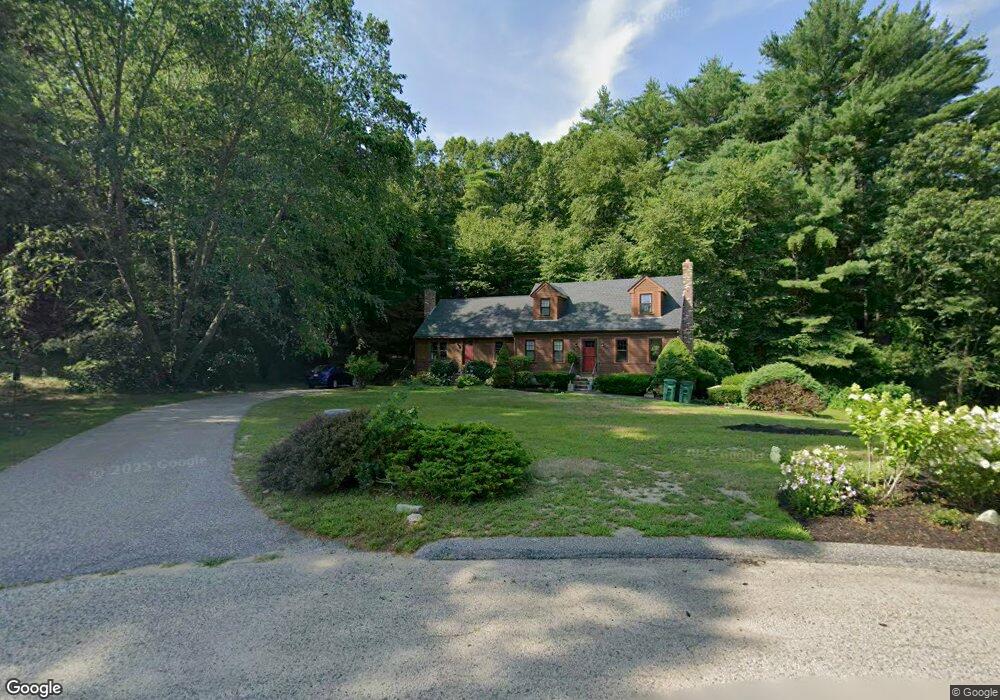
40 Packet Landing Unit A Pembroke, MA 02359
Estimated Value: $467,000 - $526,000
--
Bed
2
Baths
1,448
Sq Ft
$350/Sq Ft
Est. Value
About This Home
This home is located at 40 Packet Landing Unit A, Pembroke, MA 02359 and is currently estimated at $507,129, approximately $350 per square foot. 40 Packet Landing Unit A is a home located in Plymouth County with nearby schools including Pembroke High School, Cadence Academy Preschool - Hanover, and Cardinal Cushing Centers.
Ownership History
Date
Name
Owned For
Owner Type
Purchase Details
Closed on
Apr 5, 2022
Sold by
Powers-Watkins Alicia
Bought by
Powers-Watkins Alicia and Powers-Watkins Brenda
Current Estimated Value
Purchase Details
Closed on
Mar 31, 2016
Sold by
Myers Barbara A
Bought by
Powers-Watkins Alicia and Powers Margaret M
Home Financials for this Owner
Home Financials are based on the most recent Mortgage that was taken out on this home.
Original Mortgage
$236,300
Interest Rate
3.65%
Mortgage Type
New Conventional
Create a Home Valuation Report for This Property
The Home Valuation Report is an in-depth analysis detailing your home's value as well as a comparison with similar homes in the area
Home Values in the Area
Average Home Value in this Area
Purchase History
| Date | Buyer | Sale Price | Title Company |
|---|---|---|---|
| Powers-Watkins Alicia | -- | None Available | |
| Powers-Watkins Alicia | $278,000 | -- |
Source: Public Records
Mortgage History
| Date | Status | Borrower | Loan Amount |
|---|---|---|---|
| Previous Owner | Powers-Watkins Alicia | $236,300 |
Source: Public Records
Tax History Compared to Growth
Tax History
| Year | Tax Paid | Tax Assessment Tax Assessment Total Assessment is a certain percentage of the fair market value that is determined by local assessors to be the total taxable value of land and additions on the property. | Land | Improvement |
|---|---|---|---|---|
| 2025 | $5,094 | $423,800 | $0 | $423,800 |
| 2024 | $4,888 | $406,300 | $0 | $406,300 |
| 2023 | $4,864 | $382,400 | $0 | $382,400 |
| 2022 | $4,801 | $339,300 | $0 | $339,300 |
| 2021 | $4,391 | $301,200 | $0 | $301,200 |
| 2020 | $4,564 | $315,000 | $0 | $315,000 |
| 2019 | $4,303 | $294,700 | $0 | $294,700 |
| 2018 | $4,017 | $269,800 | $0 | $269,800 |
| 2017 | $3,976 | $263,300 | $0 | $263,300 |
| 2016 | $3,473 | $227,600 | $0 | $227,600 |
| 2015 | $3,370 | $228,600 | $0 | $228,600 |
Source: Public Records
Map
Nearby Homes
- 218 Schoosett St
- 21 Union St
- 21 Chowdermarch St
- 5 Royal Dane Dr Unit 46
- 5 Royal Dane Dr Unit 45
- 10 Penstock Ln
- 55 Shipyard Ln
- 172 Washington St
- 451 School St Unit 5-2
- 451 School St Unit 3-4
- 261 Washington St
- 20 Meadow Brook Rd
- 26 Church St
- 34 Canonchet Trail
- 10 Shrine Rd
- 33 Barker Square Dr Unit 33
- 56 Wiltshire Ln
- 330 Pleasant St
- 899 Old Main Street Extension
- 2 Proprietors Dr Unit 23
- 40 Packet Landing Unit B
- 40 Packet Landing
- 40 Packet Landing Unit 40
- 40 Packet Landing Unit 40B
- 34 Packet Landing Unit B
- 34 Packet Landing Unit A
- 44 Packet Landing Unit B
- 44 Packet Landing Unit A
- 44 Packet Landing Unit 44A
- 32 Packet Landing Unit B
- 32 Packet Landing Unit A
- 32 Packet Landing Unit 32B
- 19 Old Landing Rd
- 310 Water St
- 13 Old Landing Rd
- 37 Packet Landing Unit B
- 37 Packet Landing Unit A
- 37 Packet Landing Unit 12B
- 30 Packet Landing Unit B
- 30 Packet Landing Unit A