40 Pond Rd Eddington, ME 04428
Estimated Value: $259,000 - $380,000
1
Bed
1
Bath
960
Sq Ft
$332/Sq Ft
Est. Value
About This Home
This home is located at 40 Pond Rd, Eddington, ME 04428 and is currently estimated at $318,764, approximately $332 per square foot. 40 Pond Rd is a home located in Penobscot County.
Ownership History
Date
Name
Owned For
Owner Type
Purchase Details
Closed on
Oct 2, 2024
Sold by
Joel Gottlieb 2013 Ret and Gottlieb
Bought by
Jandreau Darin N
Current Estimated Value
Home Financials for this Owner
Home Financials are based on the most recent Mortgage that was taken out on this home.
Original Mortgage
$240,000
Outstanding Balance
$237,548
Interest Rate
6.5%
Mortgage Type
Purchase Money Mortgage
Estimated Equity
$81,216
Purchase Details
Closed on
Sep 15, 2008
Sold by
Stevens Glynford H and Stevens Sharon L
Bought by
Gottlieb Joel A and Gottlieb Jane E
Create a Home Valuation Report for This Property
The Home Valuation Report is an in-depth analysis detailing your home's value as well as a comparison with similar homes in the area
Home Values in the Area
Average Home Value in this Area
Purchase History
| Date | Buyer | Sale Price | Title Company |
|---|---|---|---|
| Jandreau Darin N | $300,000 | None Available | |
| Jandreau Darin N | $300,000 | None Available | |
| Jandreau Darin N | $300,000 | None Available | |
| Gottlieb Joel A | -- | -- | |
| Gottlieb Joel A | -- | -- |
Source: Public Records
Mortgage History
| Date | Status | Borrower | Loan Amount |
|---|---|---|---|
| Open | Jandreau Darin N | $240,000 | |
| Closed | Jandreau Darin N | $240,000 | |
| Previous Owner | Gottlieb Joel A | $72,000 |
Source: Public Records
Tax History Compared to Growth
Tax History
| Year | Tax Paid | Tax Assessment Tax Assessment Total Assessment is a certain percentage of the fair market value that is determined by local assessors to be the total taxable value of land and additions on the property. | Land | Improvement |
|---|---|---|---|---|
| 2024 | $2,757 | $139,607 | $55,710 | $83,897 |
| 2023 | $2,422 | $139,607 | $55,710 | $83,897 |
| 2022 | $2,283 | $139,607 | $55,710 | $83,897 |
| 2021 | $2,290 | $131,980 | $55,710 | $76,270 |
| 2020 | $2,336 | $131,980 | $55,710 | $76,270 |
| 2019 | $2,204 | $131,980 | $55,710 | $76,270 |
| 2018 | $2,059 | $131,980 | $55,710 | $76,270 |
| 2017 | $2,017 | $131,980 | $55,710 | $76,270 |
| 2016 | $1,986 | $131,980 | $55,710 | $76,270 |
| 2015 | $1,885 | $131,980 | $55,710 | $76,270 |
| 2014 | $1,885 | $131,980 | $55,710 | $76,270 |
Source: Public Records
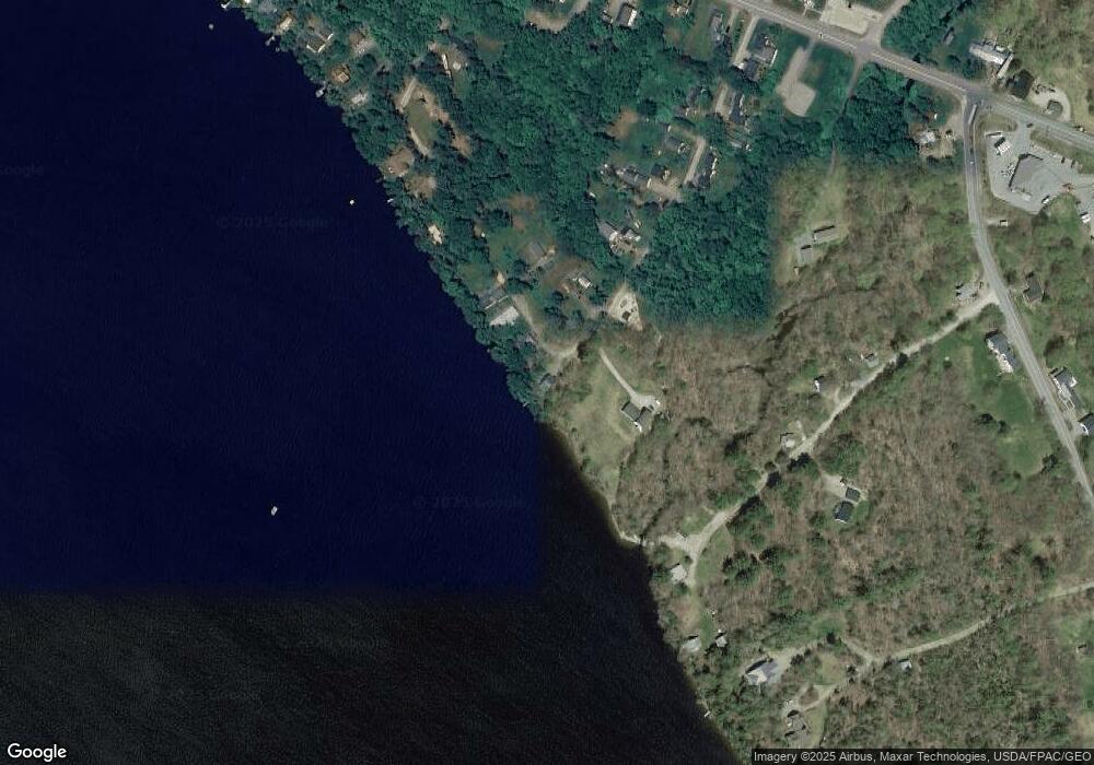
Map
Nearby Homes
- 46 Pond Rd
- Lot 10-1 Airline Rd
- Map7 Lot14 Chestnut Ln
- 1068 Main Rd
- 271 Clark Hill Rd
- 0 Tbd Chemo Pond Rd
- 93 Forestry Ln
- 386 Airline Rd
- Lot 15-1 Forestry Ln
- Lot 16 Forestry Ln
- Lot 17 Forestry Ln
- 451 Levenseller Rd
- 36 Comins Ln
- 0 Tbd Mountain View Dr
- 443 Mann Hill Rd
- Lot 12 Katahdin Way
- 40 Katahdin Way
- 37 Lower Dedham Rd
- 57 Kingsbury Rd
- 15-3 Royal Ridge