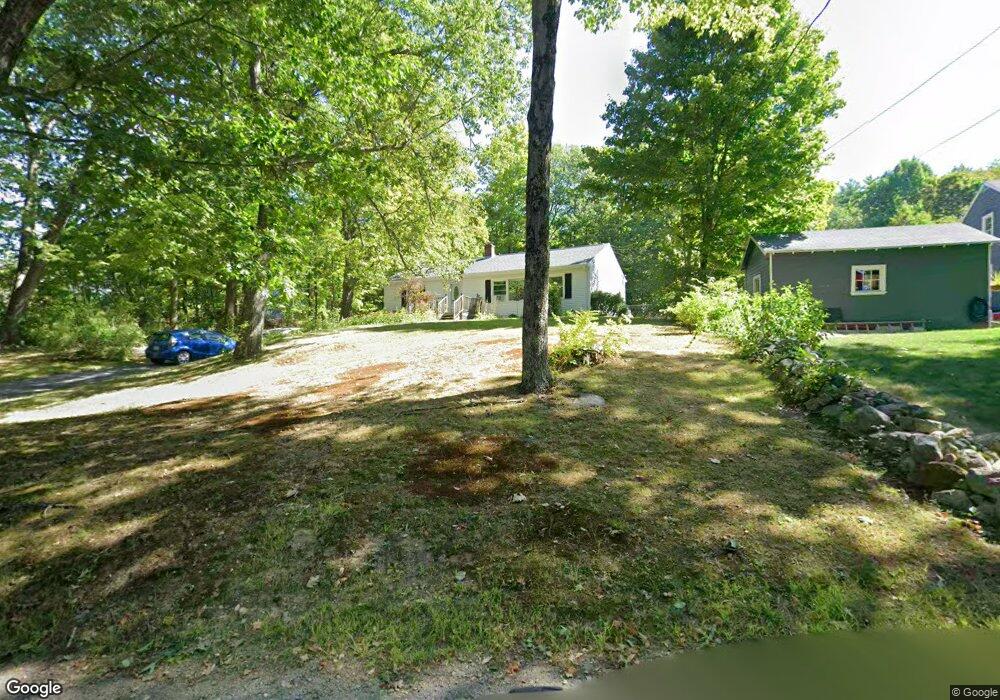
40 Proctor St Ashburnham, MA 01430
Estimated Value: $342,997 - $454,000
3
Beds
1
Bath
1,152
Sq Ft
$345/Sq Ft
Est. Value
About This Home
This home is located at 40 Proctor St, Ashburnham, MA 01430 and is currently estimated at $397,749, approximately $345 per square foot. 40 Proctor St is a home located in Worcester County with nearby schools including Oakmont Regional High School and Cushing Academy.
Ownership History
Date
Name
Owned For
Owner Type
Purchase Details
Closed on
Sep 4, 2008
Sold by
Maxwell Scott A and Maxwell Eva L
Bought by
Webber William P and Webber Joan F
Current Estimated Value
Purchase Details
Closed on
Apr 30, 2008
Sold by
Elliott Marcia J
Bought by
Maxwell Scott A and Maxwell Eva L
Create a Home Valuation Report for This Property
The Home Valuation Report is an in-depth analysis detailing your home's value as well as a comparison with similar homes in the area
Home Values in the Area
Average Home Value in this Area
Purchase History
| Date | Buyer | Sale Price | Title Company |
|---|---|---|---|
| Webber William P | $199,860 | -- | |
| Webber William P | $199,860 | -- | |
| Maxwell Scott A | $117,700 | -- | |
| Maxwell Scott A | $117,700 | -- |
Source: Public Records
Mortgage History
| Date | Status | Borrower | Loan Amount |
|---|---|---|---|
| Open | Maxwell Scott A | $50,000 | |
| Previous Owner | Maxwell Scott A | $117,300 | |
| Previous Owner | Maxwell Scott A | $88,000 |
Source: Public Records
Map
Nearby Homes
- 10 Central St
- 14 Central St
- 100 Main St
- 9 Willard Rd
- 57 Ashby Rd
- 75 Willard Rd
- 18 Corey Hill Rd
- 36 Hillandale Rd
- 152 Ashby Rd
- Lot 3 W State Rd
- 5 Russell Ave
- 77 Barrel Rd
- 149 Bragg Hill Rd
- 0 Rindge Turnpike
- 15 Kirali Ct
- 151 Wilker Rd
- 6 Wyman Rd
- 162 Sherbert Rd
- 210 Bean Porridge Hill Rd
- 358 Winchendon Rd
Your Personal Tour Guide
Ask me questions while you tour the home.