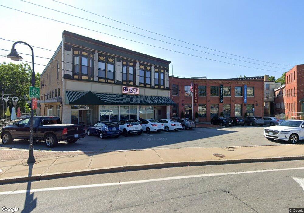
40 S Main St Woonsocket, RI 02895
Downtown Woonsocket NeighborhoodEstimated Value: $697,878
6
Beds
8
Baths
10,965
Sq Ft
$64/Sq Ft
Est. Value
About This Home
This home is located at 40 S Main St, Woonsocket, RI 02895 and is currently estimated at $697,878, approximately $63 per square foot. 40 S Main St is a home located in Providence County with nearby schools including Woonsocket High School, Rise Prep Mayoral Academy Middle School, and Rise Prep Mayoral Academy.
Ownership History
Date
Name
Owned For
Owner Type
Purchase Details
Closed on
Oct 15, 2003
Sold by
Philip A Mulvey Co
Bought by
Woonsocket Nbrhd Dev C
Current Estimated Value
Create a Home Valuation Report for This Property
The Home Valuation Report is an in-depth analysis detailing your home's value as well as a comparison with similar homes in the area
Home Values in the Area
Average Home Value in this Area
Purchase History
| Date | Buyer | Sale Price | Title Company |
|---|---|---|---|
| Woonsocket Nbrhd Dev C | $325,000 | -- | |
| Woonsocket Nbrhd Dev C | $325,000 | -- |
Source: Public Records
Mortgage History
| Date | Status | Borrower | Loan Amount |
|---|---|---|---|
| Open | Woonsocket Nbrhd Dev C | $750,000 |
Source: Public Records
Map
Nearby Homes
- 379 Front St
- 99 Allen St Unit 205
- 180 Allen St Unit 104
- 0 Holbrook Ln Unit 1402850
- 115 Railroad St
- 122 Grand St
- 35 Greene St
- 233 Grove St
- 15 Knight St
- 36 Fairmount St
- 526 Bernon St
- 59 Division St
- 190 Crawford St
- 24 Paradis Ave
- 0 N Main St Unit 1401765
- 219 Crawford St
- 80 Summit St
- 70 W Park Place
- 435 S Main St
- 74 Maple St
- 5 Island Place
- 0 Main St
- 68 S Main St
- 15 Island Place
- 17 Island Place
- 2 S Main St
- 82 S Main St
- 10 Arnold St
- 96 S Main St
- 0 River St Unit 552104
- 0 River St Unit 715004
- 0 River St Unit 540262
- 0 River ` St Unit 981301
- 0 River St Unit 1047481
- 74 S Main St
- 21 S Main St
- 25 S Main St
- 2 Main St
- 0 Bernon St Unit 70833727
- 0 Bernon St Unit 71140131
Your Personal Tour Guide
Ask me questions while you tour the home.