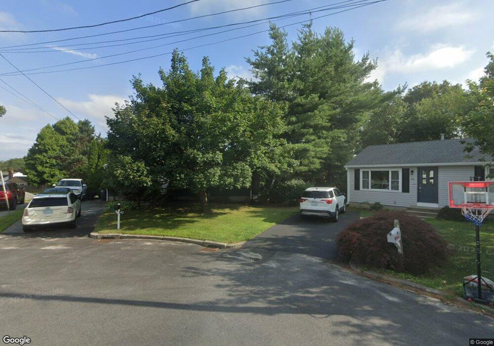
40 Samuel Ct Cranston, RI 02920
Mayfield NeighborhoodEstimated Value: $392,008 - $404,000
3
Beds
1
Bath
988
Sq Ft
$403/Sq Ft
Est. Value
About This Home
This home is located at 40 Samuel Ct, Cranston, RI 02920 and is currently estimated at $397,752, approximately $402 per square foot. 40 Samuel Ct is a home located in Providence County with nearby schools including Garden City School, Western Hills Middle School, and Cranston High School West.
Ownership History
Date
Name
Owned For
Owner Type
Purchase Details
Closed on
Apr 21, 2015
Sold by
Woods Robert R
Bought by
Tetreault Jason and Tetreault Christine
Current Estimated Value
Purchase Details
Closed on
Mar 27, 2015
Sold by
Tetreault Jason
Bought by
Tetreault Jason and Tetreault Christine
Purchase Details
Closed on
Apr 15, 2003
Sold by
Jarest Charlotte
Bought by
Tetreault Jason and Jacob Christina
Home Financials for this Owner
Home Financials are based on the most recent Mortgage that was taken out on this home.
Original Mortgage
$146,300
Interest Rate
5.86%
Purchase Details
Closed on
Jun 9, 1992
Sold by
Landev Assoc Inc
Bought by
Jarest Michael G
Create a Home Valuation Report for This Property
The Home Valuation Report is an in-depth analysis detailing your home's value as well as a comparison with similar homes in the area
Home Values in the Area
Average Home Value in this Area
Purchase History
| Date | Buyer | Sale Price | Title Company |
|---|---|---|---|
| Tetreault Jason | $2,404 | -- | |
| Tetreault Jason | $2,404 | -- | |
| Tetreault Jason | $154,000 | -- | |
| Jarest Michael G | $85,000 | -- |
Source: Public Records
Mortgage History
| Date | Status | Borrower | Loan Amount |
|---|---|---|---|
| Previous Owner | Jarest Michael G | $36,100 | |
| Previous Owner | Jarest Michael G | $148,500 | |
| Previous Owner | Jarest Michael G | $146,300 |
Source: Public Records
Tax History
| Year | Tax Paid | Tax Assessment Tax Assessment Total Assessment is a certain percentage of the fair market value that is determined by local assessors to be the total taxable value of land and additions on the property. | Land | Improvement |
|---|---|---|---|---|
| 2025 | $4,303 | $310,000 | $109,800 | $200,200 |
| 2024 | $4,219 | $310,000 | $109,800 | $200,200 |
| 2023 | $4,075 | $215,600 | $72,300 | $143,300 |
| 2022 | $3,991 | $215,600 | $72,300 | $143,300 |
| 2021 | $3,881 | $215,600 | $72,300 | $143,300 |
| 2020 | $3,683 | $177,300 | $68,800 | $108,500 |
| 2019 | $3,683 | $177,300 | $68,800 | $108,500 |
| 2018 | $3,597 | $177,300 | $68,800 | $108,500 |
| 2017 | $3,650 | $159,100 | $62,000 | $97,100 |
| 2016 | $3,572 | $159,100 | $62,000 | $97,100 |
| 2015 | $3,572 | $159,100 | $62,000 | $97,100 |
| 2014 | $3,536 | $154,800 | $62,000 | $92,800 |
Source: Public Records
Map
Nearby Homes
- 10 East St Unit 316
- 5 High St
- 36 Bleachery Ct
- 14 W Natick Rd
- 115 Edman St
- 123 Edman St
- 165 Graystone St
- 993 Williamsburg Cir
- 122 Edaville Ct
- 892 Halifax Dr
- 816 Williamsbug Cir Unit 816
- 69 Haverhill Ave
- 833 Halifax Dr
- 1027 Providence St Unit 4B
- 14 Amanda St
- 64 Cliffside Dr
- 20 Manilla Ave
- 6 Seneca St
- 6 Lillian Ct
- 50 Briarwood Rd
- 35 Wellspring Dr
- 34 Samuel Ct
- 43 Wellspring Dr
- 28 Samuel Ct
- 27 Samuel Ct
- 27 Wellspring Dr
- 22 Samuel Ct
- 21 Samuel Ct
- 50 Newwood Dr
- 53 Wellspring Dr
- 36 Wellspring Dr
- 42 Wellspring Dr
- 30 Wellspring Dr
- 16 Samuel Ct
- 15 Samuel Ct
- 42 Newwood Dr
- 19 Wellspring Dr
- 50 Wellspring Dr
- 12 Wellspring Dr
- 10 Samuel Ct
Your Personal Tour Guide
Ask me questions while you tour the home.