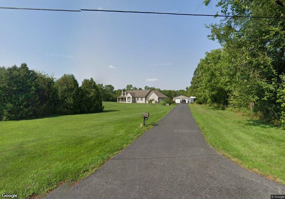
40 Spring Ln Unit 4 Littlestown, PA 17340
Estimated Value: $499,000 - $654,000
3
Beds
2
Baths
--
Sq Ft
3
Acres
About This Home
This home is located at 40 Spring Ln Unit 4, Littlestown, PA 17340 and is currently estimated at $549,606. 40 Spring Ln Unit 4 is a home located in Adams County with nearby schools including Rolling Acres El School, Maple Avenue Middle School, and Littlestown Senior High School.
Ownership History
Date
Name
Owned For
Owner Type
Purchase Details
Closed on
Jun 23, 2010
Sold by
Weaver James E and Weaver Monique R
Bought by
Robey Robert Roy
Current Estimated Value
Home Financials for this Owner
Home Financials are based on the most recent Mortgage that was taken out on this home.
Original Mortgage
$135,000
Outstanding Balance
$89,630
Interest Rate
4.78%
Mortgage Type
New Conventional
Estimated Equity
$459,976
Create a Home Valuation Report for This Property
The Home Valuation Report is an in-depth analysis detailing your home's value as well as a comparison with similar homes in the area
Home Values in the Area
Average Home Value in this Area
Purchase History
| Date | Buyer | Sale Price | Title Company |
|---|---|---|---|
| Robey Robert Roy | $375,000 | -- |
Source: Public Records
Mortgage History
| Date | Status | Borrower | Loan Amount |
|---|---|---|---|
| Open | Robey Robert Roy | $135,000 |
Source: Public Records
Tax History Compared to Growth
Tax History
| Year | Tax Paid | Tax Assessment Tax Assessment Total Assessment is a certain percentage of the fair market value that is determined by local assessors to be the total taxable value of land and additions on the property. | Land | Improvement |
|---|---|---|---|---|
| 2025 | $6,865 | $354,200 | $101,600 | $252,600 |
| 2024 | $6,462 | $348,400 | $101,600 | $246,800 |
| 2023 | $6,337 | $348,400 | $101,600 | $246,800 |
| 2022 | $6,292 | $348,400 | $101,600 | $246,800 |
| 2021 | $6,074 | $348,400 | $101,600 | $246,800 |
| 2020 | $5,989 | $348,400 | $101,600 | $246,800 |
| 2019 | $5,864 | $348,400 | $101,600 | $246,800 |
| 2018 | $5,739 | $348,400 | $101,600 | $246,800 |
| 2017 | $5,566 | $348,400 | $101,600 | $246,800 |
| 2016 | -- | $348,400 | $101,600 | $246,800 |
| 2015 | -- | $348,400 | $101,600 | $246,800 |
| 2014 | -- | $348,400 | $101,600 | $246,800 |
Source: Public Records
Map
Nearby Homes
- 464 Locust Ln
- 67 Cedarfield Dr
- 138 Cedarfield Dr Unit 71
- 48 Cannon Ln Unit 105
- 1 Hickory Ave
- 89 Maple St Unit 68
- 202 Plunkert Rd Unit 2
- 27 Maple St
- 8 Maple St
- 3801 Baltimore Pike
- 34 W Hanover St
- 0 Littlestown Rd
- 25 Harvest Dr
- 820 Storms Store Rd
- 230 W Crest View Ln
- 20 Locust Dr
- 0 Locust Dr Unit PAAD2015910
- 20c Locust Dr
- 58 Windsor Ct
- 48 Windsor Ct
- 520 Bulk Plant Rd
- 420 Bulk Plant Rd
- 422 Bulk Plant Rd
- 425 Bulk Plant Rd Unit 2
- 160 Spring Ln
- 650 Bulk Plant Rd
- 647 Bulk Plant Rd
- 647 Bulk Plant Rd
- 206 Spring Ln
- 195 Spring Ln Unit 1
- 215 Spring Ln
- 207 Spring Ln Unit 2
- 385 Bulk Plant Rd
- 700 Bulk Plant Rd
- 221 Spring Ln Unit 3
- 237 Spring Ln Unit 4
- 240 Spring Ln
- 703 Bulk Plant Rd Unit 2
- 748 Locust Ln
- 720 Bulk Plant Rd