40 Sunnyside Ave Vineyard Haven, MA 02568
Vineyard Haven NeighborhoodEstimated Value: $1,517,000 - $3,988,000
2
Beds
2
Baths
1,139
Sq Ft
$2,639/Sq Ft
Est. Value
About This Home
This home is located at 40 Sunnyside Ave, Vineyard Haven, MA 02568 and is currently estimated at $3,005,787, approximately $2,638 per square foot. 40 Sunnyside Ave is a home located in Dukes County with nearby schools including Tisbury Elementary School, Martha's Vineyard Regional High School, and Vineyard Montessori School.
Ownership History
Date
Name
Owned For
Owner Type
Purchase Details
Closed on
Dec 31, 2012
Sold by
Pelletier Philip and Pelletier Eileen
Bought by
Sunnyside Rt
Current Estimated Value
Purchase Details
Closed on
Feb 5, 2004
Sold by
Lenske Lawrence
Bought by
1995 Lawrence Lenske M
Purchase Details
Closed on
Nov 9, 1998
Sold by
Somers-Mcteigue T and Mcteigue Priscilla S
Bought by
Lenske Marital T L
Home Financials for this Owner
Home Financials are based on the most recent Mortgage that was taken out on this home.
Original Mortgage
$400,000
Interest Rate
6.64%
Mortgage Type
Purchase Money Mortgage
Create a Home Valuation Report for This Property
The Home Valuation Report is an in-depth analysis detailing your home's value as well as a comparison with similar homes in the area
Home Values in the Area
Average Home Value in this Area
Purchase History
| Date | Buyer | Sale Price | Title Company |
|---|---|---|---|
| Sunnyside Rt | -- | -- | |
| 1995 Lawrence Lenske M | -- | -- | |
| Lenske Marital T L | $500,000 | -- |
Source: Public Records
Mortgage History
| Date | Status | Borrower | Loan Amount |
|---|---|---|---|
| Previous Owner | Lenske Marital T L | $400,000 |
Source: Public Records
Tax History Compared to Growth
Tax History
| Year | Tax Paid | Tax Assessment Tax Assessment Total Assessment is a certain percentage of the fair market value that is determined by local assessors to be the total taxable value of land and additions on the property. | Land | Improvement |
|---|---|---|---|---|
| 2025 | $22,857 | $3,019,400 | $2,120,700 | $898,700 |
| 2024 | $19,723 | $2,471,500 | $1,576,100 | $895,400 |
| 2023 | $17,918 | $2,447,800 | $1,584,800 | $863,000 |
| 2022 | $14,488 | $1,665,300 | $906,100 | $759,200 |
| 2021 | $13,186 | $1,438,000 | $858,400 | $579,600 |
| 2020 | $12,761 | $1,367,711 | $858,411 | $509,300 |
| 2019 | $11,493 | $1,253,300 | $858,400 | $394,900 |
| 2018 | $11,360 | $1,202,100 | $858,400 | $343,700 |
| 2017 | $11,772 | $1,292,200 | $978,700 | $313,500 |
| 2016 | $11,192 | $1,221,800 | $931,600 | $290,200 |
| 2015 | $11,918 | $1,336,100 | $1,057,500 | $278,600 |
Source: Public Records
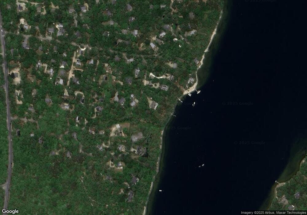
Map
Nearby Homes
- 12 Park Ave
- 385 Barnes Rd
- 0 Barnes Rd Unit 32400334
- 0 Barnes Rd Unit 59 42701
- 47 Tiffany Dr
- 400 Barnes Rd
- 12 Wheelhouse Way
- 10 Putnam Way
- 0 Red Buoy Ln Unit Lot 147 32500278
- 147 Red Buoy Ln Unit 2.1
- 267 Barnes Rd
- 44 Tiffany Dr
- 169 Clover Hill Dr
- 96 Dunham Ave
- 0 Weaver Ln
- 27 Chapde Ln
- 5 Weaver Ln
- 5 Bayes Hill Cir
- 35 Double Ox Rd
- 26 Sunnyside Ave
- 47 Sunnyside Ave
- 30 Cronig Ave
- 20 Sunnyside Ave
- 26 Waverly St
- 14 Waverly St
- 13 Sunnyside Ave
- 80 Highland Ave
- 145 Lagoon Ave
- 147 Lagoon Ave
- 129 Lagoon Ave
- 40 Cronig Ave
- 119 Lagoon Ave
- 87 Bellevue Avenue & 0 Howard St
- 40 Central Ave
- 100 Highland Ave
- 52 Central Ave
- 28 Central Ave
- 62 Howard St
- 19 Spring Valley