Estimated Value: $962,000 - $1,138,000
4
Beds
3
Baths
2,016
Sq Ft
$520/Sq Ft
Est. Value
About This Home
This home is located at 40 Tuttle Dr, Acton, MA 01720 and is currently estimated at $1,047,437, approximately $519 per square foot. 40 Tuttle Dr is a home located in Middlesex County with nearby schools including Acton-Boxborough Regional High School, Maynard Knowledge Beginnings, and The Imago School.
Ownership History
Date
Name
Owned For
Owner Type
Purchase Details
Closed on
May 29, 1998
Sold by
Dangelmayer Robert R
Bought by
Friend Steven A and Ryan-Friend Maureen
Current Estimated Value
Create a Home Valuation Report for This Property
The Home Valuation Report is an in-depth analysis detailing your home's value as well as a comparison with similar homes in the area
Home Values in the Area
Average Home Value in this Area
Purchase History
| Date | Buyer | Sale Price | Title Company |
|---|---|---|---|
| Friend Steven A | $340,500 | -- |
Source: Public Records
Mortgage History
| Date | Status | Borrower | Loan Amount |
|---|---|---|---|
| Open | Friend Steven A | $276,000 | |
| Closed | Friend Steven A | $240,000 |
Source: Public Records
Tax History
| Year | Tax Paid | Tax Assessment Tax Assessment Total Assessment is a certain percentage of the fair market value that is determined by local assessors to be the total taxable value of land and additions on the property. | Land | Improvement |
|---|---|---|---|---|
| 2025 | $15,066 | $878,500 | $380,800 | $497,700 |
| 2024 | $14,116 | $846,800 | $380,800 | $466,000 |
| 2023 | $13,742 | $782,600 | $345,800 | $436,800 |
| 2022 | $13,020 | $669,400 | $300,900 | $368,500 |
| 2021 | $12,678 | $626,700 | $277,700 | $349,000 |
| 2020 | $12,146 | $631,300 | $277,700 | $353,600 |
| 2019 | $11,587 | $598,200 | $277,700 | $320,500 |
| 2018 | $11,397 | $588,100 | $277,700 | $310,400 |
| 2017 | $11,114 | $583,100 | $277,700 | $305,400 |
| 2016 | $11,071 | $575,700 | $277,700 | $298,000 |
| 2015 | $10,870 | $570,600 | $277,700 | $292,900 |
| 2014 | $10,544 | $542,100 | $277,700 | $264,400 |
Source: Public Records
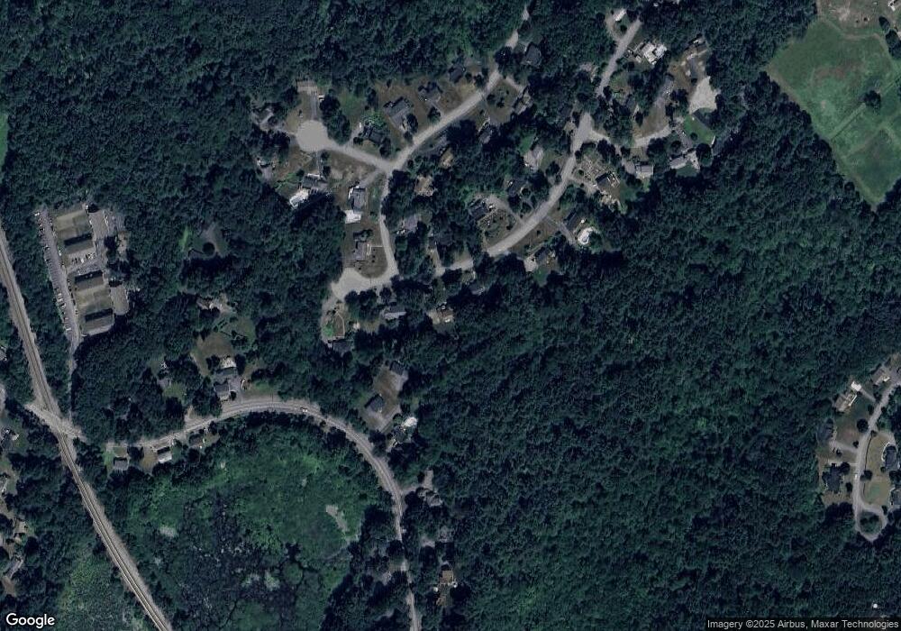
Map
Nearby Homes
- 184 Main St Unit 3
- 25 Nylander Way
- 6 Beacon Ct
- 7 Kelley Rd
- 131 Main St
- 129 Main St Unit 129
- 90 Willow St Unit 1
- 92 Willow St Unit 3
- 92 Willow St Unit 2
- 235 Arlington St
- 40 High St
- 20 Joseph Reed Ln
- 631 Massachusetts Ave Unit 631
- 70 River St
- 30 Brewster Ln
- 1 Vanderbelt Rd
- 79 Charter Rd
- 5 Perkins Ln
- 18 Hayward Rd
- 7 Hillcrest Dr
Your Personal Tour Guide
Ask me questions while you tour the home.