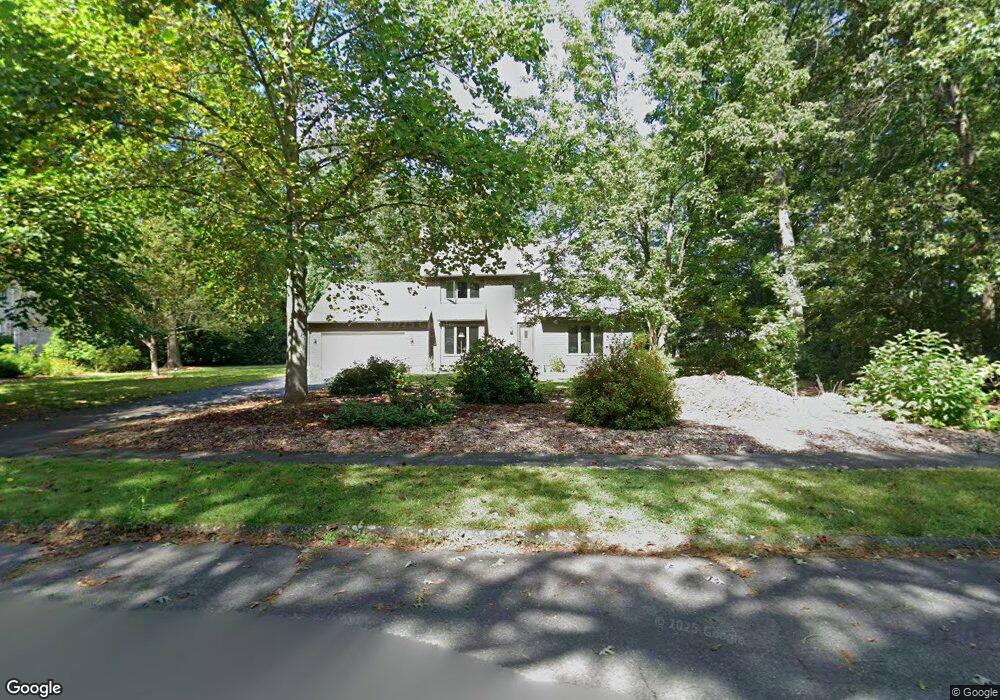
40 W Parsons Ln Florence, MA 01062
Florence NeighborhoodEstimated Value: $596,000 - $667,000
4
Beds
3
Baths
2,081
Sq Ft
$302/Sq Ft
Est. Value
About This Home
This home is located at 40 W Parsons Ln, Florence, MA 01062 and is currently estimated at $629,427, approximately $302 per square foot. 40 W Parsons Ln is a home located in Hampshire County with nearby schools including Northampton High School and Hilltown Cooperative Charter Public School.
Ownership History
Date
Name
Owned For
Owner Type
Purchase Details
Closed on
Nov 1, 1991
Sold by
Boyle James F and Boyle Patricia A
Bought by
Malinoski Steven E
Current Estimated Value
Home Financials for this Owner
Home Financials are based on the most recent Mortgage that was taken out on this home.
Original Mortgage
$100,000
Interest Rate
8.9%
Mortgage Type
Purchase Money Mortgage
Create a Home Valuation Report for This Property
The Home Valuation Report is an in-depth analysis detailing your home's value as well as a comparison with similar homes in the area
Home Values in the Area
Average Home Value in this Area
Purchase History
| Date | Buyer | Sale Price | Title Company |
|---|---|---|---|
| Malinoski Steven E | $172,500 | -- |
Source: Public Records
Mortgage History
| Date | Status | Borrower | Loan Amount |
|---|---|---|---|
| Open | Malinoski Steven E | $120,000 | |
| Closed | Malinoski Steven E | $106,500 | |
| Closed | Malinoski Steven E | $100,000 |
Source: Public Records
Tax History Compared to Growth
Tax History
| Year | Tax Paid | Tax Assessment Tax Assessment Total Assessment is a certain percentage of the fair market value that is determined by local assessors to be the total taxable value of land and additions on the property. | Land | Improvement |
|---|---|---|---|---|
| 2025 | $7,879 | $565,600 | $129,100 | $436,500 |
| 2024 | $7,721 | $508,300 | $129,100 | $379,200 |
| 2023 | $7,736 | $488,400 | $117,100 | $371,300 |
| 2022 | $6,582 | $367,900 | $117,100 | $250,800 |
| 2021 | $6,385 | $367,600 | $112,100 | $255,500 |
| 2020 | $6,176 | $367,600 | $112,100 | $255,500 |
| 2019 | $5,925 | $341,100 | $97,100 | $244,000 |
| 2018 | $5,780 | $339,200 | $97,100 | $242,100 |
| 2017 | $5,661 | $339,200 | $97,100 | $242,100 |
| 2016 | $5,481 | $339,200 | $97,100 | $242,100 |
| 2015 | $5,543 | $350,800 | $97,100 | $253,700 |
| 2014 | $5,399 | $350,800 | $97,100 | $253,700 |
Source: Public Records
Map
Nearby Homes
- 138 Overlook Dr
- 39 Matthew Dr
- 815 Burts Pit Rd
- 832 Westhampton Rd
- 0 W Farms Rd
- 167 Emerson Way
- 100 Emerson Way
- 723 Florence Rd
- 404 Sylvester Rd
- 20-11 Sylvester Rd
- 95 Autumn Dr
- 98 Park Hill Rd
- 1260 Westhampton Rd
- 325 Riverside Dr
- 321 Riverside Dr
- 225 Nonotuck St Unit C
- 37 Landy Ave
- 384 Spring St
- 36 Torrey St
- 11 Norwood Ave
- 1198 Burts Pit Rd
- 20 W Parsons Ln
- 1190 Burts Pit Rd
- 1206 Burts Pit Rd
- 1206 Burts Pit Rd
- 56 W Parsons Ln
- 49 W Parsons Ln
- 1182 Burts Pit Rd
- 33 W Parsons Ln
- 1214 Burts Pit Rd
- 1195 Burts Pit Rd
- 1203 Burts Pit Rd
- 1174 Burts Pit Rd
- 1187 Burts Pit Rd
- 1209 Burts Pit Rd
- 21 W Parsons Ln
- 1181 Burts Pit Rd
- 67 W Parsons Ln
- 62 W Parsons Ln
- 56 Westwood Terrace