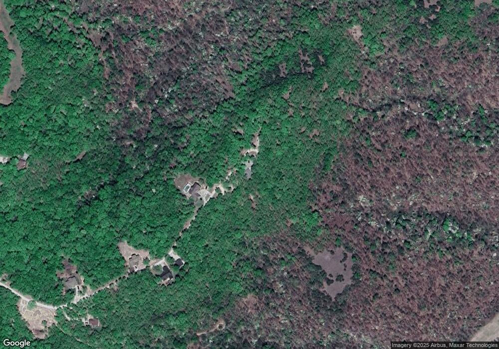
40 Winston Ln Kaiser, MO 65047
Estimated Value: $244,060 - $523,000
Studio
--
Bath
1,680
Sq Ft
$217/Sq Ft
Est. Value
About This Home
This home is located at 40 Winston Ln, Kaiser, MO 65047 and is currently estimated at $364,020, approximately $216 per square foot. 40 Winston Ln is a home with nearby schools including Heritage Elementary School, Osage Upper Elementary School, and Osage Middle School.
Ownership History
Date
Name
Owned For
Owner Type
Purchase Details
Closed on
Aug 28, 2023
Sold by
Campbell Colin W and Campbell Ashley D
Bought by
Campbell Colin W and Campbell Ashley D
Current Estimated Value
Home Financials for this Owner
Home Financials are based on the most recent Mortgage that was taken out on this home.
Original Mortgage
$263,532
Outstanding Balance
$257,493
Interest Rate
6.78%
Mortgage Type
FHA
Estimated Equity
$106,527
Purchase Details
Closed on
Feb 4, 2011
Sold by
Bank Of New York Mellon
Bought by
Hildebrand Ashley and Campbell Colin
Home Financials for this Owner
Home Financials are based on the most recent Mortgage that was taken out on this home.
Original Mortgage
$108,808
Interest Rate
4.86%
Mortgage Type
New Conventional
Purchase Details
Closed on
Jun 7, 2010
Sold by
Kozeny & Mccubbin Lc
Bought by
Bank Of New York Mellon
Create a Home Valuation Report for This Property
The Home Valuation Report is an in-depth analysis detailing your home's value as well as a comparison with similar homes in the area
Purchase History
| Date | Buyer | Sale Price | Title Company |
|---|---|---|---|
| Campbell Colin W | -- | None Listed On Document | |
| Hildebrand Ashley | -- | None Available | |
| Bank Of New York Mellon | $82,350 | None Available |
Source: Public Records
Mortgage History
| Date | Status | Borrower | Loan Amount |
|---|---|---|---|
| Open | Campbell Colin W | $263,532 | |
| Previous Owner | Hildebrand Ashley | $108,808 |
Source: Public Records
Tax History
| Year | Tax Paid | Tax Assessment Tax Assessment Total Assessment is a certain percentage of the fair market value that is determined by local assessors to be the total taxable value of land and additions on the property. | Land | Improvement |
|---|---|---|---|---|
| 2025 | $1,239 | $26,420 | $2,560 | $23,860 |
| 2024 | $1,089 | $23,100 | $2,330 | $20,770 |
| 2023 | $1,117 | $23,100 | $2,330 | $20,770 |
| 2022 | $1,122 | $23,100 | $2,330 | $20,770 |
| 2021 | $1,123 | $23,100 | $2,330 | $20,770 |
| 2020 | $1,070 | $21,670 | $2,330 | $19,340 |
| 2019 | $1,072 | $21,670 | $2,330 | $19,340 |
| 2018 | $1,009 | $19,350 | $2,330 | $17,020 |
| 2017 | $937 | $20,390 | $2,280 | $18,110 |
| 2016 | $924 | $20,390 | $0 | $0 |
| 2015 | -- | $20,390 | $0 | $0 |
| 2012 | -- | $20,440 | $0 | $0 |
Source: Public Records
Map
Nearby Homes
- 21 Winston Ln
- 4 Kathleen Ct
- 12 Sam Dr
- 6 Sam Dr
- 9 Sam Dr
- 3 Mary Dr
- 12 Avery Dr
- 175 Highway D
- 323 Cherry Hill Dr
- Lot 220 & 221 Cherry Hill Dr
- 402 Payne Stewart
- 403 Payne Stewart
- Lot 26A & 27 Bay Hill Ave
- 336 Cherry Hill Ln
- 50 Tom Watson Ct Unit 300 C
- 100 Osage Hills Rd Unit 603
- 100 Osage Hills Rd Unit 201
- 0 Osage River Bridge
- 290 Osage River Bridge
- 125 Arrowhead Dr
