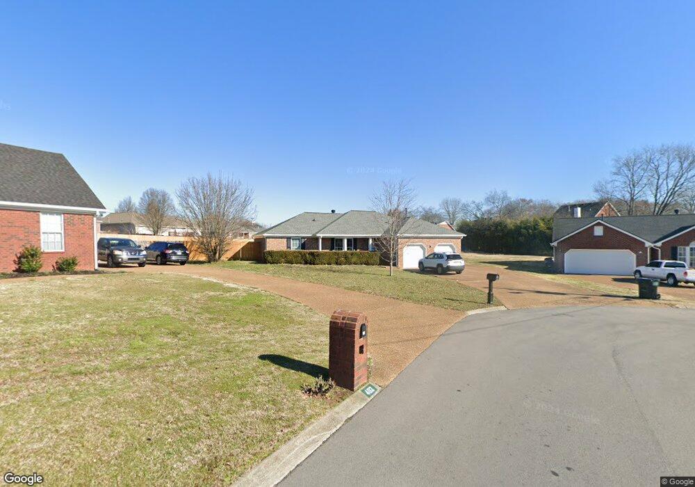
400 Addie Dr Smyrna, TN 37167
Estimated Value: $367,601 - $419,000
--
Bed
2
Baths
1,548
Sq Ft
$253/Sq Ft
Est. Value
About This Home
This home is located at 400 Addie Dr, Smyrna, TN 37167 and is currently estimated at $391,900, approximately $253 per square foot. 400 Addie Dr is a home located in Rutherford County with nearby schools including Rock Springs Elementary School, Rock Springs Middle School, and Stewarts Creek High School.
Ownership History
Date
Name
Owned For
Owner Type
Purchase Details
Closed on
Nov 12, 1997
Sold by
Laster Joseph S
Bought by
Laster Joseph S
Current Estimated Value
Home Financials for this Owner
Home Financials are based on the most recent Mortgage that was taken out on this home.
Original Mortgage
$120,910
Outstanding Balance
$19,826
Interest Rate
7.27%
Estimated Equity
$372,074
Create a Home Valuation Report for This Property
The Home Valuation Report is an in-depth analysis detailing your home's value as well as a comparison with similar homes in the area
Home Values in the Area
Average Home Value in this Area
Purchase History
| Date | Buyer | Sale Price | Title Company |
|---|---|---|---|
| Laster Joseph S | $120,950 | -- |
Source: Public Records
Mortgage History
| Date | Status | Borrower | Loan Amount |
|---|---|---|---|
| Open | Laster Joseph S | $120,910 |
Source: Public Records
Tax History Compared to Growth
Tax History
| Year | Tax Paid | Tax Assessment Tax Assessment Total Assessment is a certain percentage of the fair market value that is determined by local assessors to be the total taxable value of land and additions on the property. | Land | Improvement |
|---|---|---|---|---|
| 2025 | $2,112 | $87,950 | $13,750 | $74,200 |
| 2024 | $2,112 | $87,950 | $13,750 | $74,200 |
| 2023 | $1,923 | $80,050 | $13,750 | $66,300 |
| 2022 | $1,715 | $80,050 | $13,750 | $66,300 |
| 2021 | $1,622 | $55,550 | $12,500 | $43,050 |
| 2020 | $1,622 | $55,550 | $12,500 | $43,050 |
| 2019 | $1,622 | $55,550 | $12,500 | $43,050 |
| 2018 | $1,555 | $55,550 | $0 | $0 |
| 2017 | $1,404 | $39,400 | $0 | $0 |
| 2016 | $1,404 | $39,400 | $0 | $0 |
| 2015 | $1,404 | $39,400 | $0 | $0 |
| 2014 | $980 | $39,400 | $0 | $0 |
| 2013 | -- | $39,150 | $0 | $0 |
Source: Public Records
Map
Nearby Homes
- 649 Woodburn Dr
- 382 Clarkston Dr
- 4015 Wisdom Way
- 3704 Henricks Hill Dr
- 466 Blair Rd
- 464 Blair Rd
- 269 Cornice Dr
- 456 Blair Rd
- 450 Blair Rd
- 440 Blair Rd
- STONEBROOK II Plan at Pottsview
- MILFORD A Plan at Pottsview
- HAYDEN Plan at Pottsview
- SALEM Plan at Pottsview
- 261 Cornice Dr
- 5024 Mary Ellen Cir
- 262 Cornice Dr
- Markham Plan at Portico
- Winchester Plan at Portico
- Wesley Plan at Portico - Townhomes