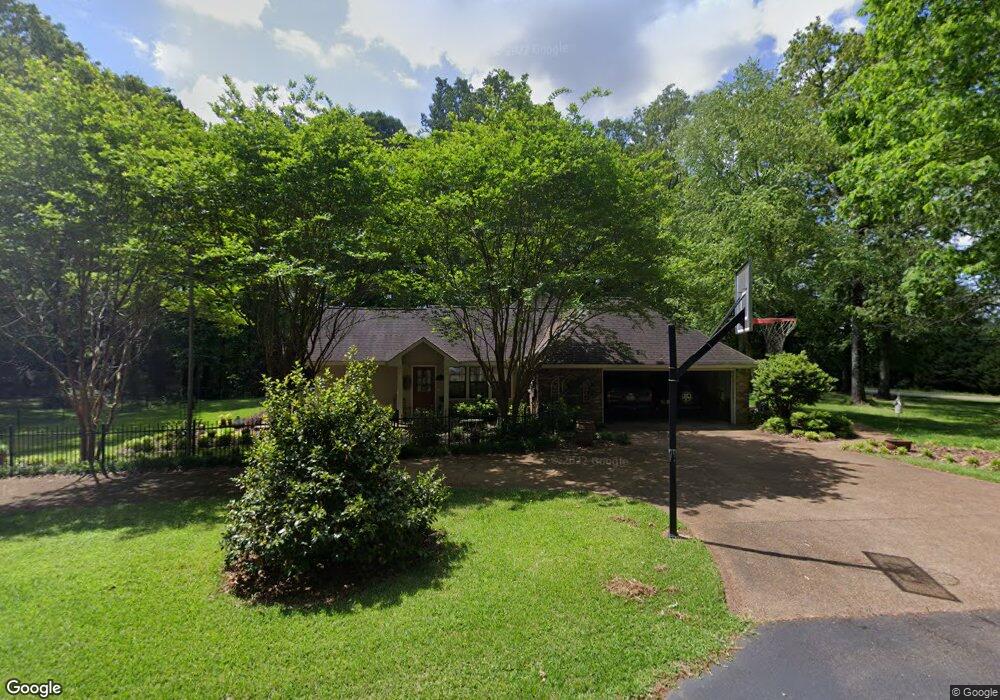
400 Burnham Rd Brandon, MS 39042
Estimated Value: $295,000 - $363,344
About This Home
This home is located at 400 Burnham Rd, Brandon, MS 39042 and is currently estimated at $330,836, approximately $103 per square foot. 400 Burnham Rd is a home located in Rankin County with nearby schools including Rouse Elementary School, Brandon Elementary School, and Stonebridge Elementary School.
Ownership History
We collect this data history from publicly available records. To have your information removed, we recommend requesting removal directly through your county’s website.
Purchase Details
Home Financials for this Owner
Home Financials are based on the most recent Mortgage that was taken out on this home.Home Values in the Area
Average Home Value in this Area
Purchase History
We collect this data history from publicly available records. To have your information removed, we recommend requesting removal directly through your county’s website.
| Date | Buyer | Sale Price | Title Company |
|---|---|---|---|
| -- | -- |
Mortgage History
We collect this data history from publicly available records. To have your information removed, we recommend requesting removal directly through your county’s website.
| Date | Status | Borrower | Loan Amount |
|---|---|---|---|
| Open | $186,000 | ||
| Closed | -- |
Tax History
We collect this data history from publicly available records. To have your information removed, we recommend requesting removal directly through your county’s website.
| Year | Tax Paid | Tax Assessment Tax Assessment Total Assessment is a certain percentage of the fair market value that is determined by local assessors to be the total taxable value of land and additions on the property. | Land | Improvement |
|---|---|---|---|---|
| 2025 | $3,086 | $25,584 | $0 | $0 |
| 2024 | $3,040 | $25,591 | $0 | $0 |
| 2023 | $2,009 | $22,889 | $0 | $0 |
| 2022 | $2,653 | $22,889 | $0 | $0 |
| 2021 | $2,653 | $22,889 | $0 | $0 |
| 2020 | $2,653 | $22,889 | $0 | $0 |
| 2019 | $2,344 | $20,062 | $0 | $0 |
| 2018 | $2,304 | $20,062 | $0 | $0 |
| 2017 | $2,304 | $20,062 | $0 | $0 |
| 2016 | $2,259 | $21,183 | $0 | $0 |
| 2015 | $2,259 | $21,183 | $0 | $0 |
| 2014 | $2,214 | $21,183 | $0 | $0 |
| 2013 | -- | $21,183 | $0 | $0 |
Map
- 501 Asbury Lane Dr
- 225 Burnham Rd
- 0 Asbury Lane Dr Unit 4124886
- 72 Terrapin Dr
- 123 Woodgate Dr
- 2046 S Cobblestone Cove
- 118 Woodcliff Place
- 45 Stonegate Dr
- 43 Stonegate Dr
- 404 Piney Dr
- 105 Longbranch Dr
- 0 Eldorado Cove Unit 4107565
- 63 Willowbrook Ln
- 408 Piney Dr
- 452 Piney Dr
- 450 Piney Dr
- 853 Longwood Place
- 454 Piney Dr
- 418 Piney Dr
- 451 Piney Dr
- 1201 Crossview Ct
- 1227 Crossview Ct
- 1203 Crossview Ct
- 420 Burnham Rd
- 1200 Crossview Ct
- 340 Burnham Rd
- 1225 Crossview Ct
- 1202 Crossview Ct
- 1205 Crossview Ct
- 1226 Crossview Ct
- 1204 Crossview Ct
- 2011 Cross Point Cove
- 1223 Crossview Ct
- 2012 Cross Point Cove
- 1207 Crossview Ct
- 4325 Lakeshore Dr
- 336 Burnham Rd
- 1224 Crossview Ct
- 1206 Crossview Ct
- 2009 Cross Point Cove
Ask me questions while you tour the home.