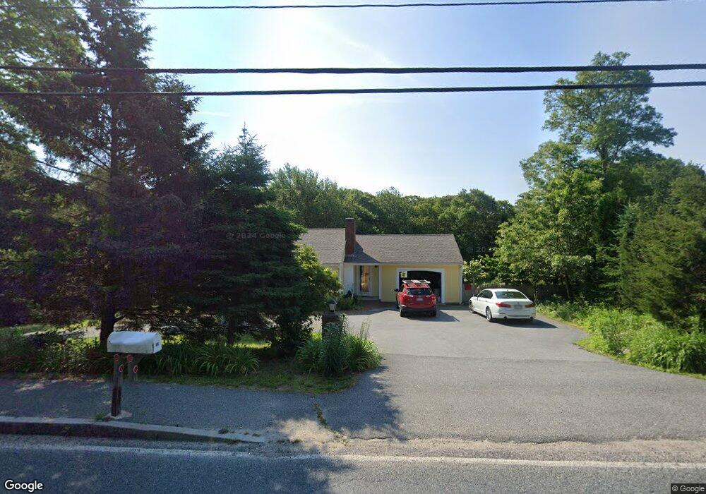
400 Cotuit Rd Marstons Mills, MA 02648
Marstons Mills NeighborhoodEstimated Value: $590,000 - $640,000
3
Beds
2
Baths
1,172
Sq Ft
$520/Sq Ft
Est. Value
About This Home
This home is located at 400 Cotuit Rd, Marstons Mills, MA 02648 and is currently estimated at $609,387, approximately $519 per square foot. 400 Cotuit Rd is a home located in Barnstable County with nearby schools including West Villages Elementary School, Barnstable United Elementary School, and Barnstable Intermediate School.
Ownership History
Date
Name
Owned For
Owner Type
Purchase Details
Closed on
Dec 1, 2021
Sold by
Derosier Sylvia
Bought by
Wiesner David C
Current Estimated Value
Home Financials for this Owner
Home Financials are based on the most recent Mortgage that was taken out on this home.
Original Mortgage
$444,260
Outstanding Balance
$406,805
Interest Rate
3.09%
Mortgage Type
Purchase Money Mortgage
Estimated Equity
$202,582
Purchase Details
Closed on
May 18, 1994
Sold by
Rtc
Bought by
Foote Jerry L and Foote Joan H
Purchase Details
Closed on
Dec 27, 1973
Bought by
Derosier Roger and Derosier Sylvia
Create a Home Valuation Report for This Property
The Home Valuation Report is an in-depth analysis detailing your home's value as well as a comparison with similar homes in the area
Home Values in the Area
Average Home Value in this Area
Purchase History
| Date | Buyer | Sale Price | Title Company |
|---|---|---|---|
| Wiesner David C | $458,000 | None Available | |
| Foote Jerry L | $18,300 | -- | |
| Derosier Roger | -- | -- |
Source: Public Records
Mortgage History
| Date | Status | Borrower | Loan Amount |
|---|---|---|---|
| Open | Wiesner David C | $444,260 | |
| Previous Owner | Derosier Roger | $180,000 | |
| Previous Owner | Derosier Roger | $25,000 |
Source: Public Records
Tax History
| Year | Tax Paid | Tax Assessment Tax Assessment Total Assessment is a certain percentage of the fair market value that is determined by local assessors to be the total taxable value of land and additions on the property. | Land | Improvement |
|---|---|---|---|---|
| 2025 | $4,309 | $532,600 | $170,900 | $361,700 |
| 2024 | $4,142 | $530,300 | $170,900 | $359,400 |
| 2023 | $3,913 | $469,200 | $155,300 | $313,900 |
| 2022 | $3,764 | $390,500 | $115,100 | $275,400 |
| 2021 | $3,517 | $335,300 | $115,100 | $220,200 |
| 2020 | $3,604 | $328,800 | $115,100 | $213,700 |
| 2019 | $3,442 | $305,100 | $115,100 | $190,000 |
| 2018 | $3,190 | $284,300 | $121,100 | $163,200 |
| 2017 | $2,986 | $277,500 | $121,100 | $156,400 |
| 2016 | $2,991 | $274,400 | $118,000 | $156,400 |
| 2015 | $2,919 | $269,000 | $119,900 | $149,100 |
Source: Public Records
Map
Nearby Homes
- 23 Middle Pond Path
- 192 Sandy Valley Rd
- 68 Hilltop Dr
- 585 Old Falmouth Rd
- 1415 Old Post Rd
- 244 Wakeby Rd
- 7 Ebenezer
- 280 Ice Valley Rd
- 359 Baxter Neck Rd
- 31 Galahad Cir
- 15 Geraldine Rd
- 165 Baxter Neck Rd
- 318 Old Mill Rd
- 80 Branch Terrace
- 369 Bumps River Rd
- 78 Brittany Dr
- 98 Bunker Hill Rd
- 87 Foxglove Rd
- 1028 Old Falmouth Rd
- 602 Putnam Ave
- 390 Cotuit Rd
- 390 Massachusetts 149
- 401 Cotuit Rd
- 420 Route 149
- 420 Massachusetts 149
- 420 Cotuit Rd
- 370 Cotuit Rd
- 375 Cotuit Rd
- 370 Route 149
- 23 Cammett Rd
- 356 Cotuit Rd
- 356 Massachusetts 149
- 346 Cotuit Rd
- 33 Papyrus Way
- 359 Cotuit Rd
- 359 Route 149
- 344 Cotuit Rd
- 344 Massachusetts 149
- 794 Mistic Dr
- 437 Cotuit Rd
Your Personal Tour Guide
Ask me questions while you tour the home.