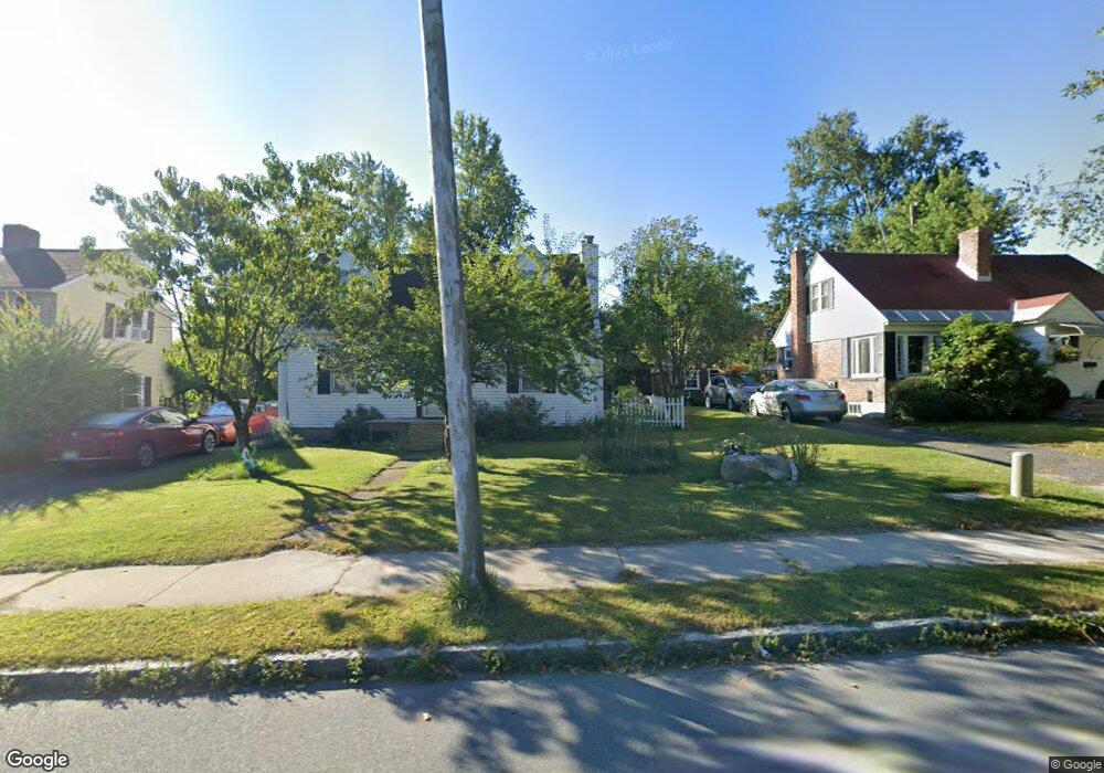
400 Dalton Ave Pittsfield, MA 01201
Estimated Value: $252,022 - $293,000
3
Beds
2
Baths
1,214
Sq Ft
$224/Sq Ft
Est. Value
About This Home
This home is located at 400 Dalton Ave, Pittsfield, MA 01201 and is currently estimated at $272,506, approximately $224 per square foot. 400 Dalton Ave is a home located in Berkshire County with nearby schools including Allendale Elementary School, Theodore Herberg Middle School, and Pittsfield High School.
Ownership History
Date
Name
Owned For
Owner Type
Purchase Details
Closed on
Feb 24, 2004
Sold by
Soule Norman B and Soule Linda A
Bought by
Bourzgui Abdelali and Giovanetti Rita
Current Estimated Value
Home Financials for this Owner
Home Financials are based on the most recent Mortgage that was taken out on this home.
Original Mortgage
$81,000
Interest Rate
5.83%
Mortgage Type
Purchase Money Mortgage
Purchase Details
Closed on
Sep 29, 1995
Sold by
Est Lee Raymond M and Brower Margaret
Bought by
Soule Norman B and Soule Linda A
Home Financials for this Owner
Home Financials are based on the most recent Mortgage that was taken out on this home.
Original Mortgage
$35,000
Interest Rate
7.89%
Mortgage Type
Purchase Money Mortgage
Create a Home Valuation Report for This Property
The Home Valuation Report is an in-depth analysis detailing your home's value as well as a comparison with similar homes in the area
Home Values in the Area
Average Home Value in this Area
Purchase History
| Date | Buyer | Sale Price | Title Company |
|---|---|---|---|
| Bourzgui Abdelali | $117,000 | -- | |
| Bourzgui Abdelali | $117,000 | -- | |
| Soule Norman B | $81,000 | -- | |
| Soule Norman B | $81,000 | -- |
Source: Public Records
Mortgage History
| Date | Status | Borrower | Loan Amount |
|---|---|---|---|
| Open | Soule Norman B | $90,800 | |
| Closed | Soule Norman B | $81,000 | |
| Previous Owner | Soule Norman B | $35,000 |
Source: Public Records
Tax History
| Year | Tax Paid | Tax Assessment Tax Assessment Total Assessment is a certain percentage of the fair market value that is determined by local assessors to be the total taxable value of land and additions on the property. | Land | Improvement |
|---|---|---|---|---|
| 2025 | $3,292 | $183,500 | $66,100 | $117,400 |
| 2024 | $3,066 | $166,200 | $66,100 | $100,100 |
| 2023 | $2,882 | $157,300 | $66,100 | $91,200 |
| 2022 | $2,734 | $147,300 | $66,100 | $81,200 |
| 2021 | $2,570 | $133,500 | $66,100 | $67,400 |
| 2020 | $2,387 | $121,100 | $54,300 | $66,800 |
| 2019 | $2,290 | $117,900 | $49,100 | $68,800 |
| 2018 | $2,337 | $116,800 | $49,100 | $67,700 |
| 2017 | $2,206 | $112,400 | $47,200 | $65,200 |
| 2016 | $2,137 | $113,900 | $47,200 | $66,700 |
| 2015 | $2,057 | $113,900 | $47,200 | $66,700 |
Source: Public Records
Map
Nearby Homes
- 121 Elberon Ave
- 258 Dalton Ave
- 167 E Park Terrace
- 21 Ensign Ave
- 0 Stanley Ave
- 81 Dartmouth St Unit 108
- 91 Dalton Ave
- 607 Crane Ave
- 40 Roland St
- 96 Broadview Terrace
- 74 Norman Ave
- 50 Grand Ave
- 71 Dickinson Ave
- 127 Oak Hill Rd
- I11001904 Scammell Ave
- 1842 East St
- 0 Parker St
- 0 Brown St
- 15 Longfellow Ave
- 0 Faucett Ln
- 404 Dalton Ave
- 396 Dalton Ave
- 297 Connecticut Ave
- 392 Dalton Ave
- 408 Dalton Ave
- 303 Connecticut Ave
- 289 Connecticut Ave
- 414 Dalton Ave
- 307 Connecticut Ave
- 283 Connecticut Ave
- 388 Dalton Ave
- 401 Dalton Ave
- 277 Connecticut Ave
- 409 Dalton Ave
- 420 Dalton Ave
- 395 Dalton Ave
- 315 Connecticut Ave
- 415 Dalton Ave
- 391 Dalton Ave
- 292 Connecticut Ave
Your Personal Tour Guide
Ask me questions while you tour the home.