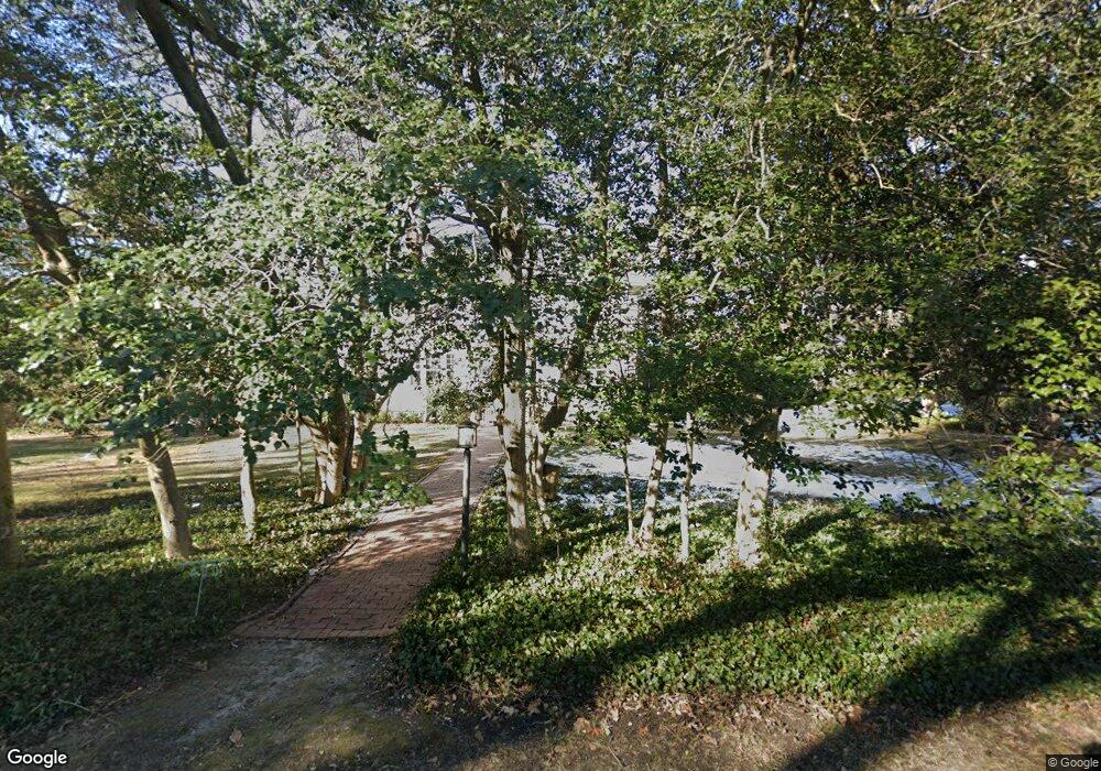
400 Duncan St Ashland, VA 23005
Estimated Value: $654,000 - $766,000
4
Beds
3
Baths
2,846
Sq Ft
$250/Sq Ft
Est. Value
About This Home
This home is located at 400 Duncan St, Ashland, VA 23005 and is currently estimated at $711,206, approximately $249 per square foot. 400 Duncan St is a home located in Hanover County with nearby schools including Henry Clay Elementary School, Liberty Middle School, and Patrick Henry High School.
Ownership History
Date
Name
Owned For
Owner Type
Purchase Details
Closed on
Jun 26, 2017
Sold by
Wright Michael Alden and Brooks Anne Wright
Bought by
Copeland William V and Copeland Margaret C
Current Estimated Value
Home Financials for this Owner
Home Financials are based on the most recent Mortgage that was taken out on this home.
Original Mortgage
$336,000
Outstanding Balance
$280,151
Interest Rate
4.02%
Mortgage Type
New Conventional
Estimated Equity
$431,055
Create a Home Valuation Report for This Property
The Home Valuation Report is an in-depth analysis detailing your home's value as well as a comparison with similar homes in the area
Home Values in the Area
Average Home Value in this Area
Purchase History
| Date | Buyer | Sale Price | Title Company |
|---|---|---|---|
| Copeland William V | $420,000 | Bridgetrust Title Group |
Source: Public Records
Mortgage History
| Date | Status | Borrower | Loan Amount |
|---|---|---|---|
| Open | Copeland William V | $336,000 |
Source: Public Records
Tax History
| Year | Tax Paid | Tax Assessment Tax Assessment Total Assessment is a certain percentage of the fair market value that is determined by local assessors to be the total taxable value of land and additions on the property. | Land | Improvement |
|---|---|---|---|---|
| 2025 | $4,607 | $568,800 | $123,900 | $444,900 |
| 2024 | $4,607 | $568,800 | $123,900 | $444,900 |
| 2023 | $4,076 | $529,300 | $111,900 | $417,400 |
| 2022 | $3,664 | $452,400 | $99,900 | $352,500 |
| 2021 | $3,491 | $431,000 | $99,900 | $331,100 |
| 2020 | $3,316 | $409,400 | $99,900 | $309,500 |
| 2019 | $3,346 | $413,100 | $99,100 | $314,000 |
| 2018 | $3,346 | $413,100 | $99,100 | $314,000 |
| 2017 | $2,769 | $341,800 | $93,600 | $248,200 |
| 2016 | $2,769 | $341,800 | $93,600 | $248,200 |
| 2015 | $2,076 | $341,800 | $93,600 | $248,200 |
| 2014 | $2,076 | $341,800 | $93,600 | $248,200 |
Source: Public Records
Map
Nearby Homes
- 709 Virginia St
- Lot 73 Lauradell Rd
- 107 Five Oaks Ln
- 12316 Kilbourne Hill Dr
- 12108 Grandview Hill Ct
- 302 Myrtle St Unit D
- 6 Courtside Ln
- 303 N Snead St
- 0 N Snead St
- 408 John St
- 408 Wesley St
- 104 Linden St
- 11503 Ashcake Rd
- 118 Lauradell Rd
- 213 Berkley St
- 215 Lauradell Rd
- 102 Brookneal Aly
- 720 Chapman St
- 11276 Gwathmey Church Rd
- 728 Chapman St
- 402 Duncan St
- 203 Howard St
- 107 Howard St
- 200 Howard St
- 202 Howard St
- 108 Race Course St
- 205 Howard St
- 204 Howard St
- 208 Race Course St
- 110 Howard St
- 203 Race Course St
- 201 Race Course St
- 205 Race Course St
- 108 Howard St
- 105 Howard St
- 206 Howard St
- 207 Howard St
- 207 Race Course St
- 106 Race Course St
- 322 Duncan St
Your Personal Tour Guide
Ask me questions while you tour the home.