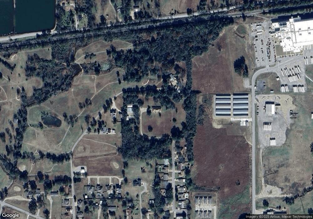
400 Juniper Ln Muldrow, OK 74948
Estimated Value: $283,000 - $541,915
3
Beds
3
Baths
3,866
Sq Ft
$107/Sq Ft
Est. Value
About This Home
This home is located at 400 Juniper Ln, Muldrow, OK 74948 and is currently estimated at $412,458, approximately $106 per square foot. 400 Juniper Ln is a home with nearby schools including Muldrow Elementary School, Muldrow Middle School, and Muldrow High School.
Ownership History
Date
Name
Owned For
Owner Type
Purchase Details
Closed on
Dec 16, 2024
Sold by
Cash Alice M
Bought by
Cash Belinda A
Current Estimated Value
Purchase Details
Closed on
Nov 26, 2024
Sold by
Montgomery Schuyler and Montgomery Bobbie
Bought by
Rice Garrett and Rice Mallori
Purchase Details
Closed on
Oct 24, 2024
Sold by
Parkey Hubert J and Parkey Patricia
Bought by
Barnhill Darren and Barnhill Lisa
Purchase Details
Closed on
Sep 20, 2024
Sold by
Choate Vickie Starr and Finch Vickie Starr
Bought by
Starr Woodrow and Starr Cooper
Purchase Details
Closed on
May 31, 2024
Sold by
Barnes Heather Rae
Bought by
Barnes Heather Rae and Housing Authority Of The Cherokee Nation Of O
Purchase Details
Closed on
Oct 23, 2023
Sold by
Lookebill Gary and Lookebill Everlyn
Bought by
Lily Love Land Trust and Lookebill
Create a Home Valuation Report for This Property
The Home Valuation Report is an in-depth analysis detailing your home's value as well as a comparison with similar homes in the area
Home Values in the Area
Average Home Value in this Area
Purchase History
| Date | Buyer | Sale Price | Title Company |
|---|---|---|---|
| Cash Belinda A | -- | None Listed On Document | |
| Rice Garrett | $190,000 | Valley Land Title | |
| Rice Garrett | $190,000 | Valley Land Title | |
| Barnhill Darren | $15,000 | Valley Land Title | |
| Starr Woodrow | -- | None Listed On Document | |
| Barnes Heather Rae | -- | None Listed On Document | |
| Lily Love Land Trust | -- | None Listed On Document | |
| Lily Love Land Trust | -- | None Listed On Document |
Source: Public Records
Tax History Compared to Growth
Tax History
| Year | Tax Paid | Tax Assessment Tax Assessment Total Assessment is a certain percentage of the fair market value that is determined by local assessors to be the total taxable value of land and additions on the property. | Land | Improvement |
|---|---|---|---|---|
| 2025 | $1,859 | $27,163 | $4,664 | $22,499 |
| 2024 | $1,859 | $26,371 | $4,528 | $21,843 |
| 2023 | $1,803 | $25,604 | $4,492 | $21,112 |
| 2022 | $1,695 | $24,858 | $4,444 | $20,414 |
| 2021 | $1,644 | $24,859 | $4,516 | $20,343 |
| 2020 | $1,594 | $23,431 | $4,270 | $19,161 |
| 2019 | $1,545 | $22,749 | $4,153 | $18,596 |
| 2018 | $1,498 | $22,086 | $3,984 | $18,102 |
| 2017 | $1,453 | $21,443 | $834 | $20,609 |
| 2016 | $1,408 | $20,818 | $789 | $20,029 |
| 2015 | $1,365 | $20,212 | $749 | $19,463 |
| 2014 | $1,323 | $19,623 | $710 | $18,913 |
Source: Public Records
Map
Nearby Homes
- 505 Juniper Ln
- 503 S Dogwood St
- 904 Short St
- 1009 SE 10th St
- 450 Stockton Ln
- 302 E Shawntel Smith Blvd
- 107 7th St
- 103756 Oklahoma 64b
- 103 NE 1st St
- 802 S Main St
- 701 S Ada St
- 304 Oakdale Rd
- 1114 S Dogwood St
- 806 S Ada St
- 201 9th St
- 1104 Bran Britt Ln
- 203 Pendergrass St
- 110 Water Tower Rd
- 908 Cherry Loop
- 110662 S 4750 Rd
