400 S Stockton Ln Muldrow, OK 74948
Estimated Value: $227,000 - $371,000
3
Beds
2
Baths
1,712
Sq Ft
$170/Sq Ft
Est. Value
About This Home
This home is located at 400 S Stockton Ln, Muldrow, OK 74948 and is currently estimated at $291,870, approximately $170 per square foot. 400 S Stockton Ln is a home located in Sequoyah County with nearby schools including Muldrow Elementary School, Muldrow Middle School, and Muldrow High School.
Ownership History
Date
Name
Owned For
Owner Type
Purchase Details
Closed on
Apr 27, 2006
Sold by
Brown David and Brown Dayla
Bought by
Webb James Michael and Webb Tammy
Current Estimated Value
Home Financials for this Owner
Home Financials are based on the most recent Mortgage that was taken out on this home.
Original Mortgage
$104,633
Interest Rate
6.33%
Mortgage Type
Future Advance Clause Open End Mortgage
Create a Home Valuation Report for This Property
The Home Valuation Report is an in-depth analysis detailing your home's value as well as a comparison with similar homes in the area
Home Values in the Area
Average Home Value in this Area
Purchase History
| Date | Buyer | Sale Price | Title Company |
|---|---|---|---|
| Webb James Michael | $15,000 | None Available |
Source: Public Records
Mortgage History
| Date | Status | Borrower | Loan Amount |
|---|---|---|---|
| Previous Owner | Webb James Michael | $104,633 |
Source: Public Records
Tax History Compared to Growth
Tax History
| Year | Tax Paid | Tax Assessment Tax Assessment Total Assessment is a certain percentage of the fair market value that is determined by local assessors to be the total taxable value of land and additions on the property. | Land | Improvement |
|---|---|---|---|---|
| 2024 | $1,397 | $20,056 | $1,381 | $18,675 |
| 2023 | $1,354 | $19,472 | $1,381 | $18,091 |
| 2022 | $1,272 | $18,905 | $1,381 | $17,524 |
| 2021 | $1,233 | $18,354 | $1,386 | $16,968 |
| 2020 | $1,233 | $18,354 | $1,386 | $16,968 |
| 2019 | $1,225 | $18,245 | $1,386 | $16,859 |
| 2018 | $1,188 | $17,715 | $1,386 | $16,329 |
| 2017 | $1,151 | $17,199 | $1,386 | $15,813 |
| 2016 | $1,164 | $17,380 | $1,386 | $15,994 |
| 2015 | $1,176 | $17,551 | $1,386 | $16,165 |
| 2014 | $1,168 | $17,441 | $1,363 | $16,078 |
Source: Public Records
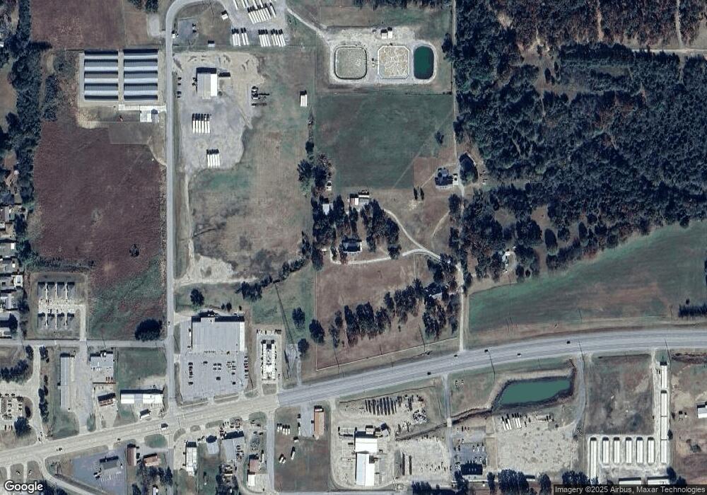
Map
Nearby Homes
- 304 Oakdale Rd
- 103 NE 1st St
- 505 Juniper Ln
- 110662 S 4750 Rd
- 503 S Dogwood St
- 203 Pendergrass St
- 101 NE 2nd St
- 1 Oklahoma 64b
- 103756 Oklahoma 64b
- Tbd Water Tower Rd
- 109365 S 4749 Rd
- 107 7th St
- 302 E Shawntel Smith Blvd
- 701 S Ada St
- 806 S Ada St
- 1114 S Dogwood St
- 201 9th St
- 473925 E 1117 Rd
- 404 W Sequoyah St
- 300 S Fargo St
- TBD Stockton Ln
- 500 N Stockton Ln
- 550 N Stockton Ln
- 306 Oakdale Rd
- 308 Oakdale Rd
- 307 Oakdale Rd
- 311 Oakdale Rd
- 2105 Cherokee Rd
- 314 Oakdale Rd
- 500 N Stanton Ln
- 317 Oakdale Rd
- 1101 NE 1st St
- 1101 1/2 NE 1st St
- 109951 S 4743 Rd
- 1003 NE 1st St
- 474388 E 1100 Rd
- 909 Cherokee Rd
- 1001 NE 1st St
- 1007 NE 1st St
- 111140 S 4760 Rd Unit A