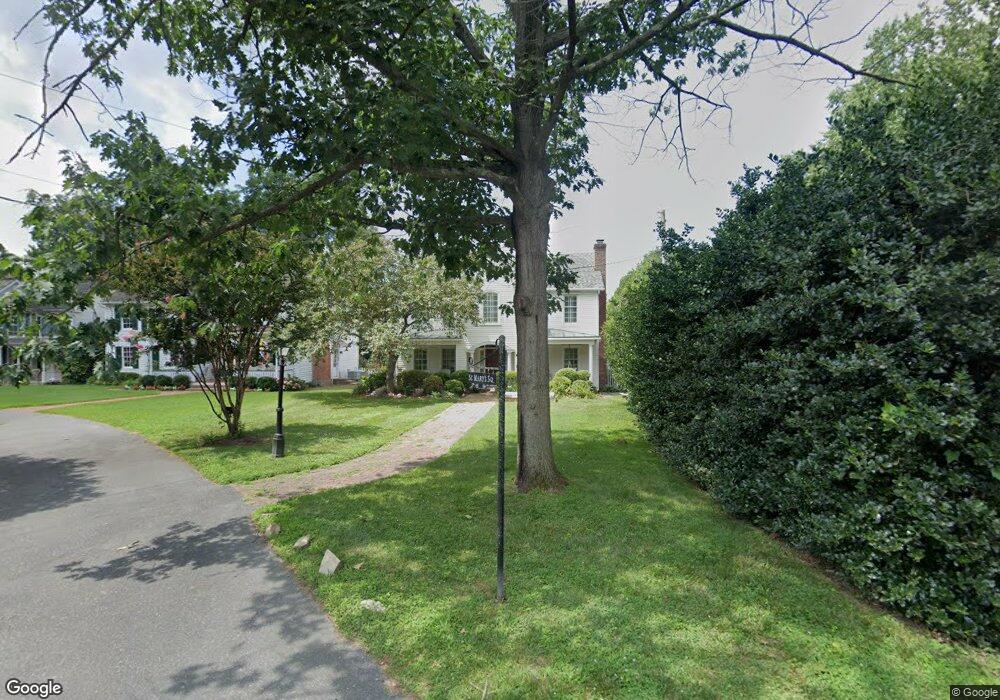
400 St Marys Square A Saint Michaels, MD 21663
Estimated Value: $1,137,810 - $1,442,000
--
Bed
3
Baths
3,338
Sq Ft
$395/Sq Ft
Est. Value
About This Home
This home is located at 400 St Marys Square A, Saint Michaels, MD 21663 and is currently estimated at $1,318,703, approximately $395 per square foot. 400 St Marys Square A is a home located in Talbot County with nearby schools including St. Michaels Elementary School, St. Michaels Middle/High School, and Easton High School.
Ownership History
Date
Name
Owned For
Owner Type
Purchase Details
Closed on
Jun 11, 1994
Sold by
Mosner Edward F and Mosner Daisy A
Bought by
Conway Daniel J
Current Estimated Value
Purchase Details
Closed on
Dec 20, 1993
Sold by
Rbj, Inc.
Bought by
Mosner Edward F and Mosner Daisy A T
Home Financials for this Owner
Home Financials are based on the most recent Mortgage that was taken out on this home.
Original Mortgage
$126,000
Interest Rate
7.17%
Create a Home Valuation Report for This Property
The Home Valuation Report is an in-depth analysis detailing your home's value as well as a comparison with similar homes in the area
Home Values in the Area
Average Home Value in this Area
Purchase History
| Date | Buyer | Sale Price | Title Company |
|---|---|---|---|
| Conway Daniel J | $145,000 | -- | |
| Mosner Edward F | $140,000 | -- |
Source: Public Records
Mortgage History
| Date | Status | Borrower | Loan Amount |
|---|---|---|---|
| Previous Owner | Mosner Edward F | $126,000 | |
| Closed | Conway Daniel J | -- |
Source: Public Records
Tax History Compared to Growth
Tax History
| Year | Tax Paid | Tax Assessment Tax Assessment Total Assessment is a certain percentage of the fair market value that is determined by local assessors to be the total taxable value of land and additions on the property. | Land | Improvement |
|---|---|---|---|---|
| 2025 | $9,642 | $799,200 | $376,900 | $422,300 |
| 2024 | $9,642 | $780,967 | $0 | $0 |
| 2023 | $9,141 | $762,733 | $0 | $0 |
| 2022 | $8,614 | $744,500 | $376,900 | $367,600 |
| 2021 | $8,312 | $741,267 | $0 | $0 |
| 2020 | $8,459 | $738,033 | $0 | $0 |
| 2019 | $8,346 | $734,800 | $345,300 | $389,500 |
| 2018 | $7,912 | $715,933 | $0 | $0 |
| 2017 | $6,729 | $697,067 | $0 | $0 |
| 2016 | $6,527 | $678,200 | $0 | $0 |
| 2015 | $8,024 | $678,200 | $0 | $0 |
| 2014 | $8,024 | $678,200 | $0 | $0 |
Source: Public Records
Map
Nearby Homes
- 107 E Chestnut St
- 222 E Chestnut St
- 100 Grace St
- 216 E Chew Ave
- 704 Meadow St
- Lot 16A Meadow St
- 105 Seymour Ave
- 102 Gloria Ave
- 25500 Chance Farm Rd
- 0 Grace St Unit MDTA2012346
- 807 Radcliff Ave
- 408 Spinnaker Ln
- 207 Dodson Ave
- 209 Webb Ln
- 300 Perry St
- 216 Brooks Ln
- 912 Calvert Ave
- 228 Tyler Ave
- 24390 Oakwood Park Rd
- 24318 Oakwood Park Rd
- 200 Mulberry St
- 104 Saint Marys Square
- 400 St Marys Square
- 400 Saint Michaels Rd
- 400A Saint Marys Square
- 400 Saint Marys Square
- 402 Saint Marys Square
- 406 Water St
- 400 St Mary's Square
- 100 Mulberry St
- 100 Mulberry St Unit C
- 206 Mulberry St
- 404 Water St
- 413 N Talbot St Unit A
- 413 N Talbot St Unit B
- 413 N Talbot St Unit 4
- 413 N Talbot St Unit UPPER RIGHT
- 413 N Talbot St
- 413 N Talbot St Unit 2ND FLOOR LEFT
- 413 N Talbot St Unit UPPER LEFT