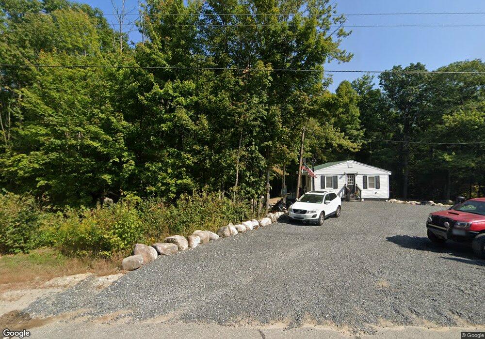
400 State Route 11 New Durham, NH 03855
Estimated Value: $265,000 - $349,000
2
Beds
1
Bath
1,072
Sq Ft
$304/Sq Ft
Est. Value
About This Home
This home is located at 400 State Route 11, New Durham, NH 03855 and is currently estimated at $325,355, approximately $303 per square foot. 400 State Route 11 is a home located in Strafford County with nearby schools including New Durham Elementary School, Kingswood Regional Middle School, and Kingswood Regional High School.
Ownership History
Date
Name
Owned For
Owner Type
Purchase Details
Closed on
Mar 21, 2023
Sold by
Moore Kathleen E
Bought by
Alicea Trevor and Lucias Nina
Current Estimated Value
Home Financials for this Owner
Home Financials are based on the most recent Mortgage that was taken out on this home.
Original Mortgage
$215,000
Outstanding Balance
$207,750
Interest Rate
6.12%
Mortgage Type
Purchase Money Mortgage
Estimated Equity
$117,605
Create a Home Valuation Report for This Property
The Home Valuation Report is an in-depth analysis detailing your home's value as well as a comparison with similar homes in the area
Home Values in the Area
Average Home Value in this Area
Purchase History
| Date | Buyer | Sale Price | Title Company |
|---|---|---|---|
| Alicea Trevor | $280,000 | None Available |
Source: Public Records
Mortgage History
| Date | Status | Borrower | Loan Amount |
|---|---|---|---|
| Open | Alicea Trevor | $215,000 |
Source: Public Records
Tax History Compared to Growth
Tax History
| Year | Tax Paid | Tax Assessment Tax Assessment Total Assessment is a certain percentage of the fair market value that is determined by local assessors to be the total taxable value of land and additions on the property. | Land | Improvement |
|---|---|---|---|---|
| 2024 | $3,297 | $169,700 | $63,300 | $106,400 |
| 2023 | $3,394 | $169,700 | $63,300 | $106,400 |
| 2022 | $2,328 | $129,900 | $63,300 | $66,600 |
| 2021 | $2,320 | $129,900 | $63,300 | $66,600 |
| 2020 | $6,387 | $129,900 | $63,300 | $66,600 |
| 2019 | $6,225 | $88,300 | $34,500 | $53,800 |
| 2018 | $2,062 | $88,300 | $34,500 | $53,800 |
| 2017 | $5,861 | $88,300 | $34,500 | $53,800 |
| 2016 | $2,010 | $88,300 | $34,500 | $53,800 |
| 2015 | $1,956 | $88,300 | $34,500 | $53,800 |
| 2014 | $2,358 | $107,900 | $50,700 | $57,200 |
| 2013 | $2,428 | $107,900 | $50,700 | $57,200 |
Source: Public Records
Map
Nearby Homes
- 0 Route 11 Lots 42-1&2
- 0 New Hampshire 11
- 366 New Hampshire 11
- 56 Quaker Rd
- 364 State Route 11
- 359 State Route 11
- 46 Quaker Rd
- 46-D Quaker Rd
- 42 Quaker Rd
- 62 Quaker Rd
- 32 Quaker Rd
- 1223 Henry Wilson Hwy
- 1223 Henry Wilson Hwy (Route 11)
- 49 Quaker Rd
- 1223 Nh Route 11
- 1223 Nh Route 11
- 1223 Nh Route 11 Unit C
- 66 Quaker Rd
- 45 Quaker Rd
- 68 Quaker Rd