4000 N Rogers Hwy Unit BLK Britton, MI 49229
Estimated Value: $91,000 - $139,811
--
Bed
--
Bath
--
Sq Ft
35
Acres
About This Home
This home is located at 4000 N Rogers Hwy Unit BLK, Britton, MI 49229 and is currently estimated at $113,604. 4000 N Rogers Hwy Unit BLK is a home located in Lenawee County with nearby schools including Tecumseh Middle School and Tecumseh High School.
Ownership History
Date
Name
Owned For
Owner Type
Purchase Details
Closed on
Oct 2, 2018
Sold by
Hannah Robet and Hannah Sarah
Bought by
Sisty Jonathan
Current Estimated Value
Home Financials for this Owner
Home Financials are based on the most recent Mortgage that was taken out on this home.
Original Mortgage
$72,000
Outstanding Balance
$59,917
Interest Rate
4.5%
Mortgage Type
Unknown
Estimated Equity
$58,787
Purchase Details
Closed on
Jan 13, 2009
Sold by
Calhoun Gloria and Leslie Calhoun J
Bought by
Mcgraw Doonan D and Mcgraw Phyllis A
Purchase Details
Closed on
Aug 10, 1990
Bought by
Mcgraw Doonan D and Mcgraw Phyllis
Create a Home Valuation Report for This Property
The Home Valuation Report is an in-depth analysis detailing your home's value as well as a comparison with similar homes in the area
Home Values in the Area
Average Home Value in this Area
Purchase History
| Date | Buyer | Sale Price | Title Company |
|---|---|---|---|
| Sisty Jonathan | $90,000 | -- | |
| Mcgraw Doonan D | -- | None Available | |
| Mcgraw Doonan D | -- | -- |
Source: Public Records
Mortgage History
| Date | Status | Borrower | Loan Amount |
|---|---|---|---|
| Open | Sisty Jonathan | $72,000 |
Source: Public Records
Tax History Compared to Growth
Tax History
| Year | Tax Paid | Tax Assessment Tax Assessment Total Assessment is a certain percentage of the fair market value that is determined by local assessors to be the total taxable value of land and additions on the property. | Land | Improvement |
|---|---|---|---|---|
| 2024 | $1,067 | $40,300 | $0 | $0 |
| 2022 | $1,262 | $27,000 | $0 | $0 |
| 2021 | $1,360 | $27,000 | $0 | $0 |
| 2020 | $1,360 | $27,000 | $0 | $0 |
| 2019 | $110,966 | $27,000 | $0 | $0 |
| 2018 | $1,451 | $26,951 | $0 | $0 |
| 2017 | $1,433 | $26,951 | $0 | $0 |
| 2016 | $2,541 | $49,002 | $0 | $0 |
| 2014 | -- | $39,797 | $0 | $0 |
Source: Public Records
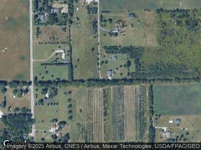
Map
Nearby Homes
- 4095 Samantha Dr
- 4126 Kopke Rd
- 3410 Leeomi Dr
- 3717 Sutton Rd
- 3284 Sutton Rd
- 3202 Sutton Rd
- 3681 Torin Ln
- 3808 Torin Ln Unit Parcel J
- 3811 Torin Ln Unit Parcel G
- 3814 Torin Ln Unit Parcel I
- 6000 Occidental Hwy Unit 6000 Blk Occidental
- 4339 Dorset Dr
- 2804 N Wilmoth Hwy
- 4221 Haven Ct
- 2600 Sutton Rd
- 4209 Occidental Hwy
- 2000 Sutton Rd Unit Parcel C
- 2000 Sutton Rd Unit Parcel B
- 807 War Bonnet Dr
- 107 W Russell Rd