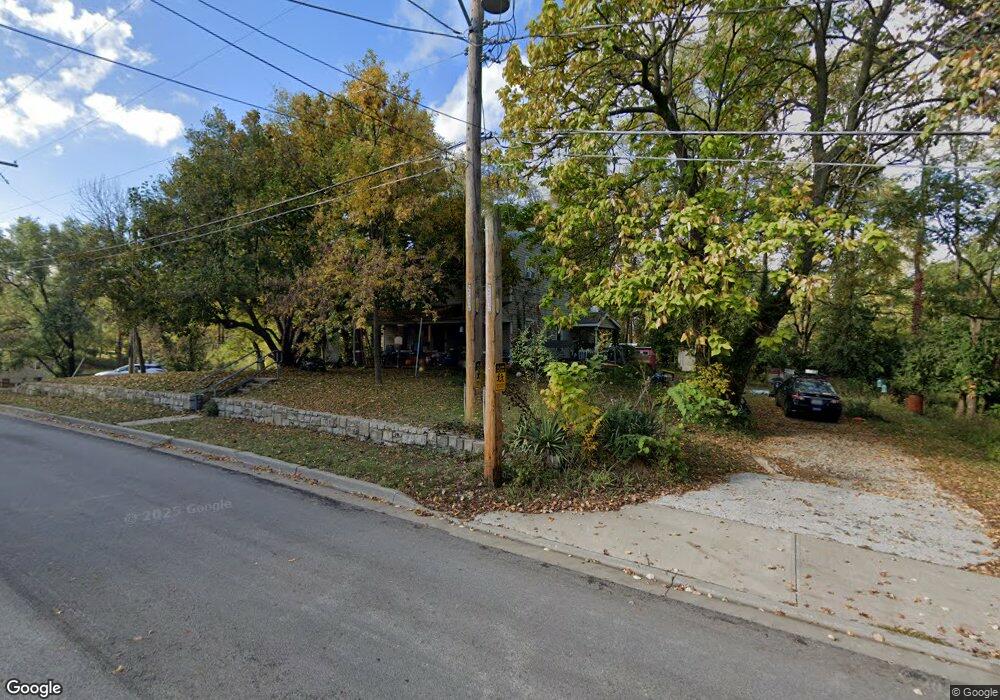
4000 NW 52nd St Riverside, MO 64150
Parkdale-Walden NeighborhoodEstimated Value: $196,000 - $271,000
3
Beds
1
Bath
1,296
Sq Ft
$182/Sq Ft
Est. Value
About This Home
This home is located at 4000 NW 52nd St, Riverside, MO 64150 and is currently estimated at $235,900, approximately $182 per square foot. 4000 NW 52nd St is a home located in Platte County with nearby schools including Southeast Elementary School, Lakeview Middle School, and Plaza Middle School.
Ownership History
Date
Name
Owned For
Owner Type
Purchase Details
Closed on
May 2, 2024
Sold by
Samborski Mark
Bought by
Mark Samborski Revocable Living Trust and Samborski
Current Estimated Value
Purchase Details
Closed on
Jul 22, 2016
Sold by
Samborski Mark L
Bought by
Samborski Kimberley Ann
Purchase Details
Closed on
Dec 13, 2005
Sold by
Blacksher Michael and Blacksher Beverly Sue
Bought by
Samborski Mark
Create a Home Valuation Report for This Property
The Home Valuation Report is an in-depth analysis detailing your home's value as well as a comparison with similar homes in the area
Home Values in the Area
Average Home Value in this Area
Purchase History
| Date | Buyer | Sale Price | Title Company |
|---|---|---|---|
| Mark Samborski Revocable Living Trust | -- | None Listed On Document | |
| Samborski Kimberley Ann | -- | None Available | |
| Samborski Mark L | -- | None Available | |
| Samborski Mark | -- | Kansas City Title |
Source: Public Records
Tax History Compared to Growth
Tax History
| Year | Tax Paid | Tax Assessment Tax Assessment Total Assessment is a certain percentage of the fair market value that is determined by local assessors to be the total taxable value of land and additions on the property. | Land | Improvement |
|---|---|---|---|---|
| 2024 | $1,783 | $22,269 | $4,571 | $17,698 |
| 2023 | $1,783 | $22,269 | $4,571 | $17,698 |
| 2022 | $1,609 | $19,449 | $4,571 | $14,878 |
| 2021 | $1,614 | $19,449 | $4,571 | $14,878 |
| 2020 | $1,405 | $17,016 | $2,850 | $14,166 |
| 2019 | $1,405 | $17,016 | $2,850 | $14,166 |
| 2018 | $1,430 | $17,016 | $2,850 | $14,166 |
| 2017 | $1,418 | $17,016 | $2,850 | $14,166 |
| 2016 | $1,427 | $17,016 | $2,850 | $14,166 |
| 2015 | $1,431 | $17,016 | $2,850 | $14,166 |
| 2013 | $1,413 | $17,016 | $0 | $0 |
Source: Public Records
Map
Nearby Homes
- 5237 N Merrimac Ave
- 5003 NW High Drive Terrace
- 4860 NW Huonker Rd
- 4815 NW Huonker Rd
- 4850 NW Huonker Rd
- 5018 NW Huonker Rd
- 4813 NW Northwood Rd
- 4405 NW 50th Terrace
- 5406 N Northwood Rd
- 4825 NW Martin Dr
- 4509 NW 50th Terrace
- 4935 NW Martin Dr
- 4845 NW Martin Dr
- 4835 NW Martin Dr
- 4953 NW High Dr
- 4816 NW High Dr
- Fairfield Expanded Plan at Bella Ridge
- Sonoma Plan at Bella Ridge
- Monterey Plan at Bella Ridge
- Bristol Plan at Bella Ridge
- 4017 NW 52nd St
- 4100 NW 52nd St
- 5125 N Merrimac Ave
- 5125 NW Merrimac Ave
- 4011 NW 52nd St
- 4201 NW 52nd St
- 5216 NW Hillside Dr
- 4007 NW 52nd St
- 5116 N Merrimac Ave
- 5119 N Merrimac Ave
- 5119 NW Merrimac Ave
- 4005 NW 52nd St
- 5223 N Merrimac Ave
- 5114 N Merrimac Ave
- 4209 NW 52nd St
- 5115 N Merrimac Ave
- 4003 NW 52nd St
- 5112 N Merrimac Ave
- 5112 NW Merrimac Ave
- 4210 NW 52nd St