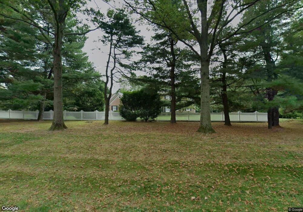
4001 Smoke Rd Doylestown, PA 18902
Estimated Value: $891,924 - $1,072,000
4
Beds
4
Baths
3,426
Sq Ft
$297/Sq Ft
Est. Value
About This Home
This home is located at 4001 Smoke Rd, Doylestown, PA 18902 and is currently estimated at $1,017,481, approximately $296 per square foot. 4001 Smoke Rd is a home located in Bucks County with nearby schools including Linden El School, Holicong Middle School, and Central Bucks High School - East.
Ownership History
Date
Name
Owned For
Owner Type
Purchase Details
Closed on
Jun 7, 2010
Sold by
The Grsw Stewart Real Estate Trust
Bought by
Uhrlass Richard D and Uhrlass Ann K
Current Estimated Value
Purchase Details
Closed on
Jul 3, 2009
Sold by
Edwards Charles J and Edwards Lisa J
Bought by
The Grsw Stewart Real Estate Trust
Purchase Details
Closed on
Aug 12, 2005
Sold by
Manion Thomas E and Manion Jannette L
Bought by
Edwards Charles J and Edwards Lisa J
Home Financials for this Owner
Home Financials are based on the most recent Mortgage that was taken out on this home.
Original Mortgage
$548,000
Interest Rate
5.81%
Mortgage Type
Fannie Mae Freddie Mac
Create a Home Valuation Report for This Property
The Home Valuation Report is an in-depth analysis detailing your home's value as well as a comparison with similar homes in the area
Home Values in the Area
Average Home Value in this Area
Purchase History
| Date | Buyer | Sale Price | Title Company |
|---|---|---|---|
| Uhrlass Richard D | $585,000 | None Available | |
| The Grsw Stewart Real Estate Trust | $585,000 | None Available | |
| Edwards Charles J | $685,000 | None Available |
Source: Public Records
Mortgage History
| Date | Status | Borrower | Loan Amount |
|---|---|---|---|
| Previous Owner | Edwards Charles J | $548,000 |
Source: Public Records
Tax History
| Year | Tax Paid | Tax Assessment Tax Assessment Total Assessment is a certain percentage of the fair market value that is determined by local assessors to be the total taxable value of land and additions on the property. | Land | Improvement |
|---|---|---|---|---|
| 2025 | $8,950 | $54,970 | $11,480 | $43,490 |
| 2024 | $8,950 | $54,970 | $11,480 | $43,490 |
| 2023 | $8,646 | $54,970 | $11,480 | $43,490 |
| 2022 | $8,543 | $54,970 | $11,480 | $43,490 |
| 2021 | $8,441 | $54,970 | $11,480 | $43,490 |
| 2020 | $8,441 | $54,970 | $11,480 | $43,490 |
| 2019 | $8,386 | $54,970 | $11,480 | $43,490 |
| 2018 | $7,780 | $51,000 | $11,480 | $39,520 |
| 2017 | $7,716 | $51,000 | $11,480 | $39,520 |
| 2016 | -- | $51,000 | $11,480 | $39,520 |
| 2015 | -- | $51,000 | $11,480 | $39,520 |
| 2014 | -- | $51,000 | $11,480 | $39,520 |
Source: Public Records
Map
Nearby Homes
- 3795 Route 202
- 3775 Buckingham Dr
- 607 S Chubb Dr
- 45 Creek Dr
- 2980 Yorkshire Rd
- 34 Houk Rd
- 2918 Snake Hill Rd
- 3889 Robin Rd
- 3689 Hancock Ln
- 45 Springs Dr
- 3960 S Mallard Ln
- 333 Lacey Ave Unit B9
- 4533 Deep Creek Way
- 000 Cherry Ln
- 146 E Court St
- 150 Selner Ln
- 150 Watercrest Dr
- 223 Cherry Ln
- 169 N Main St
- 102 Clear Springs Ct
- 4013 Smoke Rd
- 3965 Smoke Rd
- 4005 Smoke Rd
- 4009 Smoke Rd
- 3511 Buttonwood Dr
- 4026 Smoke Rd
- 3510 Buttonwood Dr
- 3961 Smoke Rd
- 3957 Smoke Rd
- 3529 Buttonwood Dr
- 3528 Buttonwood Dr
- 3513 Concord Rd
- 3549 Buttonwood Dr
- 3919 Smoke Rd
- 3548 Buttonwood Dr
- 3895 Smoke Rd
- 3537 Concord Rd
- 3915 Smoke Rd
- 3563 Buttonwood Dr
- 3510 Concord Rd
Your Personal Tour Guide
Ask me questions while you tour the home.