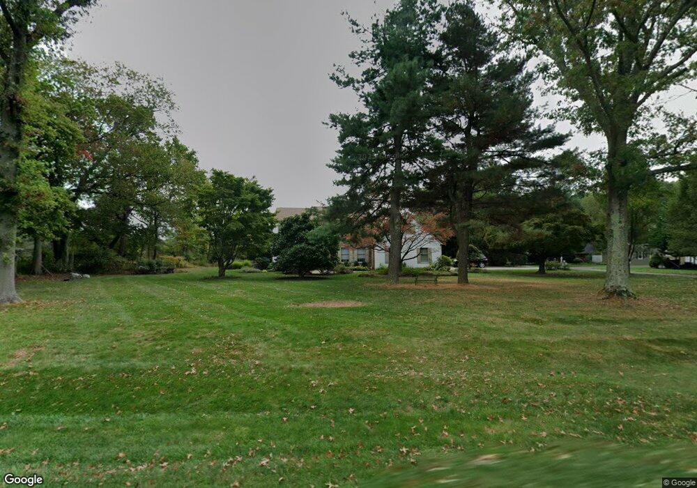
4013 Smoke Rd Doylestown, PA 18902
Buckingham AreaEstimated Value: $972,000 - $1,094,000
About This Home
This home is located at 4013 Smoke Rd, Doylestown, PA 18902 and is currently estimated at $1,010,535, approximately $291 per square foot. 4013 Smoke Rd is a home located in Bucks County with nearby schools including Linden El School, Holicong Middle School, and Central Bucks High School - East.
Ownership History
We collect this data history from publicly available records. To have your information removed, we recommend requesting removal directly through your county’s website.
Purchase Details
Purchase Details
Home Values in the Area
Average Home Value in this Area
Purchase History
We collect this data history from publicly available records. To have your information removed, we recommend requesting removal directly through your county’s website.
| Date | Buyer | Sale Price | Title Company |
|---|---|---|---|
| $495,000 | -- | ||
| $336,000 | -- |
Mortgage History
We collect this data history from publicly available records. To have your information removed, we recommend requesting removal directly through your county’s website.
| Date | Status | Borrower | Loan Amount |
|---|---|---|---|
| Open | $160,000 | ||
| Closed | $300,000 | ||
| Closed | $100,000 | ||
| Closed | $142,000 | ||
| Closed | $349,000 | ||
| Closed | $250,000 | ||
| Closed | $184,205 |
Tax History
We collect this data history from publicly available records. To have your information removed, we recommend requesting removal directly through your county’s website.
| Year | Tax Paid | Tax Assessment Tax Assessment Total Assessment is a certain percentage of the fair market value that is determined by local assessors to be the total taxable value of land and additions on the property. | Land | Improvement |
|---|---|---|---|---|
| 2026 | $8,997 | $52,760 | $10,200 | $42,560 |
| 2025 | $8,590 | $52,760 | $10,200 | $42,560 |
| 2024 | $8,590 | $52,760 | $10,200 | $42,560 |
| 2023 | $8,299 | $52,760 | $10,200 | $42,560 |
| 2022 | $8,199 | $52,760 | $10,200 | $42,560 |
| 2021 | $8,101 | $52,760 | $10,200 | $42,560 |
| 2020 | $8,101 | $52,760 | $10,200 | $42,560 |
| 2019 | $8,049 | $52,760 | $10,200 | $42,560 |
| 2018 | $8,049 | $52,760 | $10,200 | $42,560 |
| 2017 | $7,983 | $52,760 | $10,200 | $42,560 |
| 2016 | $8,062 | $52,760 | $10,200 | $42,560 |
| 2015 | -- | $52,760 | $10,200 | $42,560 |
| 2014 | -- | $52,760 | $10,200 | $42,560 |
Map
- 4040 Diane Way
- 3715 Windridge Dr
- 3740 Concord Rd
- 3965 Regina Place
- 3832 Forest Dr
- 3795 Route 202 Unit 202
- 3901 Charter Club Dr
- 4441 Fell Rd
- 4064 Charter Club Dr
- 4075 Branches Ln
- 4241 Lynn Cir
- 3555 Burnt House Hill Rd
- 2885 Mill Rd
- 39 East St
- 3678 Hancock Ln
- 2959 Burnt House Hill Rd
- 465 E State St
- 3689 Hancock Ln
- 388 Linden Ave
- 2723 Mill Rd
- 4001 Smoke Rd
- 4026 Smoke Rd
- 4005 Smoke Rd
- 3511 Buttonwood Dr
- 3965 Smoke Rd
- 3529 Buttonwood Dr
- 3510 Buttonwood Dr
- 3961 Smoke Rd
- 3957 Smoke Rd
- 3528 Buttonwood Dr
- 3549 Buttonwood Dr
- 3450 Church School Rd
- 3548 Buttonwood Dr
- 3561 Windridge Dr
- 3551 Windridge Dr
- 3571 Windridge Dr
- 3513 Concord Rd
- 3563 Buttonwood Dr
- 3541 Windridge Dr
- 3919 Smoke Rd
Ask me questions while you tour the home.