Estimated Value: $2,854,414
--
Bed
--
Bath
13,552
Sq Ft
$211/Sq Ft
Est. Value
About This Home
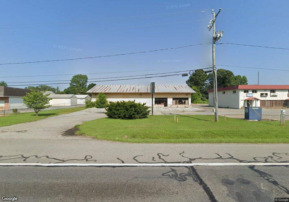
This home is located at 4002 S Dupont Hwy, Dover, DE 19901 and is currently estimated at $2,854,414, approximately $210 per square foot. 4002 S Dupont Hwy is a home located in Kent County with nearby schools including Nellie Hughes Stokes Elementary School, Fred Fifer Middle School, and Caesar Rodney High School.
Ownership History
Date
Name
Owned For
Owner Type
Purchase Details
Closed on
Dec 28, 2020
Sold by
C & W Property Management Co Inc
Bought by
Two Farms Inc
Current Estimated Value
Purchase Details
Closed on
Jan 24, 2013
Sold by
C & W Auto Parts Inc
Bought by
C & W Property Management Co Inc
Purchase Details
Closed on
Feb 7, 2003
Bought by
C & W Property Management Co and Anderson Randy D
Create a Home Valuation Report for This Property
The Home Valuation Report is an in-depth analysis detailing your home's value as well as a comparison with similar homes in the area
Home Values in the Area
Average Home Value in this Area
Purchase History
| Date | Buyer | Sale Price | Title Company |
|---|---|---|---|
| Two Farms Inc | $1,950,000 | None Available | |
| C & W Property Management Co Inc | -- | None Available | |
| C & W Property Management Co | -- | -- |
Source: Public Records
Tax History Compared to Growth
Tax History
| Year | Tax Paid | Tax Assessment Tax Assessment Total Assessment is a certain percentage of the fair market value that is determined by local assessors to be the total taxable value of land and additions on the property. | Land | Improvement |
|---|---|---|---|---|
| 2025 | $5,586 | $1,413,900 | $525,100 | $888,800 |
| 2024 | $5,586 | $1,413,900 | $525,100 | $888,800 |
| 2023 | $6,808 | $269,400 | $23,000 | $246,400 |
| 2022 | $6,425 | $269,400 | $23,000 | $246,400 |
| 2021 | $6,372 | $269,400 | $23,000 | $246,400 |
| 2020 | $6,266 | $269,400 | $23,000 | $246,400 |
| 2019 | $6,015 | $269,400 | $23,000 | $246,400 |
| 2018 | $5,798 | $269,400 | $23,000 | $246,400 |
| 2017 | $5,631 | $269,400 | $0 | $0 |
| 2016 | $5,513 | $269,400 | $0 | $0 |
| 2015 | -- | $269,400 | $0 | $0 |
| 2014 | -- | $269,400 | $0 | $0 |
Source: Public Records
Map
Nearby Homes
- 16 Lone Tree Dr
- 256 Headstart Ln
- 19 S Main St
- 103 Osprey Ct
- 45 Brookfield Dr
- 42 Brookfield Dr
- 237 E Camden Wyoming Ave
- 109 Wesley St
- 272 King Henry Ct
- 224 King Henry Ct
- 15 Wesley St
- Lot 22 Bee Brookfield Dr
- 111 Meeting House Ln
- 870 Brookfield Dr
- 850 Brookfield Dr
- 106 Steffens Blvd
- Aster Plan at Brookfield
- Linden Plan at Brookfield
- Beech Plan at Brookfield
- Garrett Plan at Brookfield